File:Wilheringer Hof 13.jpg
Jump to navigation
Jump to search

Size of this preview: 800 × 215 pixels. Other resolutions: 320 × 86 pixels | 640 × 172 pixels | 1,024 × 275 pixels | 1,280 × 344 pixels | 2,560 × 687 pixels | 16,544 × 4,440 pixels.
Original file (16,544 × 4,440 pixels, file size: 29.16 MB, MIME type: image/jpeg)
Captions
Captions
Add a one-line explanation of what this file represents
| Warning | The original file is very high-resolution. It might not load properly or could cause your browser to freeze when opened at full size. |
|---|
Summary
[edit]| Description |
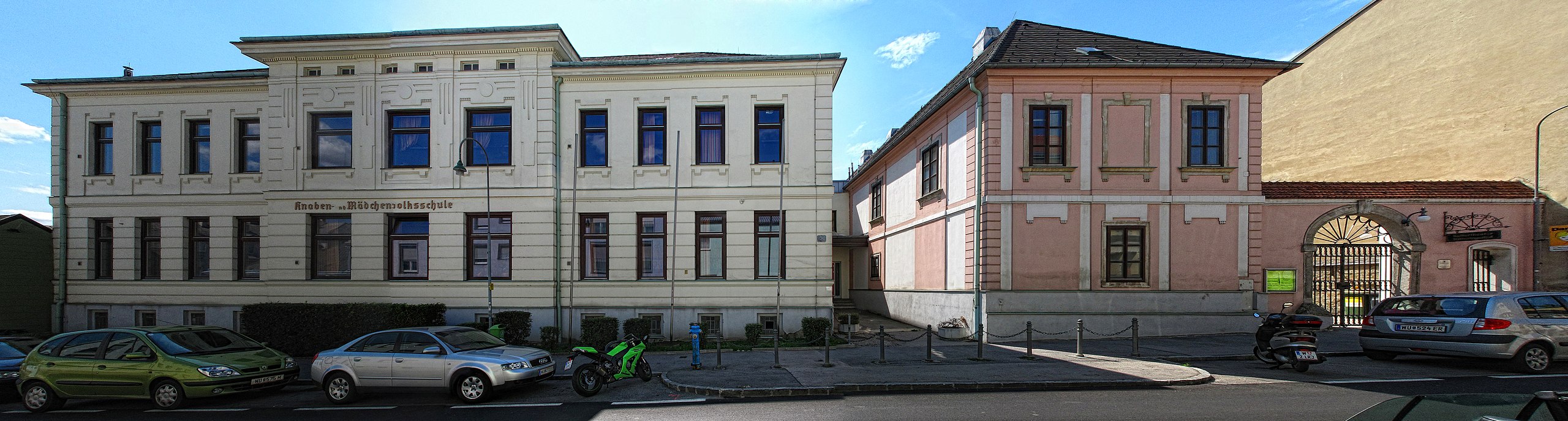
ehemaliger Wilheringer Hof, Albrechtstraße 59-63, 3400 Klosterneuburg, Austria |
||
| Date | |||
| Source | Own work | ||
| Author | Clemens PFEIFFER | ||
| Permission (Reusing this file) |
|

| Camera location | | View this and other nearby images on: OpenStreetMap |
|---|
| Object location | | View this and other nearby images on: OpenStreetMap |
|---|
Licensing
[edit]
This file is licensed under the Creative Commons Attribution 3.0 Unported license.
- You are free:
- to share – to copy, distribute and transmit the work
- to remix – to adapt the work
- Under the following conditions:
- attribution – You must give appropriate credit, provide a link to the license, and indicate if changes were made. You may do so in any reasonable manner, but not in any way that suggests the licensor endorses you or your use.
File history
Click on a date/time to view the file as it appeared at that time.
| Date/Time | Thumbnail | Dimensions | User | Comment | |
|---|---|---|---|---|---|
| current | 10:55, 28 August 2011 | 16,544 × 4,440 (29.16 MB) | Panoramafotos.net (talk | contribs) |
You cannot overwrite this file.
File usage on Commons
The following 2 pages use this file:
File usage on other wikis
The following other wikis use this file:
- Usage on de.wikipedia.org
- Usage on en.wikipedia.org
- Usage on www.wikidata.org