File:Wiesenweg am Venusberg.jpg
Jump to navigation
Jump to search
Size of this preview: 800 × 466 pixels. Other resolutions: 320 × 187 pixels | 640 × 373 pixels | 1,024 × 597 pixels | 1,280 × 746 pixels | 2,560 × 1,492 pixels | 4,608 × 2,686 pixels.
Original file (4,608 × 2,686 pixels, file size: 5.34 MB, MIME type: image/jpeg)
Captions
Captions
Add a one-line explanation of what this file represents
Summary
[edit]
| Description |
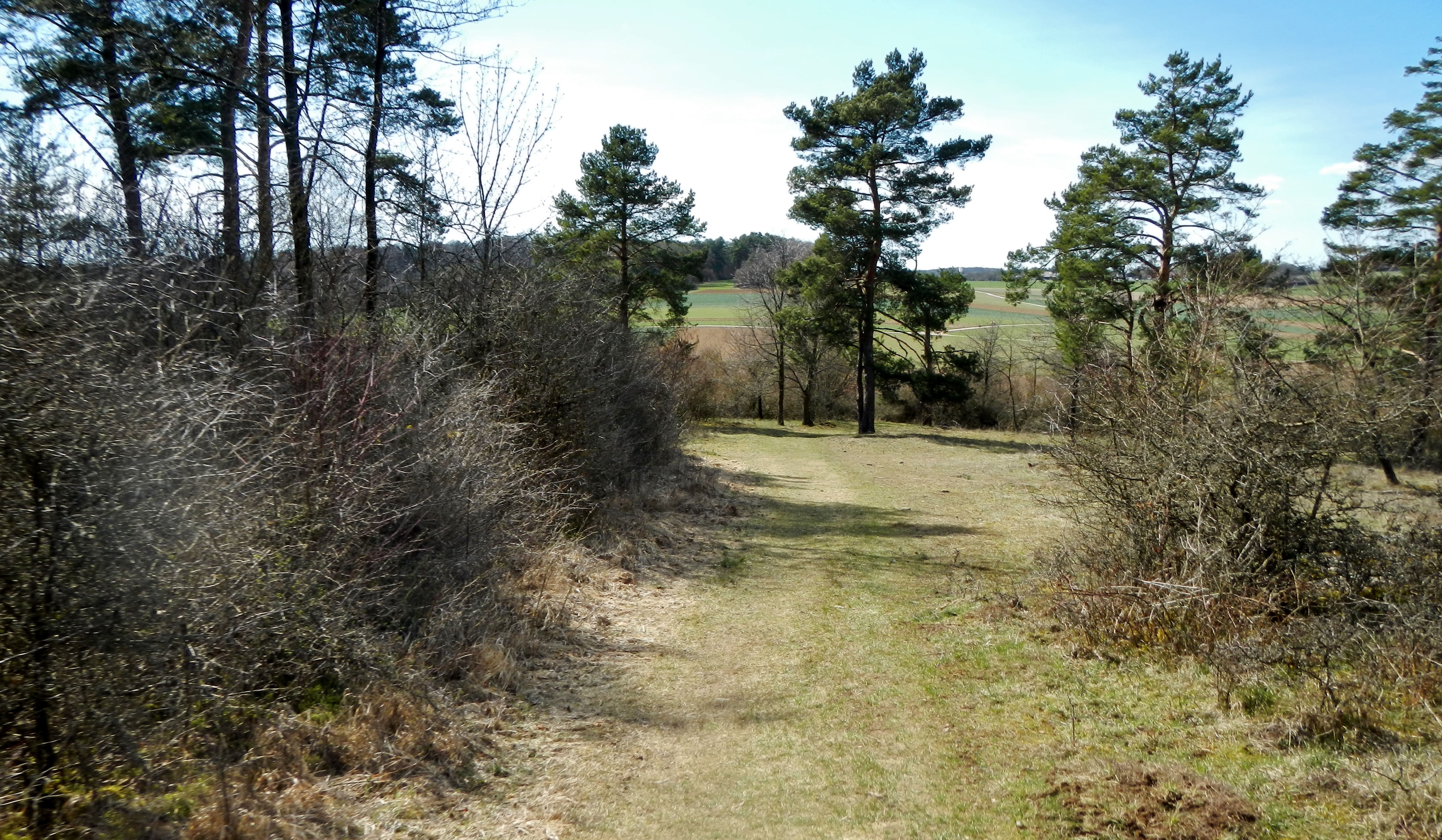
Deutsch: Weg im Naturschutzgebiet Venusberg, genauer Naturschutzgebiet Venusberg - Wolfsäcker - Besental/Halde. |
| Date | |
| Source | panoramio.com |
| Author | Qwesy |
| Camera location | | View this and other nearby images on: OpenStreetMap |
|---|
Licensing
[edit]
This file is licensed under the Creative Commons Attribution 3.0 Unported license.
Attribution: Qwesy
- You are free:
- to share – to copy, distribute and transmit the work
- to remix – to adapt the work
- Under the following conditions:
- attribution – You must give appropriate credit, provide a link to the license, and indicate if changes were made. You may do so in any reasonable manner, but not in any way that suggests the licensor endorses you or your use.
| This image was originally posted to Panoramio by Qwesy at https://www.panoramio.com/photo/88863142. It was reviewed on 26 April 2014 by the Panoramio Review Bot robot and was confirmed to be licensed under the terms of the cc-by-3.0. |
File history
Click on a date/time to view the file as it appeared at that time.
| Date/Time | Thumbnail | Dimensions | User | Comment | |
|---|---|---|---|---|---|
| current | 15:25, 25 April 2014 | | 4,608 × 2,686 (5.34 MB) | Pustekuchen2014 (talk | contribs) | {{Information |Description ={{de|1=Weg im Naturschutzgebiet Venusberg, genauer Naturschutzgebiet Venusberg - Wolfsäcker - Besental/Halde.}} |Source =[http://www.panoramio.com/photo/88863142 panoramio.com] |Author =[http://www.panora... |
You cannot overwrite this file.
File usage on Commons
The following page uses this file:
- File:Wiesenweg am Venusberg .jpg (file redirect)
File usage on other wikis
The following other wikis use this file:
- Usage on de.wikipedia.org