File:Wierzchowo (gmina) location map.png
Jump to navigation
Jump to search
Size of this preview: 800 × 514 pixels. Other resolutions: 320 × 206 pixels | 640 × 411 pixels | 1,152 × 740 pixels.
Original file (1,152 × 740 pixels, file size: 104 KB, MIME type: image/png)
Captions
Captions
Add a one-line explanation of what this file represents
| Description |
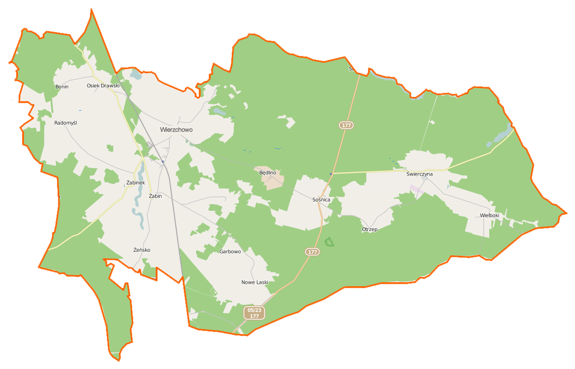
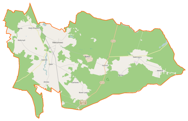
Polski: Mapa gminy Wierzchowo, Polska
English: Map of Gmina Wierzchowo, Poland |
|||||||||
| Date | ||||||||||
| Source | You may find a page on the OpenStreetMap wiki page for Wierzchowo (gmina) | |||||||||
| Creator |
OpenStreetMap contributors OpenStreetMap contributors |
|||||||||
| Permission (Reusing this file) |
OpenStreetMap data is available under the Open Database License (details). Map tiles are licensed under the Creative Commons Attribution-ShareAlike 2.0 license (CC-BY-SA 2.0).
This file is licensed under the Creative Commons Attribution-Share Alike 2.0 Generic license.
|
|||||||||
| Geotemporal data | ||||||||||
| Bounding box |
|
|||||||||
| Georeferencing | If inappropriate please set warp_status = skip to hide. | |||||||||
File history
Click on a date/time to view the file as it appeared at that time.
| Date/Time | Thumbnail | Dimensions | User | Comment | |
|---|---|---|---|---|---|
| current | 10:51, 4 March 2015 | | 1,152 × 740 (104 KB) | VanWiel (talk | contribs) | {{OpenStreetMap | name = Wierzchowo (gmina) | location = Wierzchowo (gmina) | description = {{pl|Mapa gminy Wierzchowo, Polska}} {{en|Map of Gmina Wierzchowo, Poland}} | top = 53.5136 | bottom = 53.... |
You cannot overwrite this file.
File usage on Commons
There are no pages that use this file.
File usage on other wikis
The following other wikis use this file:
- Usage on fr.wikipedia.org
- Usage on pl.wikipedia.org
- Wierzchowo (gmina)
- Będlino
- Garbowo (województwo zachodniopomorskie)
- Nowe Laski
- Osiek Drawski
- Otrzep
- Wielboki
- Żabinek
- Sośnica (województwo zachodniopomorskie)
- Świerczyna (powiat drawski)
- Żabin (województwo zachodniopomorskie)
- Wierzchowo (powiat drawski)
- Żeńsko (powiat drawski)
- Radomyśl (powiat drawski)
- Bonin (powiat drawski)
- Dębniewice
- Danowice
- Knowie
- Króle (województwo zachodniopomorskie)
- Wierzchówko
- Studnica (jezioro na Równinie Wałeckiej)
- Rezerwat przyrody Sośnica
- Będlino (przystanek kolejowy)
- Wierzchowo Pomorskie
- Sośnica Pomorska
- Świerczyna Drawska
- Wielboki (przystanek kolejowy)
- Osiek Drawski (przystanek kolejowy)
- Borujsko (przystanek kolejowy)
- Racza (wzniesienie)
- Parafia św. Wojciecha Biskupa i Męczennika w Wierzchowie
- Parafia Matki Bożej Różańcowej w Świerczynie
View more global usage of this file.
_location_map.png)
_location_map.png&oldid=506936625)