File:Wien Wallensteinstraße Openstreetmap 160514.png
Jump to navigation
Jump to search

Size of this preview: 800 × 443 pixels. Other resolutions: 320 × 177 pixels | 640 × 354 pixels | 1,241 × 687 pixels.
Original file (1,241 × 687 pixels, file size: 1.41 MB, MIME type: image/png)
Captions
Captions
Add a one-line explanation of what this file represents
Summary
[edit]
| Description |
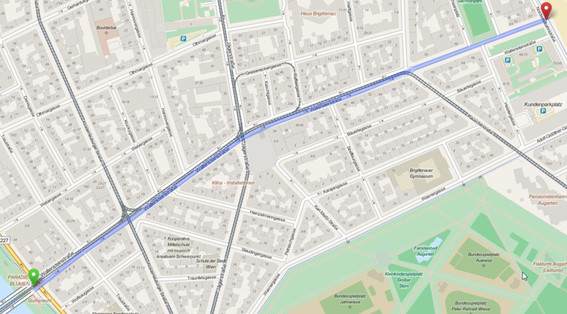
Deutsch: Diese (noch nicht ganz vollständige) Karte (Stand 14. Mai 2016) des offen Kartenerstellungsprojekts OpenStreetMap zeigt die Wallensteinstraße im 20. Wiener Gemeindebezirk Brigittenau / Wien / Österreich.
Diese Karte entstammt dem offenen OpenStreetMap Projekt, erstellt von der Community. Diese Karte kann unvollständig sein oder Fehler enthalten. Verlasse dich in Navigationsfragen nicht alleine darauf. English: This map was created from OpenStreetMap project data, collected by the community. This map may be incomplete, and may contain errors. Don't rely solely on it for navigation. Español: Este mapa fue creado con los datos del proyecto OpenStreetMap, obtenidos por la comunidad. Este mapa puede estar incompleto, y puede contener errores. No se fíe solamente en él para las navegaciones. Français : Cette carte a été créée à partir des données du projet OpenStreetMap. Cette carte est peut-être incomplète et peut contenir des erreurs. Ne vous fiez pas uniquement à elle pour vos déplacements. Italiano: Questa mappa è stata creata con dati raccolti dal progetto OpenStreetMap. La mappa potrebbe essere incompleta e contenere errori. Non affidarsi esclusivamente ad essa per la navigazione. |
| Date | see file history |
| Source | www.openstreetmap.org |
| Author | OpenStreetMap contributors |
| Permission (Reusing this file) |
All OpenStreetMap data and maps are Creative Commons "CC-BY-SA 2.0" licensed This file is licensed under the Creative Commons Attribution-Share Alike 2.0 Generic license.
|
| Object location | | View this and other nearby images on: OpenStreetMap |
|---|
File history
Click on a date/time to view the file as it appeared at that time.
| Date/Time | Thumbnail | Dimensions | User | Comment | |
|---|---|---|---|---|---|
| current | 20:56, 14 May 2016 | | 1,241 × 687 (1.41 MB) | Joadl (talk | contribs) | == {{int:filedesc}} == {{Information |Description= {{Multilingual description |de= Diese (noch nicht ganz vollständige) Karte (Stand 14. Mai 2016) des offen Kartenerstellungsprojekts OpenStreetMap zeigt die Wallensteinstraße in Wien. Diese Karte {{#i... |
You cannot overwrite this file.
File usage on Commons
The following page uses this file:
File usage on other wikis
The following other wikis use this file:
- Usage on de.wikipedia.org
- Usage on zh.wikipedia.org