File:Widok na Orličky z drogi na Suchý vrch - panoramio.jpg
Jump to navigation
Jump to search
Size of this preview: 800 × 532 pixels. Other resolutions: 320 × 213 pixels | 640 × 426 pixels | 1,024 × 681 pixels | 1,280 × 851 pixels | 1,600 × 1,064 pixels.
Original file (1,600 × 1,064 pixels, file size: 964 KB, MIME type: image/jpeg)
Captions
Captions
Add a one-line explanation of what this file represents
Summary
[edit]
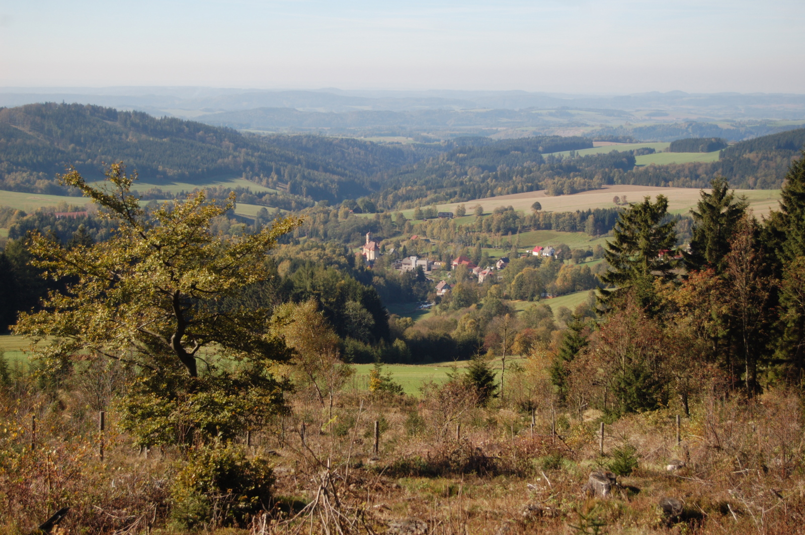
| Description | Widok na Orličky z drogi na Suchý vrch | ||
| Date | Taken on 16 October 2011 | ||
| Source | https://web.archive.org/web/20161022004623/http://www.panoramio.com/photo/60716231 | ||
| Author | Jaroslaw Komar | ||
| Permission (Reusing this file) |
This file is licensed under the Creative Commons Attribution-Share Alike 3.0 Unported license. Attribution: Jaroslaw Komar
|
||
| Tags (from Panoramio photo page) | Orličky, 2011, Czech Republic |
| Camera location | | View this and other nearby images on: OpenStreetMap |
|---|
File history
Click on a date/time to view the file as it appeared at that time.
| Date/Time | Thumbnail | Dimensions | User | Comment | |
|---|---|---|---|---|---|
| current | 01:03, 20 December 2016 | | 1,600 × 1,064 (964 KB) | Panoramio upload bot (talk | contribs) | == {{int:filedesc}} == {{Information |description=Widok na Orličky z drogi na Suchý vrch |date={{Taken on|2011-10-16}} |source=http://www.panoramio.com/photo/60716231 |author=[http://www.panoramio.com/user/328448?with_photo_id=60716231 Jaroslaw Komar... |
You cannot overwrite this file.
File usage on Commons
There are no pages that use this file.
File usage on other wikis
The following other wikis use this file: