File:Wińsko (gmina) location map.png
Original file (1,661 × 1,160 pixels, file size: 550 KB, MIME type: image/png)
Captions
Captions
Summary
[edit]_location_map.png&action=edit§ion=1)
| Description |
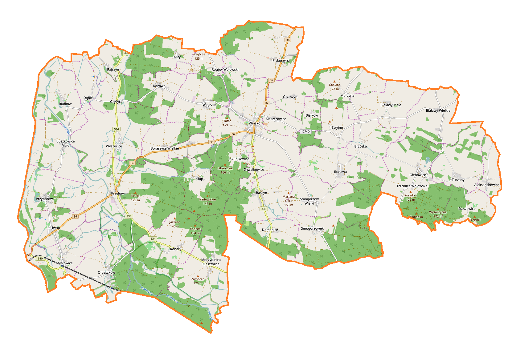
English: Location map |
| Date | |
| Source | Own work |
| Author | Smat |
| Description |
Polski: Mapa gminy Wińsko, Polska
English: Map of Wińsko (gmina), Poland |
|||||||||
| Date | ||||||||||
| Source | You may find a page on the OpenStreetMap wiki page for Wińsko (gmina) | |||||||||
| Creator |
OpenStreetMap contributors OpenStreetMap contributors |
|||||||||
| Permission (Reusing this file) |
OpenStreetMap data is available under the Open Database License (details). Map tiles are licensed under the Creative Commons Attribution-ShareAlike 2.0 license (CC-BY-SA 2.0).
This file is licensed under the Creative Commons Attribution-Share Alike 2.0 Generic license.
|
|||||||||
| Geotemporal data | ||||||||||
| Bounding box |
|
|||||||||
| Georeferencing | If inappropriate please set warp_status = skip to hide. | |||||||||
Licensing
[edit]_location_map.png&action=edit§ion=2)
| This work contains information from OpenStreetMap, which is made available under the Open Database License (ODbL).
The ODbL does not require any particular license for maps produced from ODbL data. Prior to 1 August 2020, map tiles produced by the OpenStreetMap Foundation were licensed under the CC-BY-SA-2.0 license. Maps produced by other people may be subject to other licences. |
File history
Click on a date/time to view the file as it appeared at that time.
| Date/Time | Thumbnail | Dimensions | User | Comment | |
|---|---|---|---|---|---|
| current | 15:35, 11 February 2017 | | 1,661 × 1,160 (550 KB) | Smat (talk | contribs) | User created page with UploadWizard |
You cannot overwrite this file.
File usage on Commons
There are no pages that use this file.
File usage on other wikis
The following other wikis use this file:
- Usage on de.wikipedia.org
- Usage on pl.wikipedia.org
- Białawy Małe
- Wińsko (gmina)
- Baszyn
- Białawy Wielkie
- Boraszyce Małe
- Boraszyce Wielkie
- Buszkowice Małe
- Jakubikowice
- Kleszczowice
- Kozowo
- Moczydlnica Klasztorna
- Morzyna
- Piskorzyna
- Rajczyn
- Rogów Wołowski
- Smogorzówek
- Smogorzów Wielki
- Staszowice
- Stryjno
- Wińsko
- Wrzeszów
- Wyszęcice
- Aleksandrowice (województwo dolnośląskie)
- Brzózka (województwo dolnośląskie)
- Budków (województwo dolnośląskie)
- Chwałkowice (województwo dolnośląskie)
- Głębowice (województwo dolnośląskie)
- Gryżyce (województwo dolnośląskie)
- Grzeszyn (województwo dolnośląskie)
- Iwno (województwo dolnośląskie)
- Krzelów (województwo dolnośląskie)
- Łazy (województwo dolnośląskie)
- Małowice (wieś)
- Orzeszków (województwo dolnośląskie)
- Przyborów (województwo dolnośląskie)
- Rudawa (powiat wołowski)
- Turzany (województwo dolnośląskie)
- Węgrzce (województwo dolnośląskie)
- Białków (powiat wołowski)
- Dąbie (powiat wołowski)
- Domanice (powiat wołowski)
- Konary (powiat wołowski)
- Rogówek (powiat wołowski)
- Słup (powiat wołowski)
- Węglewo (powiat wołowski)
- Trzcinica Wołowska
- Czaplice (województwo dolnośląskie)
- Gołaszów
- Młoty (powiat wołowski)
View more global usage of this file.
_location_map.png)
_location_map.png&oldid=607601171)