File:Whorlton Castle OS map.png
Jump to navigation
Jump to search
Size of this preview: 800 × 444 pixels. Other resolutions: 320 × 178 pixels | 640 × 355 pixels | 1,000 × 555 pixels.
Original file (1,000 × 555 pixels, file size: 741 KB, MIME type: image/png)
Captions
Captions
Add a one-line explanation of what this file represents
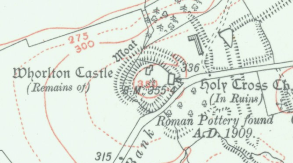
| Description | Map of Whorlton Castle and surroundings | ||||
| Date | between 1937 and 1961 | ||||
| Source | http://maps.nls.uk/geo/find/#zoom=17&lat=54.4158&lon=-1.2614&layers=14&b=7&point=0,0 | ||||
| Author | Ordnance Survey | ||||
| Permission (Reusing this file) |
|

File history
Click on a date/time to view the file as it appeared at that time.
| Date/Time | Thumbnail | Dimensions | User | Comment | |
|---|---|---|---|---|---|
| current | 21:15, 10 October 2016 | | 1,000 × 555 (741 KB) | Prioryman (talk | contribs) | {{Information |Description=Map of Whorlton Castle and surroundings |Source=http://maps.nls.uk/geo/find/#zoom=17&lat=54.4158&lon=-1.2614&layers=14&b=7&point=0,0 |Date=1937-61 |Author=Ordnance Survey |Permission={{OldOS}} |other_versions= }} [[Category... |
You cannot overwrite this file.
File usage on Commons
There are no pages that use this file.