File:Whitefish Island interpretive sign 3.JPG
Original file (3,264 × 2,448 pixels, file size: 3.63 MB, MIME type: image/jpeg)
Captions
Captions
Summary
[edit]
| Description |
English: St. Mary's River Significance
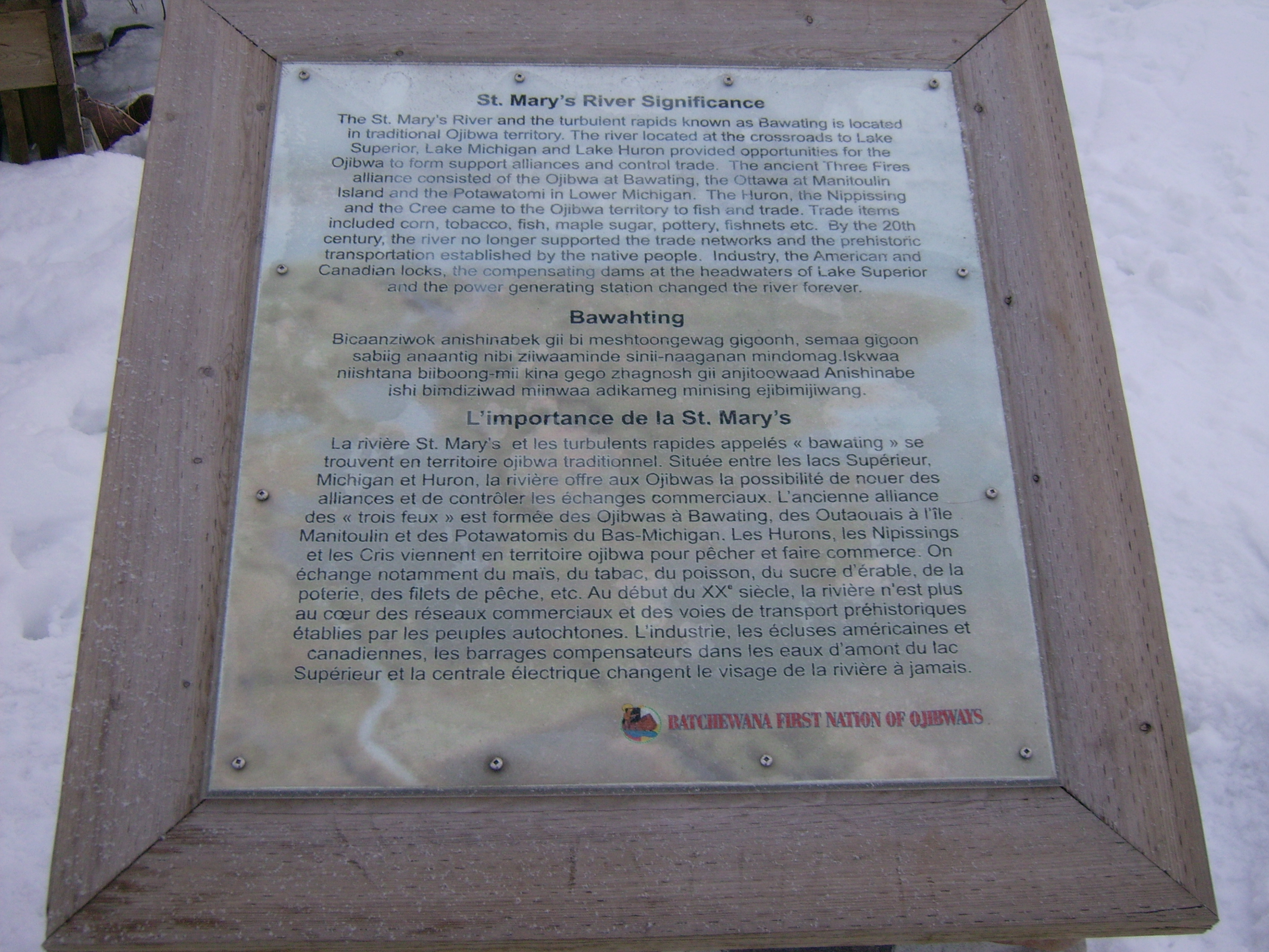
The St. Mary's River and the turbulent rapids known as Bawating is located in traditional Ojibwa territory. The river located at the crossroads to Lake Superior, Lake Michigan and Lake Huron provided opportunities for the Ojibwa to form support alliances and control trade. The ancient Three Fires alliance consisted of the Ojibwa at Bawating, the Ottawa at Manitoulin Island and the Potawatomi in Lower Michigan. The Huron, the Nippissing and the Cree came to the Ojibwa territory to fish and trade. Trade items included corn, tobacco, fish, maple sugar, pottery, fishnets etc. By the 20th century, the river no longer supported the trade networks and the prehistoric transportation established by the native people. Industry, the American and Canadian locks, the compensating dams at the headwaters of Lake Superior and the power generating station changed the river forever. Anishinaabemowin: Bawahting Bicaanziwok anishinabek gii bi meshtoongewag gigoonh, semaa gigoon sabiig anaantig nibi ziiwaaminde sinii-naaganan mindomag. Iskwaa niishtana biiboong-mii kina gego zhagnosh gii anjitoowaad Anishinabe ishi bimdiziwad miinwaa adikameg minising ejibimijiwang.Français : L'importance de la St. Mary's
La rivière St. Mary's et les turbulents rapides appelés « bawating » se trouvent en territoire ojibwa traditionnel. Située entre les lacs Supérieur, Michigan et Huron, la rivière offre aux Ojibwas la possibilité de nouer des alliances et de contrôler les échanges commerciaux. L'ancienne alliance des « trois feux » est formée des Ojibwas à Bawating, des Outaouais à l'île Manitoulin et des Potawatomis du Bas-Michigan. Les Hurons, les Nipissings et les Cris viennent en territoire ojibwa pour pêcher et faire commerce. On échange notamment du maïs, du tabac, du sucre d'érable, de la poterie, des files de pêche, etc. Au début du XXe siècle, la rivière n'est plus au cœur des réseaux commerciaux et des voies de transport préhistoriques établies par les peuples autochtones. L'industrie, les écluses américaines et canadiennes, les barrages compensateurs dans les eaux d'amont du lac Supérieur et la centrale électrique changent le visage de la rivière à jamais. |
| Date | |
| Source | Own work |
| Author | Fungus Guy |
Licensing
[edit]
- You are free:
- to share – to copy, distribute and transmit the work
- to remix – to adapt the work
- Under the following conditions:
- attribution – You must give appropriate credit, provide a link to the license, and indicate if changes were made. You may do so in any reasonable manner, but not in any way that suggests the licensor endorses you or your use.
- share alike – If you remix, transform, or build upon the material, you must distribute your contributions under the same or compatible license as the original.
File history
Click on a date/time to view the file as it appeared at that time.
| Date/Time | Thumbnail | Dimensions | User | Comment | |
|---|---|---|---|---|---|
| current | 01:22, 21 March 2013 | | 3,264 × 2,448 (3.63 MB) | Fungus Guy (talk | contribs) | User created page with UploadWizard |
You cannot overwrite this file.
File usage on Commons
The following page uses this file: