File:Westwick Row - geograph.org.uk - 1248760.jpg
Jump to navigation
Jump to search
No higher resolution available.
Westwick_Row_-_geograph.org.uk_-_1248760.jpg (640 × 480 pixels, file size: 70 KB, MIME type: image/jpeg)
Captions
Captions
Add a one-line explanation of what this file represents
Summary
[edit]
| Description |
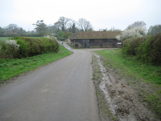
English: Westwick Row Westwick Row is one of those places where the name of the place and the road are the same. In the dip is one of the outbuildings of Westwick Row Farm. In the 1883 Edition of the Ordnance Survey mapping the farm appeared as Westwickrow Farm, but from the 1899 through to the 1938 Editions it was shown as just Westwick Farm. |
| Date | |
| Source | From geograph.org.uk |
| Author | Nigel Cox |
| Attribution (required by the license) | Nigel Cox / Westwick Row / |
| Camera location | | View this and other nearby images on: OpenStreetMap |
|---|
_heading:315.00&language=en)
| Object location | | View this and other nearby images on: OpenStreetMap |
|---|
_heading:315.00&language=en)
Licensing
[edit]

|
This image was taken from the Geograph project collection. See this photograph's page on the Geograph website for the photographer's contact details. The copyright on this image is owned by Nigel Cox and is licensed for reuse under the Creative Commons Attribution-ShareAlike 2.0 license.
|
This file is licensed under the Creative Commons Attribution-Share Alike 2.0 Generic license.
Attribution: Nigel Cox
- You are free:
- to share – to copy, distribute and transmit the work
- to remix – to adapt the work
- Under the following conditions:
- attribution – You must give appropriate credit, provide a link to the license, and indicate if changes were made. You may do so in any reasonable manner, but not in any way that suggests the licensor endorses you or your use.
- share alike – If you remix, transform, or build upon the material, you must distribute your contributions under the same or compatible license as the original.
File history
Click on a date/time to view the file as it appeared at that time.
| Date/Time | Thumbnail | Dimensions | User | Comment | |
|---|---|---|---|---|---|
| current | 18:20, 26 February 2011 | | 640 × 480 (70 KB) | GeographBot (talk | contribs) | == {{int:filedesc}} == {{Information |description={{en|1=Westwick Row Westwick Row is one of those places where the name of the place and the road are the same. In the dip is one of the outbuildings of Westwick Row Farm. In the 1883 Edition of the Ordnanc |
You cannot overwrite this file.
File usage on Commons
The following page uses this file:
File usage on other wikis
The following other wikis use this file:
- Usage on en.wikipedia.org
- Usage on www.wikidata.org