File:Westgard Pass.jpg
Jump to navigation
Jump to search

Size of this preview: 800 × 600 pixels. Other resolutions: 320 × 240 pixels | 640 × 480 pixels | 1,024 × 768 pixels | 1,280 × 960 pixels | 2,560 × 1,920 pixels | 4,032 × 3,024 pixels.
Original file (4,032 × 3,024 pixels, file size: 4.76 MB, MIME type: image/jpeg)
Captions
Captions
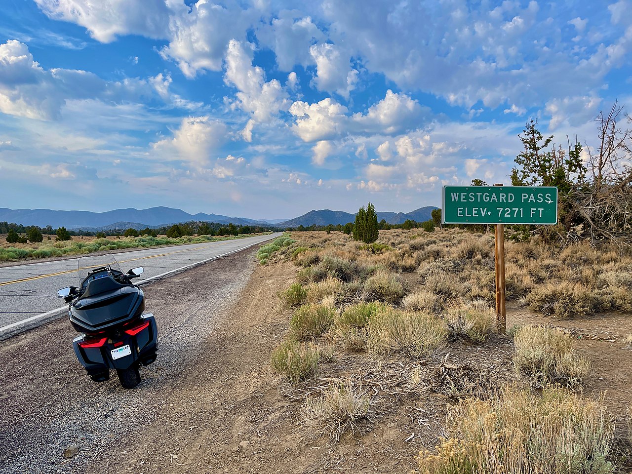
Westgard Pass on California State Route 168
Summary
[edit]| Description |
English: Westgard Pass signage along CA SR168 facing South |
||
| Date | Taken on 17 June 2021 | ||
| Source | Own work by the original uploader | ||
| Author | Oliver Ratzesberger (talk · contribs) | ||
| Other versions |
|

| Camera location | | View this and other nearby images on: OpenStreetMap |
|---|
Licensing
[edit]
Oliver Ratzesberger, the copyright holder of this work, hereby publishes it under the following license:
This file is licensed under the Creative Commons Attribution-Share Alike 4.0 International license.
Attribution: Oliver Ratzesberger
- You are free:
- to share – to copy, distribute and transmit the work
- to remix – to adapt the work
- Under the following conditions:
- attribution – You must give appropriate credit, provide a link to the license, and indicate if changes were made. You may do so in any reasonable manner, but not in any way that suggests the licensor endorses you or your use.
- share alike – If you remix, transform, or build upon the material, you must distribute your contributions under the same or compatible license as the original.
File history
Click on a date/time to view the file as it appeared at that time.
| Date/Time | Thumbnail | Dimensions | User | Comment | |
|---|---|---|---|---|---|
| current | 06:16, 2 July 2022 | | 4,032 × 3,024 (4.76 MB) | Hike395 (talk | contribs) | =={{int:filedesc}}== {{Information |description={{en|1=Westgard Pass signage along CA SR168 facing South}} |date={{Taken on|2021-06-17}} |source={{own work by original uploader}} |author={{User|Oratzes|Oliver Ratzesberger}} |permission= |other versions={{Compressed version|File:Westgard Pass.png}} }} {{Location|37.29454|-118.15334}} =={{int:license-header}}== {{self|author=Oliver Ratzesberger|cc-by-sa-4.0}} Category:Westgard Pass |
You cannot overwrite this file.
File usage on Commons
The following page uses this file:
File usage on other wikis
The following other wikis use this file:
- Usage on en.wikipedia.org