File:Western region map.jpg
Jump to navigation
Jump to search

Size of this preview: 800 × 556 pixels. Other resolutions: 320 × 222 pixels | 640 × 445 pixels | 1,024 × 711 pixels | 1,150 × 799 pixels.
Original file (1,150 × 799 pixels, file size: 47 KB, MIME type: image/jpeg)
Captions
Captions
Add a one-line explanation of what this file represents


Summary
[edit]
| Description |
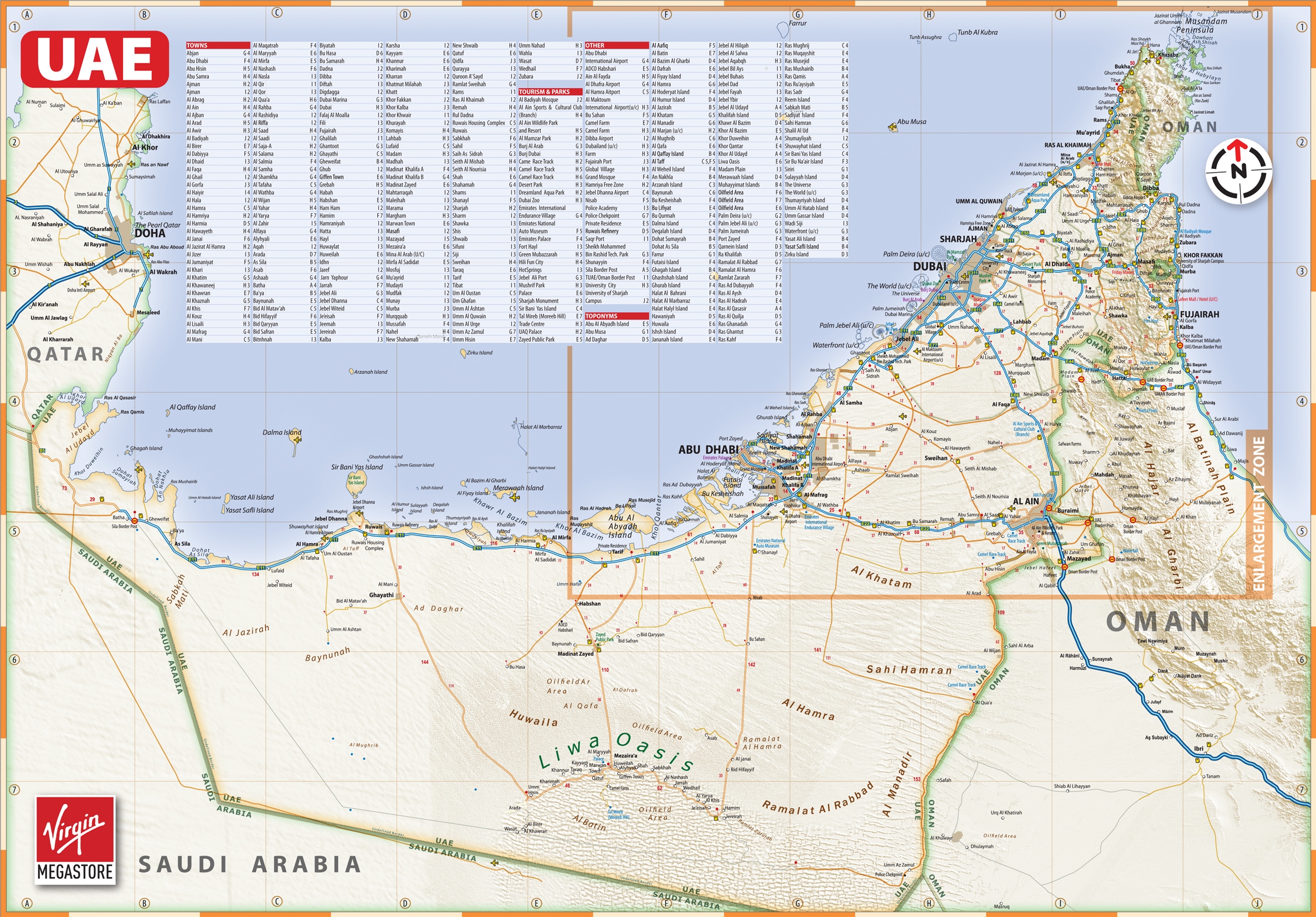
خريطة المنطقة الغربية ومراكز تم Some of the illegible place names and most roads are on this map: http://ontheworldmap.com/uae/large-detailed-map-of-uae-with-cities-and-towns.jpg |
| Source | Own work |
| Author | Western Region |
Licensing
[edit]
| I, the copyright holder of this work, release this work into the public domain. This applies worldwide. In some countries this may not be legally possible; if so: I grant anyone the right to use this work for any purpose, without any conditions, unless such conditions are required by law. |
| Annotations | This image is annotated: View the annotations at Commons |
File history
Click on a date/time to view the file as it appeared at that time.
| Date/Time | Thumbnail | Dimensions | User | Comment | |
|---|---|---|---|---|---|
| current | 17:56, 24 October 2017 | | 1,150 × 799 (47 KB) | Ratzer (talk | contribs) | reduced width-heigth distortion, using eyeballing |
| 18:53, 12 April 2010 |  | 721 × 799 (31 KB) | Western Region (talk | contribs) | {{Information |Description= خريطة المنطقة الغربية ومراكز تم |Source= [own work] |Date= |Author= Western Region |Permission= |other_versions= }} |
You cannot overwrite this file.
File usage on Commons
There are no pages that use this file.
File usage on other wikis
The following other wikis use this file:
- Usage on de.wikipedia.org