File:Western United States counties, blank.svg
Jump to navigation
Jump to search

Size of this PNG preview of this SVG file: 574 × 600 pixels. Other resolutions: 230 × 240 pixels | 459 × 480 pixels | 735 × 768 pixels | 980 × 1,024 pixels | 1,960 × 2,048 pixels | 600 × 627 pixels.
Original file (SVG file, nominally 600 × 627 pixels, file size: 620 KB)
Captions
Captions
Add a one-line explanation of what this file represents
| Description |
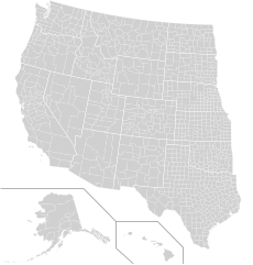
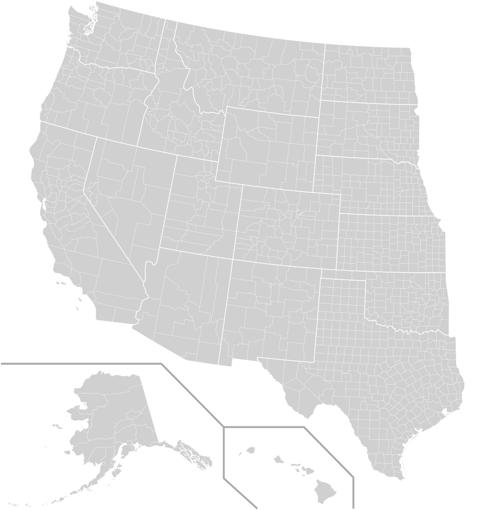
English: Blank map of the western United States |
|||
| Date | ||||
| Source | File:USA counties white borders.svg | |||
| Author | Kingofthedead, see File:Usa counties large.svg for other information | |||
| Permission (Reusing this file) |
|

File history
Click on a date/time to view the file as it appeared at that time.
| Date/Time | Thumbnail | Dimensions | User | Comment | |
|---|---|---|---|---|---|
| current | 20:45, 23 September 2017 | | 600 × 627 (620 KB) | Kingofthedead (talk | contribs) | {{Information |Description ={{en|1=Blank map of the western United States}} |Source =File:USA counties white borders.svg |Author =MB298, see File:Usa counties large.svg for other information |Date =... |
You cannot overwrite this file.
File usage on Commons
There are no pages that use this file.