File:West Virginia Counties.png
Jump to navigation
Jump to search
Size of this preview: 776 × 599 pixels. Other resolutions: 311 × 240 pixels | 622 × 480 pixels | 995 × 768 pixels | 1,280 × 989 pixels | 2,200 × 1,699 pixels.
Original file (2,200 × 1,699 pixels, file size: 81 KB, MIME type: image/png)
Captions
Captions
Add a one-line explanation of what this file represents
Summary
[edit]
| Description |
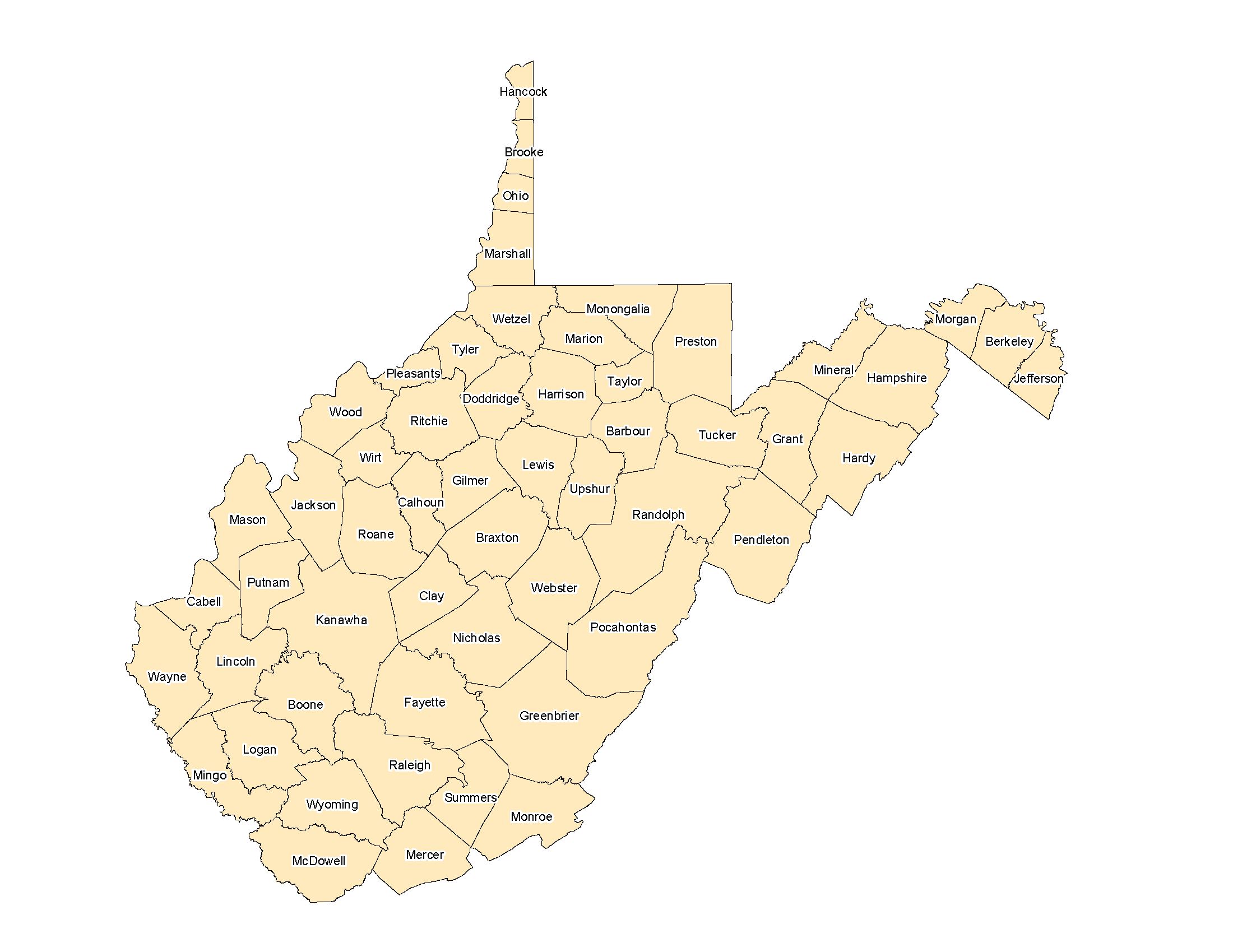
English: Map of West Virginia counties. |
| Date | |
| Source | Own work by the original uploader |
| Author | Christian louis mcdonald |
| Other versions | Derivative works of this file: WVjudicialcircuits.png |
Licensing
[edit]
| This file is licensed under the Creative Commons Attribution-Share Alike 3.0 Unported license. Subject to disclaimers. | ||
| ||
| This licensing tag was added to this file as part of the GFDL licensing update. |

|
Permission is granted to copy, distribute and/or modify this document under the terms of the GNU Free Documentation License, Version 1.2 or any later version published by the Free Software Foundation; with no Invariant Sections, no Front-Cover Texts, and no Back-Cover Texts. A copy of the license is included in the section entitled GNU Free Documentation License. Subject to disclaimers. |
Original upload log
[edit]
The original description page was here. All following user names refer to en.wikipedia.
- 2004-08-09 18:51 Monsta coty scott 2200×1699× (82529 bytes)
File history
Click on a date/time to view the file as it appeared at that time.
| Date/Time | Thumbnail | Dimensions | User | Comment | |
|---|---|---|---|---|---|
| current | 02:12, 7 July 2016 | | 2,200 × 1,699 (81 KB) | OgreBot (talk | contribs) | (BOT): Uploading old version of file from en.wikipedia; originally uploaded on 2004-08-09 18:51:24 by Monsta coty scott |
| 21:44, 16 October 2006 |  | 776 × 599 (151 KB) | JosN (talk | contribs) | Map of West Virginia counties. |
You cannot overwrite this file.
File usage on Commons
The following page uses this file:
File usage on other wikis
The following other wikis use this file:
- Usage on en.wikipedia.org
- Usage on eo.wikipedia.org
- Usage on it.wikipedia.org
- Usage on nds.wikipedia.org
- Usage on pt.wikipedia.org
- Usage on ro.wikipedia.org
- Usage on simple.wikipedia.org