File:West Bank Hiking Map מבצר דוק.jpg
Jump to navigation
Jump to search

Size of this preview: 800 × 486 pixels. Other resolutions: 320 × 194 pixels | 640 × 389 pixels | 1,024 × 622 pixels | 1,449 × 880 pixels.
Original file (1,449 × 880 pixels, file size: 500 KB, MIME type: image/jpeg)
Captions
Captions
Add a one-line explanation of what this file represents
Summary
[edit]
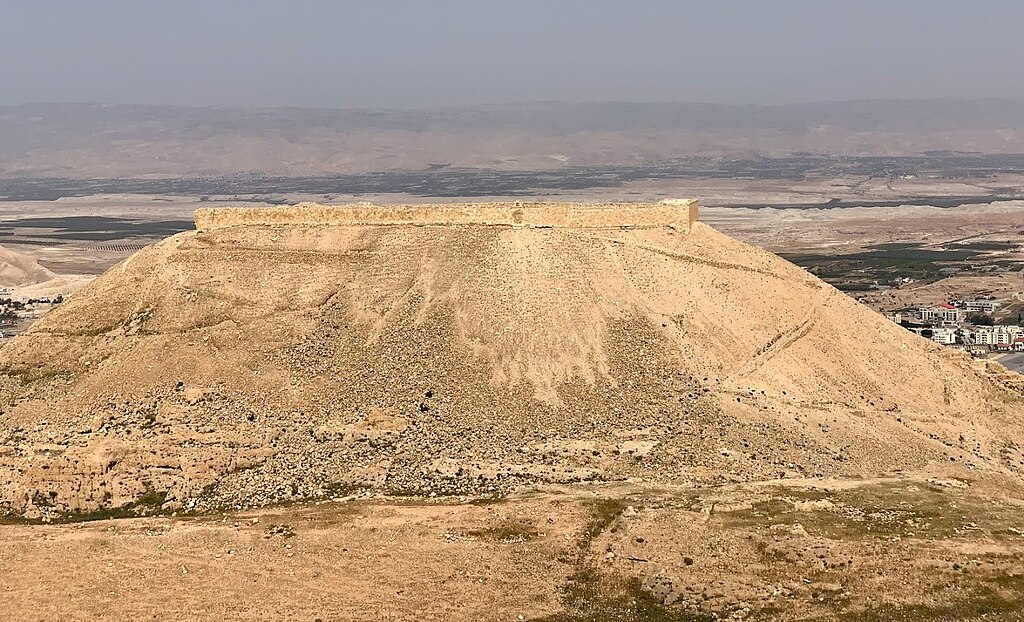
| Description | מבצר הקדום ביותר מבין המבצרים ששימשו את החשמונאים. |
| Date | |
| Source | Own work |
| Author | gavze |
| Openstreetmap entry | Link to Openstreetmap |
| Object location | | View this and other nearby images on: OpenStreetMap |
|---|
Licensing
[edit]
I, the copyright holder of this work, hereby publish it under the following license:
This file is licensed under the Creative Commons Attribution-Share Alike 4.0 International license.
- You are free:
- to share – to copy, distribute and transmit the work
- to remix – to adapt the work
- Under the following conditions:
- attribution – You must give appropriate credit, provide a link to the license, and indicate if changes were made. You may do so in any reasonable manner, but not in any way that suggests the licensor endorses you or your use.
- share alike – If you remix, transform, or build upon the material, you must distribute your contributions under the same or compatible license as the original.
| Camera location | | View this and other nearby images on: OpenStreetMap |
|---|
File history
Click on a date/time to view the file as it appeared at that time.
| Date/Time | Thumbnail | Dimensions | User | Comment | |
|---|---|---|---|---|---|
| current | 08:36, 12 May 2019 | | 1,449 × 880 (500 KB) | IsraelHikingMap (talk | contribs) | =={{int:filedesc}}== {{Information |date=2019-05-12 |description=מבצר הקדום ביותר מבין המבצרים ששימשו את החשמונאים. |source={{own}} |author=[//www.openstreetmap.org/user/gavze gavze] |permission= |other versions= }} =={{int:license-header}}== {{self|cc-by-sa-4.0}} {{Location|1=31.8742329|2=35.4308369}} Category:Israel Hiking Map |
You cannot overwrite this file.
File usage on Commons
The following 3 pages use this file:
- Commons:Files used on OpenStreetMap/205
- File:Israel Hiking Map מבצר דוק.jpeg (file redirect)
- File:Israel Hiking Map מבצר דוק 1.jpeg (file redirect)