File:WestDerbyshire2007Constituency.svg
Jump to navigation
Jump to search

Size of this PNG preview of this SVG file: 214 × 337 pixels. Other resolutions: 152 × 240 pixels | 305 × 480 pixels | 488 × 768 pixels | 650 × 1,024 pixels | 1,300 × 2,048 pixels.
Original file (SVG file, nominally 214 × 337 pixels, file size: 170 KB)
Captions
Captions
Add a one-line explanation of what this file represents
Summary
[edit]
| Description |
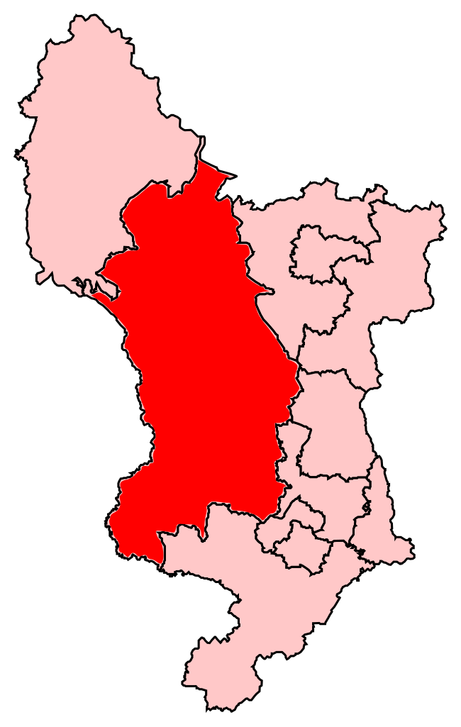
English: Map of West Derbyshire following the 2007 electoral boundary changes. |
| Date | |
| Source | Own work by uploader (edited from other similar public domain maps in this section) |
| Author | Joebloggsy |
Licensing
[edit]
| I, the copyright holder of this work, release this work into the public domain. This applies worldwide. In some countries this may not be legally possible; if so: I grant anyone the right to use this work for any purpose, without any conditions, unless such conditions are required by law. |
File history
Click on a date/time to view the file as it appeared at that time.
| Date/Time | Thumbnail | Dimensions | User | Comment | |
|---|---|---|---|---|---|
| current | 18:13, 29 January 2009 | | 214 × 337 (170 KB) | Joebloggsy~commonswiki (talk | contribs) | {{Information |Description={{en|1=Map of West Derbyshire following the 2007 electoral boundary changes.}} |Source=Own work by uploader (edited from other similar public domain maps in this section) |Author=Joebloggsy |Date=2008-01-29 | |
You cannot overwrite this file.
File usage on Commons
There are no pages that use this file.