File:Wendebachstausee 02.jpg
Jump to navigation
Jump to search

Size of this preview: 800 × 533 pixels. Other resolutions: 320 × 213 pixels | 640 × 427 pixels | 1,024 × 683 pixels | 1,280 × 853 pixels | 2,400 × 1,600 pixels.
Original file (2,400 × 1,600 pixels, file size: 2.8 MB, MIME type: image/jpeg)
Captions
Captions
Add a one-line explanation of what this file represents
Summary
[edit]
| Description |
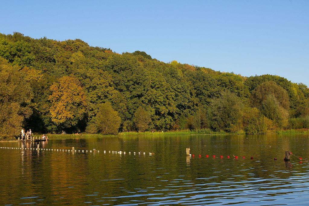
Deutsch: Badesteg und abgetrennte Nichtschwimmer-Zone im Wendebachstausee, südöstlich von Niedernjesa im Landschaftsschutzgebiet Leinebergland (Landkreis Göttingen), aufgenommen im Herbst 2011.
English: The small artifical lake of brook Wendebach in autumn 2011. It is south-east of the village Niedernjesa in the protected landscape area Leinebergland (so called the hilly region near river Leine) near Göttingen. |
| Date | |
| Source | Own work |
| Author | Lux 2016 |
| Camera location | | View this and other nearby images on: OpenStreetMap |
|---|
Licensing
[edit]
I, the copyright holder of this work, hereby publish it under the following license:
This file is licensed under the Creative Commons Attribution-Share Alike 4.0 International license.
- You are free:
- to share – to copy, distribute and transmit the work
- to remix – to adapt the work
- Under the following conditions:
- attribution – You must give appropriate credit, provide a link to the license, and indicate if changes were made. You may do so in any reasonable manner, but not in any way that suggests the licensor endorses you or your use.
- share alike – If you remix, transform, or build upon the material, you must distribute your contributions under the same or compatible license as the original.
This image was uploaded as part of Wiki Loves Earth 2016.
|
 |
[Category:Protected landscape areas in Landkreis Göttingen]]
File history
Click on a date/time to view the file as it appeared at that time.
| Date/Time | Thumbnail | Dimensions | User | Comment | |
|---|---|---|---|---|---|
| current | 21:53, 23 May 2016 | | 2,400 × 1,600 (2.8 MB) | Lux 2016 (talk | contribs) | User created page with UploadWizard |
You cannot overwrite this file.
File usage on Commons
The following 2 pages use this file: