File:Wegweiser Stobbertal 01.jpg
Jump to navigation
Jump to search

Size of this preview: 799 × 599 pixels. Other resolutions: 320 × 240 pixels | 640 × 480 pixels | 1,024 × 768 pixels | 1,280 × 960 pixels | 2,560 × 1,920 pixels | 3,533 × 2,650 pixels.
Original file (3,533 × 2,650 pixels, file size: 5.54 MB, MIME type: image/jpeg)
Captions
Captions
Add a one-line explanation of what this file represents
Summary
[edit]
| Description |
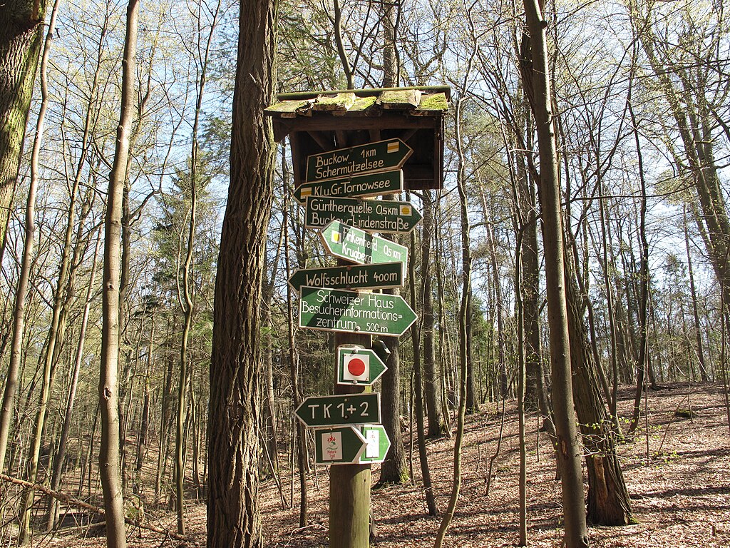
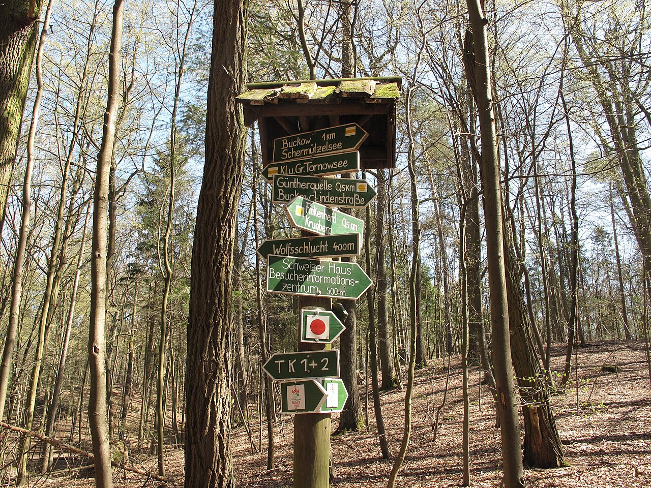
Deutsch: Wegweiser im Barnimhang zum Stobbertal im Naturpark Märkische Schweiz auf der Gemarkung von Pritzhagen, einem Ortsteil der Gemeinde Oberbarnim im Landkreis Märkisch-Oderland, Brandenburg.
English: Signs at the Barnim embankment to the Stobber-valley in the Märkische Schweiz Nature Park in the area of Pritzhagen, a village of the municipality Oberbarnim in the District Märkisch-Oderland, Brandenburg, Germany. |
| Date | |
| Source | Own work |
| Author | Lienhard Schulz |
Licensing
[edit]
I, the copyright holder of this work, hereby publish it under the following license:
This file is licensed under the Creative Commons Attribution-Share Alike 3.0 Unported license.
- You are free:
- to share – to copy, distribute and transmit the work
- to remix – to adapt the work
- Under the following conditions:
- attribution – You must give appropriate credit, provide a link to the license, and indicate if changes were made. You may do so in any reasonable manner, but not in any way that suggests the licensor endorses you or your use.
- share alike – If you remix, transform, or build upon the material, you must distribute your contributions under the same or compatible license as the original.
File history
Click on a date/time to view the file as it appeared at that time.
| Date/Time | Thumbnail | Dimensions | User | Comment | |
|---|---|---|---|---|---|
| current | 15:34, 20 July 2012 | | 3,533 × 2,650 (5.54 MB) | Lienhard Schulz (talk | contribs) | {{Information |Description= {{de|Wegweiser im Barnimhang zum Stobbertal im Naturpark Märkische Schweiz auf der Gemarkung von Pritzhagen, einem Ortsteil der Gemeinde [[:de:Oberbarnim|O... |
You cannot overwrite this file.
File usage on Commons
There are no pages that use this file.