File:Wegweiser Kümmelbacher.jpg
Jump to navigation
Jump to search
Size of this preview: 578 × 600 pixels. Other resolutions: 231 × 240 pixels | 463 × 480 pixels | 887 × 920 pixels.
Original file (887 × 920 pixels, file size: 435 KB, MIME type: image/jpeg)
Captions
Captions
Add a one-line explanation of what this file represents
Summary
[edit]
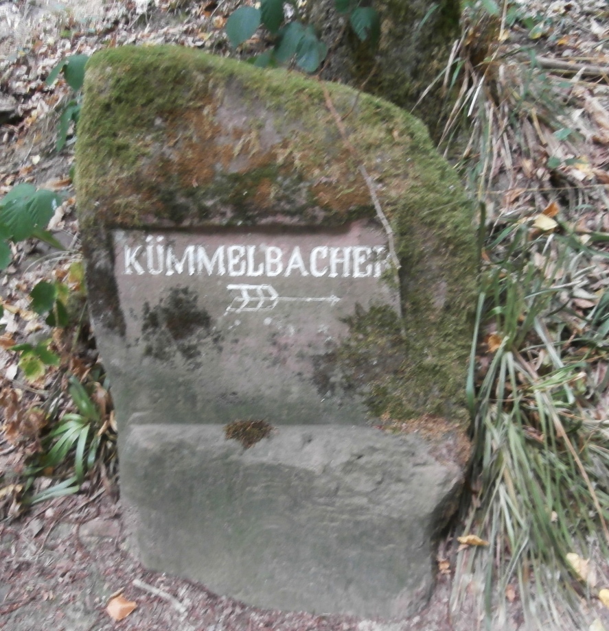
| Description | Wegweiser Kümmelbacher |
| Date | |
| Source | Own work |
| Author | Sarang |
| Object location | | View this and other nearby images on: OpenStreetMap |
|---|
Licensing
| I, the copyright holder of this work, release this work into the public domain. This applies worldwide. In some countries this may not be legally possible; if so: I grant anyone the right to use this work for any purpose, without any conditions, unless such conditions are required by law. |
File history
Click on a date/time to view the file as it appeared at that time.
| Date/Time | Thumbnail | Dimensions | User | Comment | |
|---|---|---|---|---|---|
| current | 13:15, 14 September 2022 | | 887 × 920 (435 KB) | Sarang (talk | contribs) | {{Inform |date = 2022-08-20 |auth = Sarang |lice = self |oloc = 49°23′25.9″N 08°46′24.4″E }} Category:Neckarsteig Etappe 1 Category:Inscribed stones am Königstuhl |
You cannot overwrite this file.
File usage on Commons
The following 2 pages use this file: