File:Webster-Ashburton treaty map-en.svg
Jump to navigation
Jump to search

Size of this PNG preview of this SVG file: 730 × 583 pixels. Other resolutions: 301 × 240 pixels | 601 × 480 pixels | 962 × 768 pixels | 1,280 × 1,022 pixels | 2,560 × 2,044 pixels.
Original file (SVG file, nominally 730 × 583 pixels, file size: 109 KB)
Captions
Captions
Add a one-line explanation of what this file represents
Summary
[edit]
| Description |
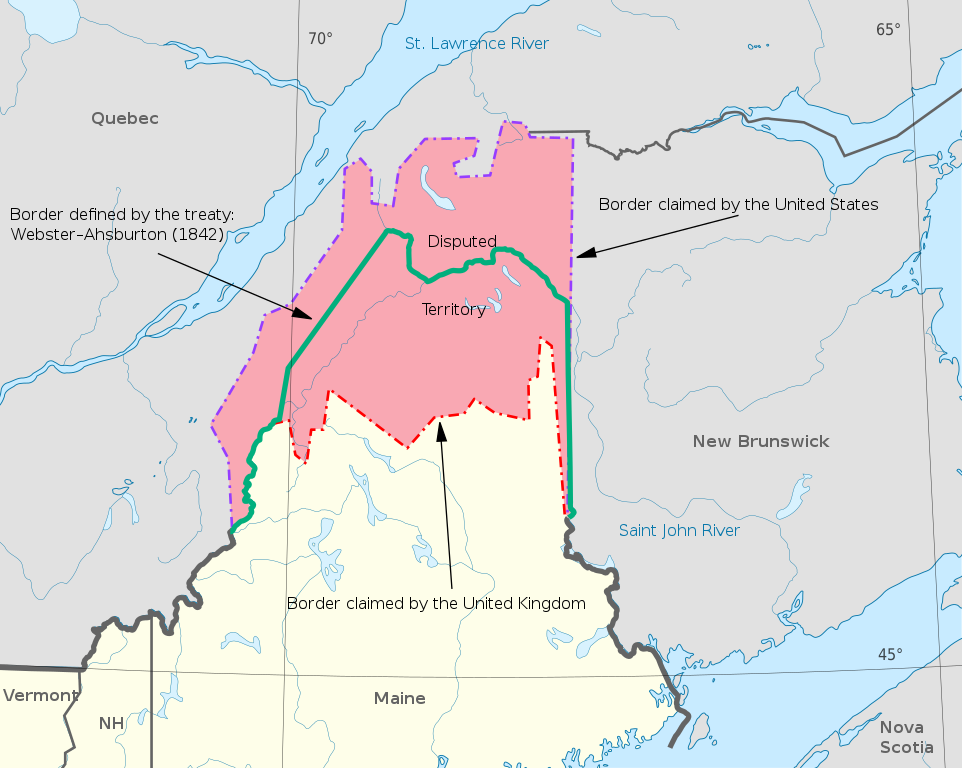
English: An English-language map representing the Webster–Ashburton treaty.
Español: Mapa que representa el Tratado de Webster-Ashburton. |
| Date | |
| Source |
This file was derived from: Webster-Ashburton treaty map-fr.svg  |
| Author |
|
| SVG development |
Licensing
[edit]
I, the copyright holder of this work, hereby publish it under the following license:
This file is licensed under the Creative Commons Attribution-Share Alike 4.0 International license.
- You are free:
- to share – to copy, distribute and transmit the work
- to remix – to adapt the work
- Under the following conditions:
- attribution – You must give appropriate credit, provide a link to the license, and indicate if changes were made. You may do so in any reasonable manner, but not in any way that suggests the licensor endorses you or your use.
- share alike – If you remix, transform, or build upon the material, you must distribute your contributions under the same or compatible license as the original.
File history
Click on a date/time to view the file as it appeared at that time.
| Date/Time | Thumbnail | Dimensions | User | Comment | |
|---|---|---|---|---|---|
| current | 20:36, 25 April 2021 | | 730 × 583 (109 KB) | Koavf (talk | contribs) | =={{int:filedesc}}== {{Information |description={{en|1=An English-language map representing the Webster–Ashburton treaty.}} {{es|1=Mapa que representa el Tratado de Webster-Ashburton.}} |date=2021-04-25 |source={{Derived from|Webster-Ashburton treaty map-fr.svg}} 250px |author=*Webster-Ashburton treaty map-fr.svg: {{u|Dr Wilson}} *{{derivative|by=Koavf}} |permission= |other versions= }} [[Category:Maps... |
You cannot overwrite this file.
File usage on Commons
The following page uses this file:
File usage on other wikis
The following other wikis use this file:
- Usage on de.wikipedia.org
- Usage on en.wikipedia.org
- Usage on he.wikipedia.org
- Usage on id.wikipedia.org
- Usage on ms.wikipedia.org
- Usage on nl.wikipedia.org
- Usage on uz.wikipedia.org
Metadata
Categories:
- Aroostook War
- English-language SVG maps
- SVG maps of Canada
- SVG maps of the United States
- Maps of borders of the United States
- Maps of borders of Canada
- Webster–Ashburton Treaty
- SVG maps of disputed territories in North America
- Maps showing 1842
- Maps of the history of Maine
- Canada–Maine border
- State borders of Maine