File:Watford, St Albans Road - geograph.org.uk - 982246.jpg
Jump to navigation
Jump to search
No higher resolution available.
Watford,_St_Albans_Road_-_geograph.org.uk_-_982246.jpg (640 × 480 pixels, file size: 79 KB, MIME type: image/jpeg)
Captions
Captions
Add a one-line explanation of what this file represents
Summary
[edit]
| Description |
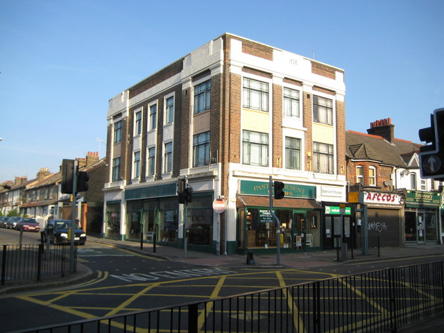
English: Watford: St Albans Road Although it is out of character with the Victorian housing surrounding it this building, which is at the junction of Lowestoft Road with St Albans Road, has rather pleasing proportions. It dates from 1928 according to the carving high up on the parapet wall. It has been occupied since 2004 by Past & Present Woods http://www.pastandpresentwoods.co.uk/ |
| Date | |
| Source | From geograph.org.uk |
| Author | Nigel Cox |
| Attribution (required by the license) | Nigel Cox / Watford: St Albans Road / |
| Camera location | | View this and other nearby images on: OpenStreetMap |
|---|
_heading:315.00&language=en)
| Object location | | View this and other nearby images on: OpenStreetMap |
|---|
_heading:315.00&language=en)
Licensing
[edit]

|
This image was taken from the Geograph project collection. See this photograph's page on the Geograph website for the photographer's contact details. The copyright on this image is owned by Nigel Cox and is licensed for reuse under the Creative Commons Attribution-ShareAlike 2.0 license.
|
This file is licensed under the Creative Commons Attribution-Share Alike 2.0 Generic license.
Attribution: Nigel Cox
- You are free:
- to share – to copy, distribute and transmit the work
- to remix – to adapt the work
- Under the following conditions:
- attribution – You must give appropriate credit, provide a link to the license, and indicate if changes were made. You may do so in any reasonable manner, but not in any way that suggests the licensor endorses you or your use.
- share alike – If you remix, transform, or build upon the material, you must distribute your contributions under the same or compatible license as the original.
File history
Click on a date/time to view the file as it appeared at that time.
| Date/Time | Thumbnail | Dimensions | User | Comment | |
|---|---|---|---|---|---|
| current | 02:25, 23 February 2011 | | 640 × 480 (79 KB) | GeographBot (talk | contribs) | == {{int:filedesc}} == {{Information |description={{en|1=Watford: St Albans Road Although it is out of character with the Victorian housing surrounding it this building, which is at the junction of Lowestoft Road with St Albans Road, has rather pleasing p |
You cannot overwrite this file.
File usage on Commons
There are no pages that use this file.