File:Water sunglasses kayaker.jpg
From Wikimedia Commons, the free media repository
Jump to navigation
Jump to search
![File:Water sunglasses kayaker.jpg](https://upload.wikimedia.org/wikipedia/commons/thumb/c/cc/Water_sunglasses_kayaker.jpg/800px-Water_sunglasses_kayaker.jpg?20090922075014)
Size of this preview: 800 × 530 pixels. Other resolutions: 320 × 212 pixels | 640 × 424 pixels | 1,024 × 679 pixels | 1,280 × 848 pixels | 2,312 × 1,532 pixels.
Original file (2,312 × 1,532 pixels, file size: 442 KB, MIME type: image/jpeg)
File information
Structured data
Captions
Captions
Add a one-line explanation of what this file represents
DescriptionWater sunglasses kayaker.jpg |
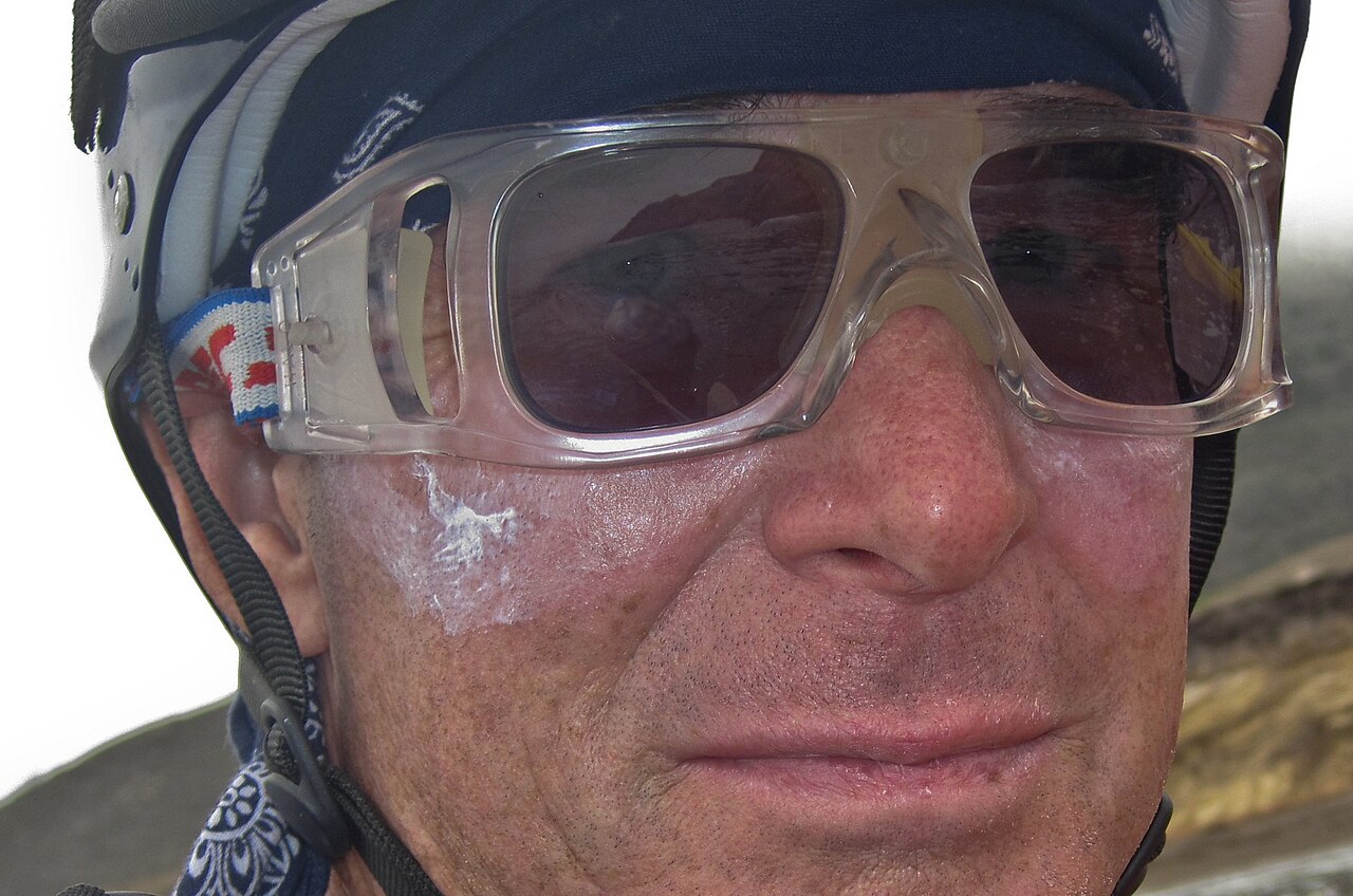
English: Sunglasses usable for watersports: sturdy, secured with a strap around the neck, with a nose cushion. Self-portrait by Michael "Mike" L. Baird, kayaking south of the put-in at Spooner's Cove in Montana de Oro (MdO) State Park, "using [a] little rugged Canon D10 waterproof camera (...), shooting JPGs mostly on Canon's iContrast (fill-light enhancement) setting, minus 1/3rd stop, and using flash for close-ups." (cited from the original description on flickr) |
||
Date | |||
Source | originally posted to Flickr as Ron Gabel and Mike Baird kayak paddle the coastline for over three hours and about six miles round-trip, south of the put-in at Spooner's Cove in Montana de Oro (MdO) State Park | ||
Author | Michael "Mike" L. Baird, mike [at} mikebaird d o t com, flickr.bairdphotos.com | ||
Permission (Reusing this file) |
![]() ![]() This file is licensed under the Creative Commons Attribution 2.0 Generic license. Attribution: "Mike" Michael L. Baird
|
File history
Click on a date/time to view the file as it appeared at that time.
Date/Time | Thumbnail | Dimensions | User | Comment | |
---|---|---|---|---|---|
current | 07:50, 22 September 2009 | ![]() | 2,312 × 1,532 (442 KB) | Ibn Battuta (talk | contribs) | cropped, rotated, edited |
01:22, 22 September 2009 | ![]() | 4,000 × 3,000 (4.69 MB) | Flickr upload bot (talk | contribs) | Uploaded from http://flickr.com/photo/72825507@N00/3835192409 using Flickr upload bot |
You cannot overwrite this file.
File usage on Commons
There are no pages that use this file.
File usage on other wikis
The following other wikis use this file:
- Usage on en.wikipedia.org
- Usage on hi.wikipedia.org
- Usage on ro.wikipedia.org
- Usage on ru.wikipedia.org
- Usage on uk.wikipedia.org
Metadata
This file contains additional information such as Exif metadata which may have been added by the digital camera, scanner, or software program used to create or digitize it. If the file has been modified from its original state, some details such as the timestamp may not fully reflect those of the original file. The timestamp is only as accurate as the clock in the camera, and it may be completely wrong.
Image title | Mike Baird in my Orange Surf Kayak. Ron Gabel and Mike Baird kayak paddle the coastline for over three hours and about six miles round-trip, south of the put-in at Spooner's Cove in Montana de Oro (MdO) State Park near Los Osos, CA 18 August 2009. On the way out we passed by MdO bluff trail and the Coon Creek outlet area about a quarter-mile out due to the breaking waves (~5-7 foot swell). We then paddled to near-shore when we got past Point Buchon on PG&E property (the nuclear power plant property extending to Avila and Port San Luis, CA). We were then able to explore numerous pristine arches, caves, and jetties during predictable swells and good weather. This is isolated largely untouched clean clear water-wilderness, with many sea birds, some harbor seals, and lots of healthy floating Giant Kelp beds that often impeded making headway, but served to tame the waves. On the way back we followed the coastline all the way back to Point Buchon. We were able to paddle into a cave that then opened up into the base of a famous MdO sinkhole about 100 feet wide and 75 feet deep. I wished I had my SLR with 15mm fisheye lens to capture that scene. After exploring the numerous caves (mostly on the south side) near the Coon Creek outlet (which forms the property line between State Parks to the north, and the PG&E property to the south) we once again had to paddle a bit further out to avoid swells that were closing out. Photo or Video by Michael "Mike" L. Baird, mike [at} mikebaird d o t com, flickr.bairdphotos.com; using the little rugged Canon D10 waterproof camera (highly recommended by the way - just keep the glass lens cover clean or you will get blurry shots), shooting JPGs mostly on Canon's iContrast (fill-light enhancement) setting, minus 1/3rd stop, and using flash for close-ups. I erred on the side of publishing way too many low-quality photos of this event because I thought some people would like them for their documentation value. |
---|---|
Camera manufacturer | Canon |
Camera model | Canon PowerShot D10 |
Author | Michael "Mike" L. Baird |
Copyright holder | (C) Michael "Mike" L. Baird bairdphotos.com |
Exposure time | 1/250 sec (0.004) |
F-number | f/3.2 |
ISO speed rating | 80 |
Date and time of data generation | 10:12, 18 August 2009 |
Lens focal length | 7.23 mm |
Horizontal resolution | 150 dpi |
Vertical resolution | 150 dpi |
File change date and time | 20:38, 18 August 2009 |
Exif version | 2.21 |
Date and time of digitizing | 10:12, 18 August 2009 |
APEX shutter speed | 7.965784 |
APEX aperture | 3.356144 |
Maximum land aperture | 3.34375 APEX (f/3.19) |
Metering mode | Pattern |
Flash | Flash fired, compulsory flash firing, red-eye reduction mode |
Focal plane X resolution | 16,460.905349794 |
Focal plane Y resolution | 16,483.516483516 |
Focal plane resolution unit | inches |
Sensing method | One-chip color area sensor |
Custom image processing | Normal process |
Exposure mode | Manual exposure |
White balance | Auto white balance |
Digital zoom ratio | 1 |
Scene capture type | Standard |