File:Water reflection of mountains and hut in a paddy field with blue sky in Vang Vieng, Laos.jpg
Jump to navigation
Jump to search

Size of this preview: 800 × 500 pixels. Other resolutions: 320 × 200 pixels | 640 × 400 pixels | 1,024 × 640 pixels | 1,280 × 800 pixels | 2,560 × 1,600 pixels | 6,326 × 3,954 pixels.
Original file (6,326 × 3,954 pixels, file size: 10.2 MB, MIME type: image/jpeg)
Captions
Captions
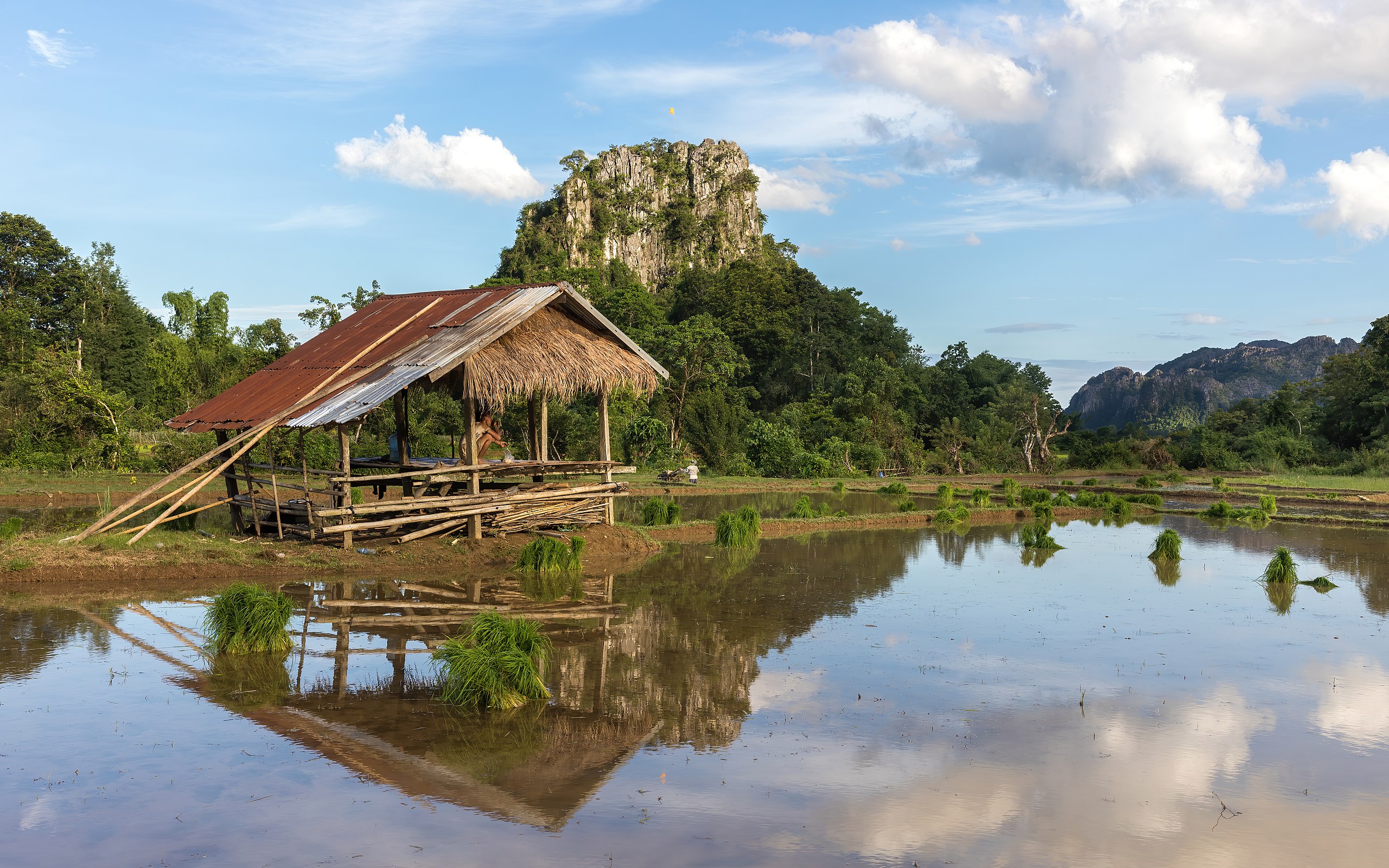
Water reflection of mountains and hut in a paddy field with blue sky in Vang Vieng, Laos
Summary
[edit]
| Description |
English: Water reflection of mountains, wooden hut and green rice sheaves scattered in a paddy field, with clouds and blue sky, a sunny day during the monsoon, in the countryside of Vang Vieng in Laos.
Français : Reflet dans l'eau de montagnes, d'un abris en bois et de gerbes de riz vert éparpillées dans une rizière, avec nuages et ciel bleu, un jour ensoleillé durant la mousson, dans la campagne de Vang Vieng au Laos. |
| Date | |
| Source | Own work |
| Author | Basile Morin |
| Camera location | | View this and other nearby images on: OpenStreetMap |
|---|
|
Licensing
[edit]
I, the copyright holder of this work, hereby publish it under the following license:
This file is licensed under the Creative Commons Attribution-Share Alike 4.0 International license.
- You are free:
- to share – to copy, distribute and transmit the work
- to remix – to adapt the work
- Under the following conditions:
- attribution – You must give appropriate credit, provide a link to the license, and indicate if changes were made. You may do so in any reasonable manner, but not in any way that suggests the licensor endorses you or your use.
- share alike – If you remix, transform, or build upon the material, you must distribute your contributions under the same or compatible license as the original.
File history
Click on a date/time to view the file as it appeared at that time.
| Date/Time | Thumbnail | Dimensions | User | Comment | |
|---|---|---|---|---|---|
| current | 10:25, 27 March 2021 | | 6,326 × 3,954 (10.2 MB) | Basile Morin (talk | contribs) | Uploaded own work with UploadWizard |
You cannot overwrite this file.
File usage on Commons
The following 16 pages use this file:
- User:Tomer T
- User talk:Basile Morin/Archive 8 (2021)
- User talk:Tomer T/Archive 4
- Commons:Featured picture candidates/File:Water reflection of mountains and hut in a paddy field with blue sky in Vang Vieng, Laos.jpg
- Commons:Featured picture candidates/Log/July 2021
- Commons:Featured pictures/Places/Agriculture
- Commons:Featured pictures/chronological/2021-B
- Commons:Featured pictures/chronological/July 2021
- Commons:Picture of the Year/2021/Candidates
- Commons:Picture of the Year/2021/R1/Gallery/2021-B
- Commons:Picture of the Year/2021/R1/Gallery/ALL
- Commons:Picture of the Year/2021/R1/Gallery/M07
- Commons:Picture of the Year/2021/R1/Gallery/Waters
- Commons:Picture of the Year/2021/R1/v/Water reflection of mountains and hut in a paddy field with blue sky in Vang Vieng, Laos.jpg
- Commons:Quality images/Subject/Places/Mixed/Archive4
- Commons:Quality images candidates/Archives March 31 2021
File usage on other wikis
The following other wikis use this file:
- Usage on fr.wikipedia.org
Metadata
Categories:
- Landscapes of Vang Vieng
- Paddy fields in Laos
- Mountains of Vientiane Province
- Countryside in Laos
- Monsoon in Laos
- Water reflections of clouds in Laos
- Water reflections of mountains in Laos
- Water reflections of buildings
- Water reflections of plants
- Clouds and blue sky in Laos
- Huts in Laos
- Rice planting in Laos
- Karst topography in Laos