File:Water monitoring station - geograph.org.uk - 1447379.jpg
Jump to navigation
Jump to search
Size of this preview: 449 × 600 pixels. Other resolutions: 179 × 240 pixels | 479 × 640 pixels.
Original file (479 × 640 pixels, file size: 232 KB, MIME type: image/jpeg)
Captions
Captions
Add a one-line explanation of what this file represents
| Description |
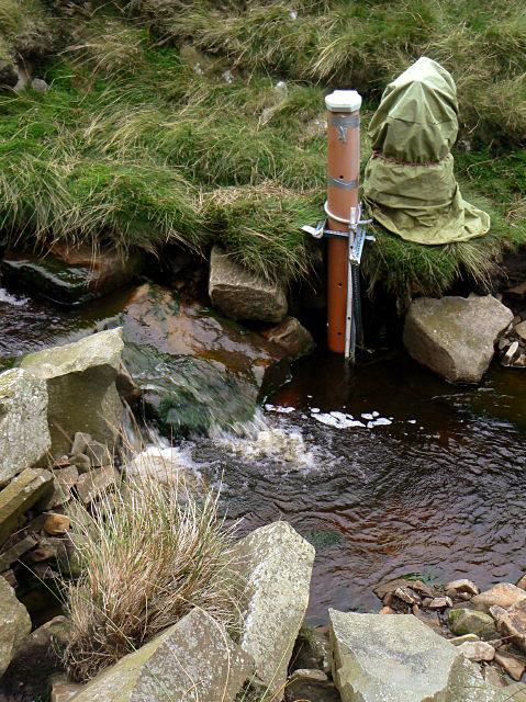
English: Water monitoring station This is part of a project run by the University of Nottingham in conjunction with Severn Trent Water. The stream is part of the Derwent Valley Reservoirs catchment. |
||
| Date | |||
| Source | From geograph.org.uk | ||
| Author | Alan Murray-Rust | ||
| Permission (Reusing this file) |
This file is licensed under the Creative Commons Attribution-Share Alike 2.0 Generic license. Attribution: Alan Murray-Rust
|
||
| Attribution (required by the license) | Alan Murray-Rust / Water monitoring station / | ||

| Camera location | | View this and other nearby images on: OpenStreetMap |
|---|
_heading:90.00&language=en)
| Object location | | View this and other nearby images on: OpenStreetMap |
|---|
_heading:90.00&language=en)
File history
Click on a date/time to view the file as it appeared at that time.
| Date/Time | Thumbnail | Dimensions | User | Comment | |
|---|---|---|---|---|---|
| current | 03:38, 2 March 2011 | | 479 × 640 (232 KB) | GeographBot (talk | contribs) | == {{int:filedesc}} == {{Information |description={{en|1=Water monitoring station This is part of a project run by the University of Nottingham in conjunction with Severn Trent Water. The stream is part of the Derwent Valley Reservoirs catchment.}} |date= |
You cannot overwrite this file.
File usage on Commons
There are no pages that use this file.
File usage on other wikis
The following other wikis use this file:
- Usage on de.wikipedia.org