File:Watarase Retarding Basin, GSI 2021.jpg
Jump to navigation
Jump to search
Size of this preview: 600 × 600 pixels. Other resolutions: 240 × 240 pixels | 480 × 480 pixels | 768 × 768 pixels | 1,024 × 1,024 pixels | 2,500 × 2,500 pixels.
Original file (2,500 × 2,500 pixels, file size: 2.18 MB, MIME type: image/jpeg)
Captions
Captions
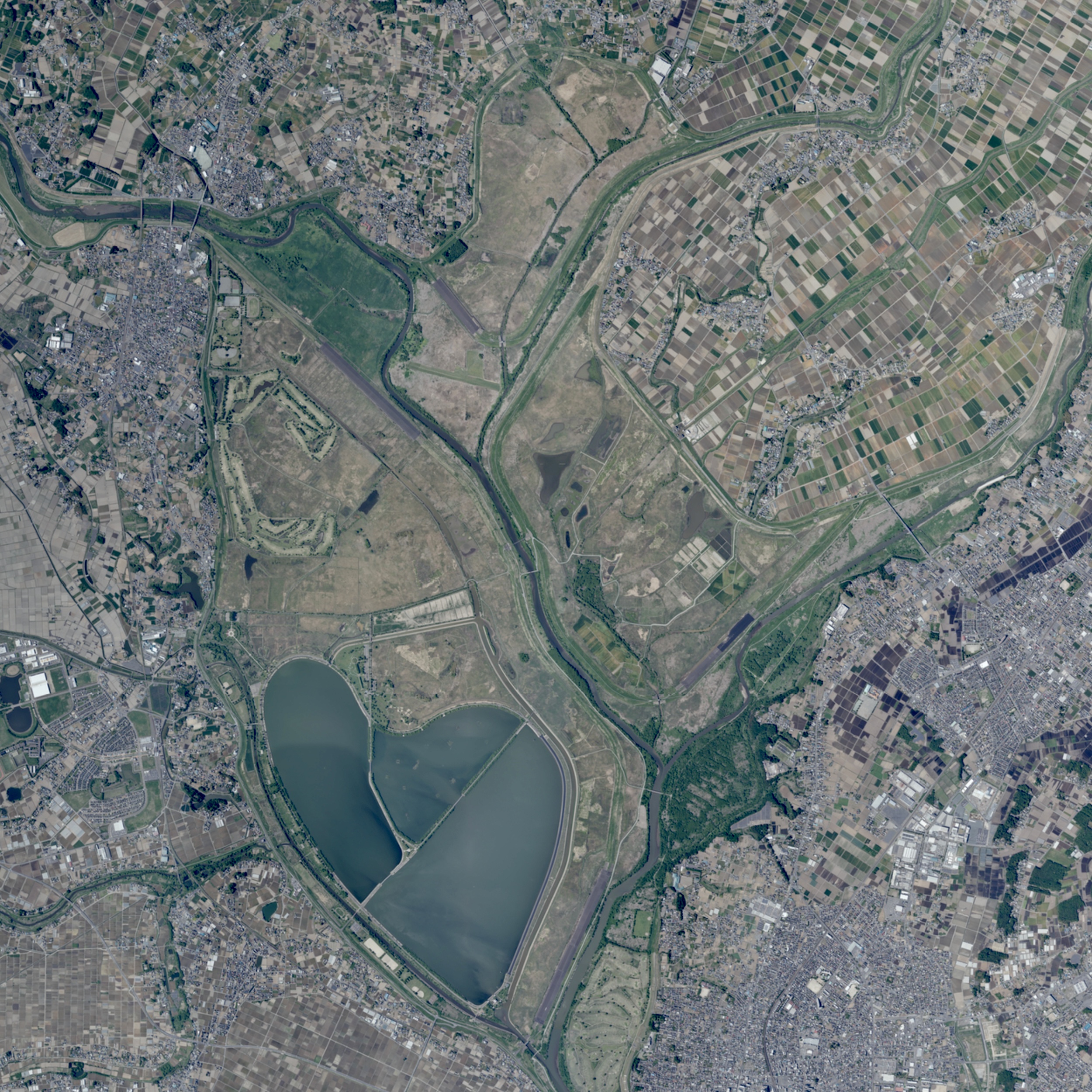
Watarase Retarding Basin
Summary
[edit]
| Description |
日本語: 関東地方中央部に所在する渡良瀬遊水地の航空写真。上方が北。2枚のスクリーンショットを合成、色調を修整している。
|
| Date | |
| Source | 地理院地図 (https://maps.gsi.go.jp/#14/36.238251/139.686699/&ls=nendophoto2021%7Cpp&disp=11&lcd=pp&vs=c0g1j0h0k0l0u0t0z0r0s0m0f1) |
| Author | 国土地理院 (Geospatial Information Authority of Japan) |
| Camera location | | View this and other nearby images on: OpenStreetMap |
|---|
Licensing
[edit]

|
The copyright holder of this file, Geospatial Information Authority of Japan, allows anyone to use it for any purpose, provided that the copyright holder is properly attributed. Redistribution, derivative work, commercial use, and all other use is permitted. |
Attribution:
Copyright © Geospatial Information Authority of Japan
|
 |
This image is copyrighted by Geospatial Information Authority of Japan. For terms of use, see GSI Contents Terms of Use (in Japanese) and "2. Items other than basic survey results that can be used only with a mention of the source (基本測量成果以外で出典の記載のみで利用可能なもの)" in GSI Tiles (in Japanese). When you display this image on an article, please include "Geospatial Information Authority of Japan" or "GSI Tiles" in the description.
|
File history
Click on a date/time to view the file as it appeared at that time.
| Date/Time | Thumbnail | Dimensions | User | Comment | |
|---|---|---|---|---|---|
| current | 12:01, 9 December 2022 | | 2,500 × 2,500 (2.18 MB) | Uraniwa (talk | contribs) | Uploaded a work by 国土地理院 (Geospatial Information Authority of Japan) from 地理院地図 (https://maps.gsi.go.jp/) with UploadWizard |
You cannot overwrite this file.
File usage on Commons
The following 2 pages use this file:
- User:Uraniwa
- File:Watarase Retarding Basin, GSI 2019.jpg (file redirect)