File:Warka (gmina) location map.png
Jump to navigation
Jump to search
Size of this preview: 529 × 599 pixels. Other resolutions: 212 × 240 pixels | 424 × 480 pixels | 802 × 908 pixels.
Original file (802 × 908 pixels, file size: 165 KB, MIME type: image/png)
Captions
Captions
Add a one-line explanation of what this file represents
| Description |
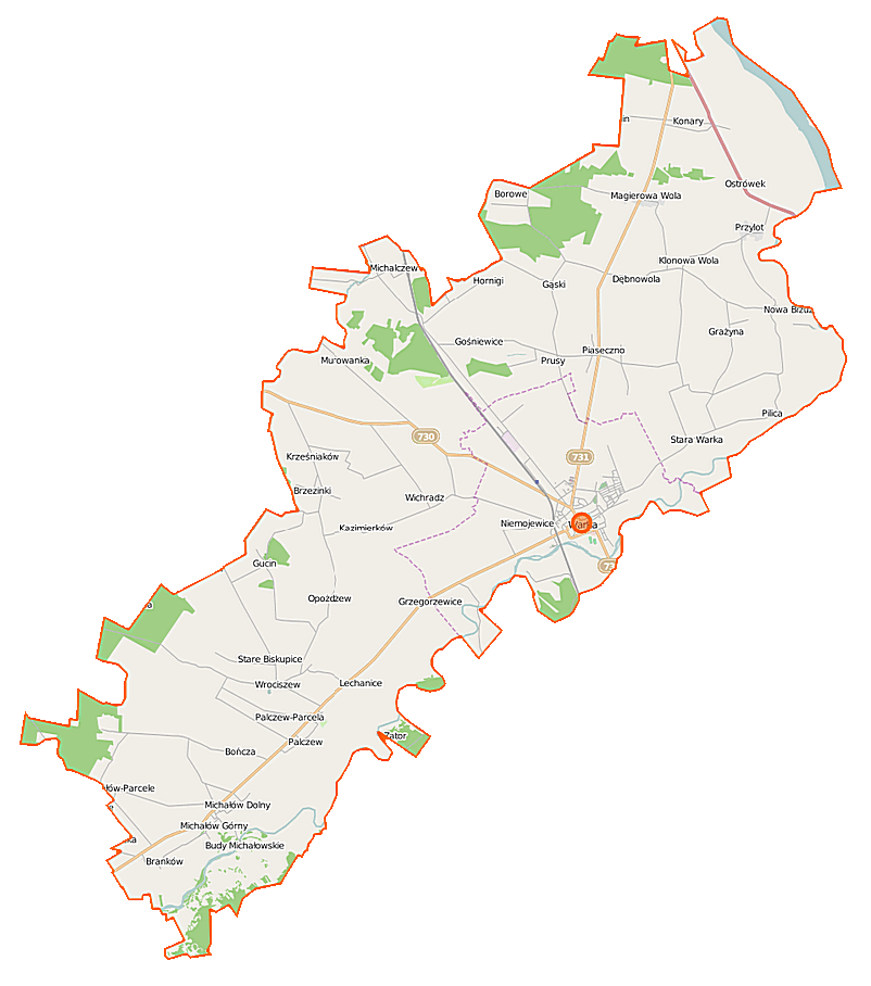
Polski: Mapa gminy Warka, Polska
English: Map of Gmina Warka, Poland |
|||||||||
| Date | ||||||||||
| Source | You may find a page on the OpenStreetMap wiki page for Warka (gmina) | |||||||||
| Creator |
OpenStreetMap contributors OpenStreetMap contributors |
|||||||||
| Permission (Reusing this file) |
OpenStreetMap data is available under the Open Database License (details). Map tiles are licensed under the Creative Commons Attribution-ShareAlike 2.0 license (CC-BY-SA 2.0).
This file is licensed under the Creative Commons Attribution-Share Alike 2.0 Generic license.
|
|||||||||
| Geotemporal data | ||||||||||
| Bounding box |
|
|||||||||
| Georeferencing | If inappropriate please set warp_status = skip to hide. | |||||||||
File history
Click on a date/time to view the file as it appeared at that time.
| Date/Time | Thumbnail | Dimensions | User | Comment | |
|---|---|---|---|---|---|
| current | 10:15, 12 September 2014 | | 802 × 908 (165 KB) | VanWiel (talk | contribs) | |
| 07:12, 24 July 2014 |  | 802 × 908 (229 KB) | VanWiel (talk | contribs) | {{OpenStreetMap | name = Warka (gmina) | location = Warka (gmina) | description = {{pl|Mapa gminy Warka, Polska}} {{en|Map of Gmina Warka, Poland}} | top = 51.9057 | left = 20.9674 | right... |
You cannot overwrite this file.
File usage on Commons
There are no pages that use this file.
File usage on other wikis
The following other wikis use this file:
- Usage on de.wikipedia.org
- Usage on pl.wikipedia.org
- Warka
- Warka (gmina)
- Bitwa pod Warką
- Branków
- Budy Opożdżewskie
- Grażyna (województwo mazowieckie)
- Hornigi
- Klonowa Wola
- Krześniaków
- Kazimierków
- Lechanice
- Magierowa Wola
- Michalczew
- Michałów Dolny
- Michałów Górny
- Michałów-Parcele
- Niwy Ostrołęckie
- Nowa Ostrołęka
- Nowe Grzegorzewice
- Opożdżew
- Palczew
- Palczew-Parcela
- Przylot
- Stara Warka
- Wichradz
- Wola Palczewska
- Wrociszew
- Bończa (powiat grójecki)
- Kalina (województwo mazowieckie)
- Nowe Biskupice (województwo mazowieckie)
- Pilica (województwo mazowieckie)
- Podgórzyce (województwo mazowieckie)
- Stare Biskupice (województwo mazowieckie)
- Zastruże (województwo mazowieckie)
- Brzezinki (powiat grójecki)
- Budy Michałowskie (powiat grójecki)
- Gąski (powiat grójecki)
- Grzegorzewice (powiat grójecki)
- Gucin (powiat grójecki)
- Konary (powiat grójecki)
- Laski (powiat grójecki)
- Murowanka (powiat grójecki)
- Nowa Wieś (powiat grójecki)
- Ostrołęka (powiat grójecki)
- Ostrówek (powiat grójecki)
- Piaseczno (powiat grójecki)
- Prusy (powiat grójecki)
- Borowe (gmina Warka)
- Dębnowola (gmina Warka)
View more global usage of this file.
_location_map.png)
_location_map.png&oldid=497245707)