File:Wanekreek detail-Map Suriname 1860-1879-part 5.jpg
Jump to navigation
Jump to search

Size of this preview: 800 × 533 pixels. Other resolutions: 320 × 213 pixels | 640 × 427 pixels | 1,024 × 683 pixels | 1,227 × 818 pixels.
Original file (1,227 × 818 pixels, file size: 252 KB, MIME type: image/jpeg)
Captions
Captions
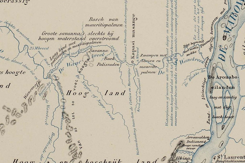
Wanekreek detail of the 1860-1879 map of Suriname
Summary
[edit]| Description |
English: Wanekreek detail of the 1860-1879 map of Suriname showing the connection between the Cottica River and the Maroni River |
| Date | |
| Source | https://resolver.kb.nl/resolve?urn=urn:gvn:SURI01:KAARTENZL-29-01-11 |
| Author | Johannes Cateau van Rosevelt |
| Other versions |

Licensing
[edit]
|
This work is in the public domain in its country of origin and other countries and areas where the copyright term is the author's life plus 70 years or fewer. This work is in the public domain in the United States because it was published (or registered with the U.S. Copyright Office) before January 1, 1929. | |
| This file has been identified as being free of known restrictions under copyright law, including all related and neighboring rights. | |
File history
Click on a date/time to view the file as it appeared at that time.
| Date/Time | Thumbnail | Dimensions | User | Comment | |
|---|---|---|---|---|---|
| current | 09:21, 17 January 2022 | | 1,227 × 818 (252 KB) | KittenKlub (talk | contribs) | Uploaded a work by Johannes Cateau van Rosevelt from https://resolver.kb.nl/resolve?urn=urn:gvn:SURI01:KAARTENZL-29-01-11 with UploadWizard |
You cannot overwrite this file.
File usage on Commons
There are no pages that use this file.
File usage on other wikis
The following other wikis use this file:
- Usage on en.wikipedia.org
- Usage on nl.wikipedia.org
- Usage on sh.wikipedia.org