File:Walksches Haus - Kirche St. Michael - panoramio.jpg
Jump to navigation
Jump to search

Size of this preview: 800 × 407 pixels. Other resolutions: 320 × 163 pixels | 640 × 325 pixels | 1,024 × 520 pixels | 1,700 × 864 pixels.
Original file (1,700 × 864 pixels, file size: 286 KB, MIME type: image/jpeg)
Captions
Captions
Add a one-line explanation of what this file represents
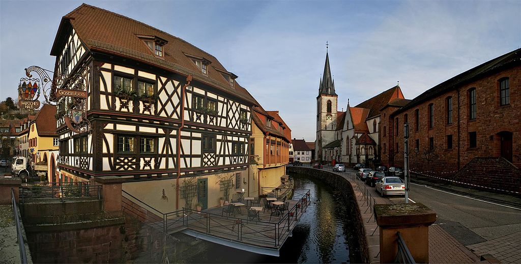
| Description | Walksches Haus + Kirche St. Michael | ||
| Date | 5 March 2009 (original upload date) | ||
| Source | https://web.archive.org/web/20161012121623/http://www.panoramio.com/photo/19704848 | ||
| Author | Augenstein | ||
| Permission (Reusing this file) |
This file is licensed under the Creative Commons Attribution-Share Alike 3.0 Unported license. Attribution: Augenstein
|
| Camera location | | View this and other nearby images on: OpenStreetMap |
|---|
File history
Click on a date/time to view the file as it appeared at that time.
| Date/Time | Thumbnail | Dimensions | User | Comment | |
|---|---|---|---|---|---|
| current | 15:47, 19 October 2016 | | 1,700 × 864 (286 KB) | Panoramio upload bot (talk | contribs) | {{Information |description=Walksches Haus + Kirche St. Michael |date={{Original upload date|2009-03-05}} |source=http://www.panoramio.com/photo/19704848 |author=[http://www.panoramio.com/user/1327077?with_photo_id=19704848 Augenstein] |permission={{cc-... |
You cannot overwrite this file.
File usage on Commons
The following page uses this file:
File usage on other wikis
The following other wikis use this file:
- Usage on ca.wikipedia.org
- Usage on ceb.wikipedia.org
- Usage on ce.wikipedia.org
- Usage on de.wikivoyage.org
- Usage on es.wikipedia.org
- Usage on eu.wikipedia.org
- Usage on fr.wikipedia.org
- Usage on hu.wikipedia.org
- Usage on hy.wikipedia.org
- Usage on ku.wikipedia.org
- Usage on lld.wikipedia.org
- Usage on lmo.wikipedia.org
- Usage on pl.wikipedia.org
- Usage on ro.wikipedia.org
- Usage on ru.wikipedia.org
- Usage on sr.wikipedia.org
- Usage on tt.wikipedia.org
- Usage on uz.wikipedia.org
- Usage on www.wikidata.org
- Usage on zh.wikipedia.org