File:Wales Swansea locator map.svg
Jump to navigation
Jump to search

Size of this PNG preview of this SVG file: 502 × 600 pixels. Other resolutions: 201 × 240 pixels | 402 × 480 pixels | 643 × 768 pixels | 857 × 1,024 pixels | 1,714 × 2,048 pixels | 1,047 × 1,251 pixels.
Original file (SVG file, nominally 1,047 × 1,251 pixels, file size: 147 KB)
Captions
Captions
Add a one-line explanation of what this file represents
Summary
[edit]
| Description |
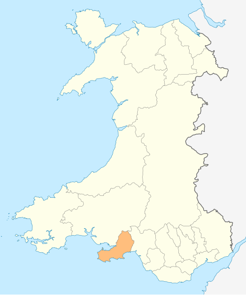
Deutsch: Lagekarte von Swansea in Wales
English: Locator map of Swansea in Wales |
| Date | |
| Source | Own work |
| Author | NordNordWest |
| Permission (Reusing this file) |
I, the copyright holder of this work, hereby publish it under the following license: This file is licensed under the Creative Commons Attribution-Share Alike 3.0 Unported license.
|

|
This map has been made or improved in the German Kartenwerkstatt (Map Lab). You can propose maps to improve as well.
|
File history
Click on a date/time to view the file as it appeared at that time.
| Date/Time | Thumbnail | Dimensions | User | Comment | |
|---|---|---|---|---|---|
| current | 18:58, 4 May 2010 | | 1,047 × 1,251 (147 KB) | NordNordWest (talk | contribs) | {{int:filedesc}} {{Information |Description= {{de|Lagekarte von Swansea in Wales}} {{en|Locator map of Swansea in Wales}} |Source={{Own}} |Date=2010-05-04 |Author={{U|NordNordWest}} |Permission={{self|cc-by-sa-3.0}} |other_versions= }} {{Kartenwerkstatt} |
You cannot overwrite this file.
File usage on Commons
The following 24 pages use this file:
- Template:Swanseayear
- Category:1998 in Swansea
- Category:2003 in Swansea
- Category:2004 in Swansea
- Category:2005 in Swansea
- Category:2006 in Swansea
- Category:2007 in Swansea
- Category:2008 in Swansea
- Category:2009 in Swansea
- Category:2010 in Swansea
- Category:2011 in Swansea
- Category:2012 in Swansea
- Category:2013 in Swansea
- Category:2014 in Swansea
- Category:2015 in Swansea
- Category:2016 in Swansea
- Category:2017 in Swansea
- Category:2018 in Swansea
- Category:2019 in Swansea
- Category:2020 in Swansea
- Category:2021 in Swansea
- Category:2022 in Swansea
- Category:2023 in Swansea
- Category:2024 in Swansea
File usage on other wikis
The following other wikis use this file:
- Usage on en.wikipedia.org
- Swansea
- Gower (electoral ward)
- M4 motorway
- Mumbles
- A483 road
- A48 road
- Loughor
- Gorseinon
- Oystermouth
- Rhossili
- Heart of Wales line
- Swansea West (UK Parliament constituency)
- Slade Bay
- Gower (UK Parliament constituency)
- Swansea East (UK Parliament constituency)
- River Tawe
- History of Swansea
- Neath and Tennant Canal
- Swansea railway station
- Uplands, Swansea
- Clase
- Birchgrove, Swansea
- Morriston
- Sketty (electoral ward)
- Townhill, Swansea
- Dunvant
- Newton, Swansea
- Llansamlet (electoral ward)
- St Thomas, Swansea
- Cockett
- Landore (electoral ward)
- Port Tennant
- Bon-y-maen
- Waunarlwydd
- Gowerton
- Killay, Swansea
- Penlan
- Penllergaer
- Manselton
- Bishopston, Swansea
- Cwmbwrla
- Mynydd-bach (electoral ward)
- Killay South
- Mawr
- Penderry
- Pennard (electoral ward)
- Clydach, Swansea
- Fairwood, Swansea
- Killay North
- Llangyfelach
View more global usage of this file.