File:WVBT Rural Radio Network broadcast area map.png
Jump to navigation
Jump to search
No higher resolution available.
WVBT_Rural_Radio_Network_broadcast_area_map.png (303 × 261 pixels, file size: 12 KB, MIME type: image/png)
Captions
Captions
Add a one-line explanation of what this file represents
Summary
[edit]
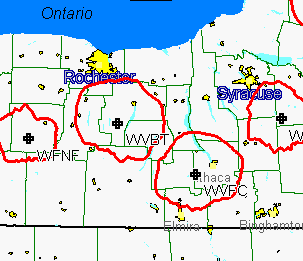
| Description | Cropped to show only w:Bristol Mountain transmitter location broadcast area. |
| Date | (UTC) |
| Source | Cropped from w:File:Rrn 60 map 1.PNG |
| Author | Mark Humphrey |
Licensing
[edit]
This file is licensed under the Creative Commons Attribution-Share Alike 3.0 Unported license.
- You are free:
- to share – to copy, distribute and transmit the work
- to remix – to adapt the work
- Under the following conditions:
- attribution – You must give appropriate credit, provide a link to the license, and indicate if changes were made. You may do so in any reasonable manner, but not in any way that suggests the licensor endorses you or your use.
- share alike – If you remix, transform, or build upon the material, you must distribute your contributions under the same or compatible license as the original.
Original upload log
[edit]
The original description page was here. All following user names refer to en.wikipedia.
| Date/Time | Dimensions | User | Comment |
|---|---|---|---|
| 2010-11-26 21:19:04 | 303× 261× | B137 | {{Information |Description = Cropped from [[:File:Rrn 60 map 1.PNG]] |Source = http://en.wikipedia.org/wiki/File:Rrn_60_map_1.PNG |Date = ~~~~~ |Author = Mark Humphrey |Permission = |other_versions = }} |
File history
Click on a date/time to view the file as it appeared at that time.
| Date/Time | Thumbnail | Dimensions | User | Comment | |
|---|---|---|---|---|---|
| current | 06:28, 3 January 2017 | | 303 × 261 (12 KB) | FastilyClone (talk | contribs) | Transferred from en.wikipedia (MTC!) |
You cannot overwrite this file.
File usage on Commons
There are no pages that use this file.
File usage on other wikis
The following other wikis use this file:
- Usage on en.wikipedia.org