File:Volyn province location map.svg
Jump to navigation
Jump to search

Size of this PNG preview of this SVG file: 533 × 507 pixels. Other resolutions: 252 × 240 pixels | 505 × 480 pixels | 807 × 768 pixels | 1,077 × 1,024 pixels | 2,153 × 2,048 pixels.
Original file (SVG file, nominally 533 × 507 pixels, file size: 130 KB)
Captions
Captions
Add a one-line explanation of what this file represents
Summary
[edit]
| Description |
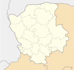
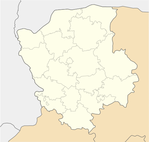
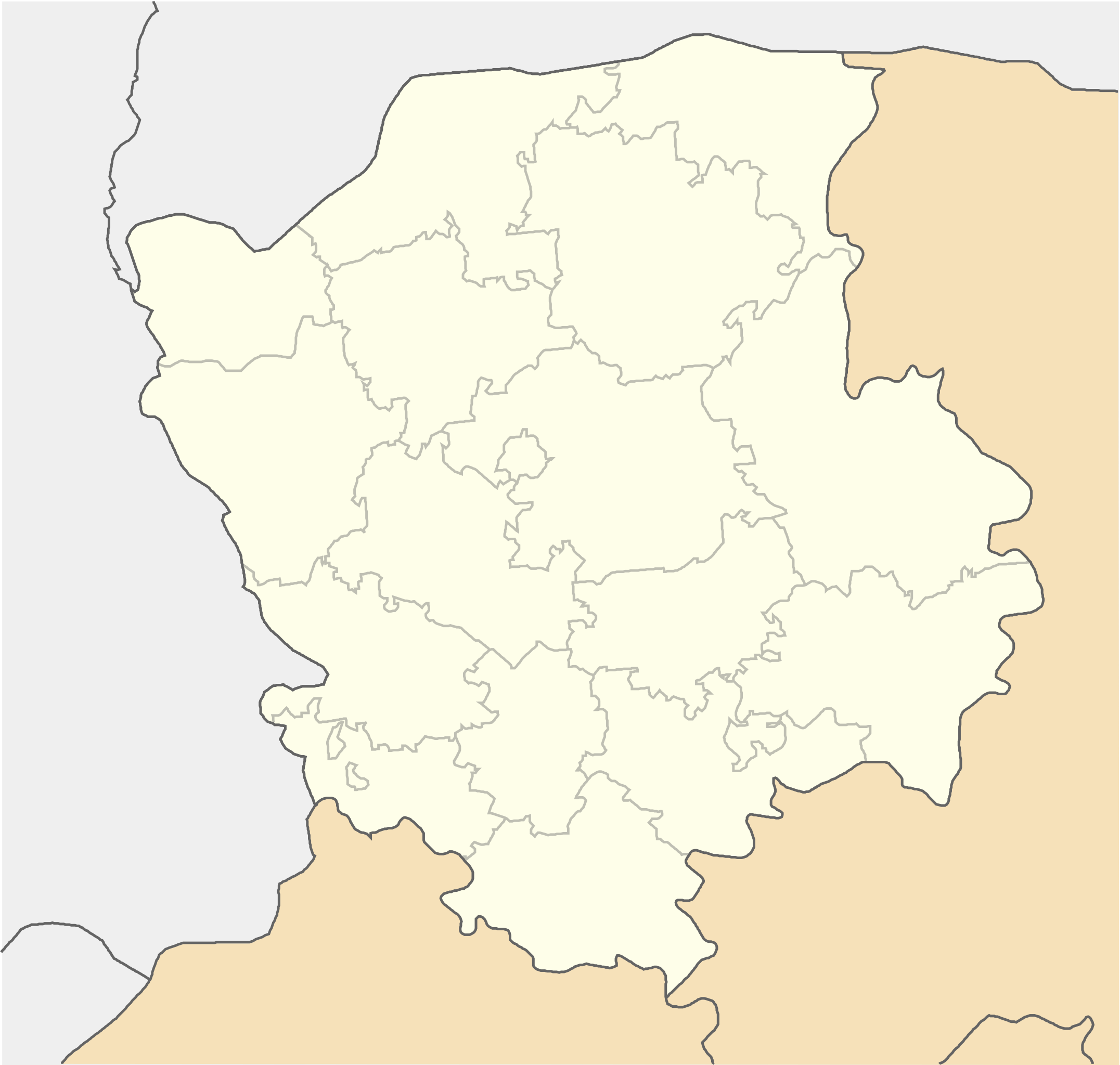
English: Location map of Volyn province, Ukraine
Русский: Позиционная карта Волынской области, Украина
Українська: Карта Волинської області, Україна |
| Date | |
| Source | Own work |
| Author | Urutseg |
| SVG development | This locator map was created with Inkscape. |
Licensing
[edit]
| I, the copyright holder of this work, release this work into the public domain. This applies worldwide. In some countries this may not be legally possible; if so: I grant anyone the right to use this work for any purpose, without any conditions, unless such conditions are required by law. |
File history
Click on a date/time to view the file as it appeared at that time.
| Date/Time | Thumbnail | Dimensions | User | Comment | |
|---|---|---|---|---|---|
| current | 08:55, 29 June 2014 | | 533 × 507 (130 KB) | קרלוס הגדול (talk | contribs) | lighter borders between provinces |
| 13:28, 1 December 2010 |  | 533 × 507 (130 KB) | Urutseg (talk | contribs) | {{Information |Description={{en|1=Location map of Volyn province, Ukraine}} {{ru|1=Позиционная карта Волынской области, Украина}} |Source={{own}} |Author=Urutseg |Date=2010-12-01 |Permission= |other_ |
You cannot overwrite this file.
File usage on Commons
There are no pages that use this file.
File usage on other wikis
The following other wikis use this file:
- Usage on azb.wikipedia.org
- Usage on bg.wikipedia.org
- Usage on de.wikipedia.org
- Usage on eo.wikipedia.org
- Lucko
- Trostjaneco (Volina provinco)
- Ŝablono:Situo sur mapo Ukrainio Volina provinco
- Kovel
- Luck (stacidomo)
- Kovel (stacidomo)
- Volodimir-Volinskij (stacidomo)
- Kiverci (stacidomo)
- Kiverci
- Roĵiŝĉe (stacidomo)
- Roĵiŝĉe
- Ĉartorijsk (stacidomo)
- Cmini
- Maneviĉi (stacidomo)
- Maneviĉi
- Ljuboml (stacidomo)
- Ljuboml
- Jahodin (stacidomo)
- Rimaĉi
- Kamin-Kaŝirskij (stacidomo)
- Kamin-Kaŝirskij
- Novovolinsk
- Turijsk (stacidomo)
- Turijsk
- Ivaniĉi (stacidomo)
- Ivaniĉi (Volina provinco)
- Usage on es.wikipedia.org
- Usage on fa.wikipedia.org
- Usage on he.wikipedia.org
View more global usage of this file.