File:Vladivostok-regions.svg
Jump to navigation
Jump to search

Size of this PNG preview of this SVG file: 550 × 526 pixels. Other resolutions: 251 × 240 pixels | 502 × 480 pixels | 803 × 768 pixels | 1,071 × 1,024 pixels | 2,141 × 2,048 pixels.
Original file (SVG file, nominally 550 × 526 pixels, file size: 930 KB)
Captions
Captions
Add a one-line explanation of what this file represents
Summary
[edit]
| Description |
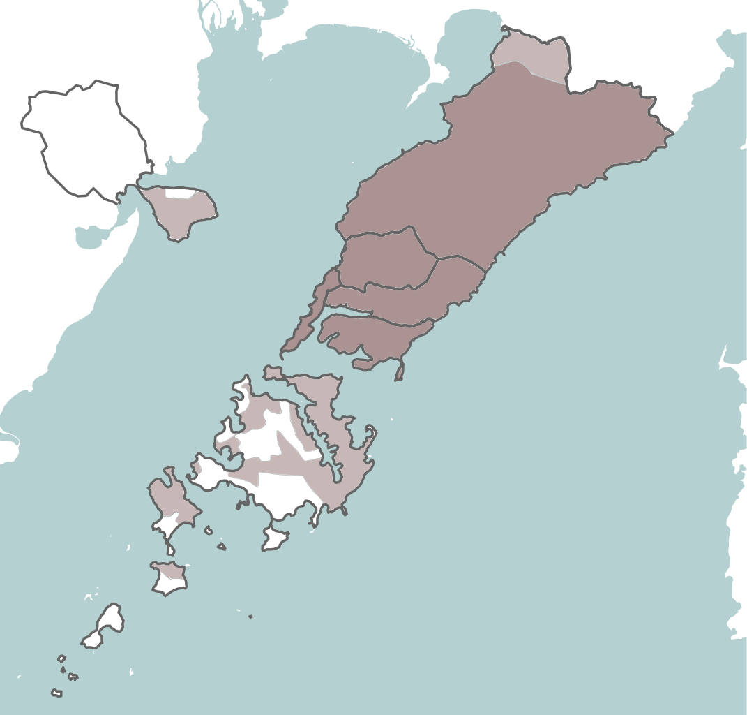
Русский: Районы города Владивосток. Координаты: 131.635,42.888,132.312,43.338 |
| Date | |
| Source | Own work using Maperitive and OpenStreetMap data |
| Author | Nzeemin |
Licensing
[edit]
| Description |
This map was created from OpenStreetMap project data, collected by the community. This map may be incomplete, and may contain errors. Don't rely solely on it for navigation. |
|||
| Date | (see file history) | |||
| Source | openstreetmap.org | |||
| Creator |
OpenStreetMap contributors |
|||
| Permission (Reusing this file) |
OpenStreetMap data is available under the Open Database License (details). Map tiles are licensed under the Creative Commons Attribution-ShareAlike 2.0 license (CC-BY-SA 2.0).
This file is licensed under the Creative Commons Attribution-Share Alike 2.0 Generic license.
|
|||
| Georeferencing | If inappropriate please set warp_status = skip to hide. |
File history
Click on a date/time to view the file as it appeared at that time.
| Date/Time | Thumbnail | Dimensions | User | Comment | |
|---|---|---|---|---|---|
| current | 14:19, 16 December 2022 | | 550 × 526 (930 KB) | RosssW (talk | contribs) | границы и цветовая гамма |
| 10:51, 26 October 2020 |  | 550 × 526 (444 KB) | Danloud (talk | contribs) | Reverted to version as of 20:19, 30 March 2014 (UTC) | |
| 14:08, 10 October 2020 |  | 550 × 526 (449 KB) | Danloud (talk | contribs) | fix | |
| 20:19, 30 March 2014 |  | 550 × 526 (444 KB) | Nzeemin (talk | contribs) | Fix. | |
| 20:13, 30 March 2014 |  | 550 × 526 (457 KB) | Nzeemin (talk | contribs) | Updated. | |
| 18:51, 17 March 2014 |  | 493 × 449 (360 KB) | Nzeemin (talk | contribs) | User created page with UploadWizard |
You cannot overwrite this file.
File usage on Commons
There are no pages that use this file.
File usage on other wikis
The following other wikis use this file:
- Usage on azb.wikipedia.org
- Usage on en.wikipedia.org
- Usage on he.wikipedia.org
- Usage on ru.wikipedia.org
- Владивосток
- Золотой Рог (Владивосток)
- Русский (остров, Приморский край)
- Остров Попова
- Рейнеке (остров, Японское море)
- Остров Рикорда
- Трудовое (Приморский край)
- Амурский залив
- Остров Шкота
- Лазурная (бухта)
- Холодильник (сопка)
- Береговое (Приморский край)
- Остров Елены
- Босфор Восточный
- Угловой залив
- Де-Фриз (полуостров)
- Богатая (река, впадает в Японское море)
- Орлиное Гнездо (сопка)
- Варгина (гора)
- Остров Кротова
- Остров Моисеева
- Русская (гора, остров Русский)
- Остров Наумова
- Остров Скрыплёва
- Лесное кладбище (Владивосток)
- Энгельма (остров)
- Остров Циволько
- Бухта Кирпичного Завода
- Фальшивый (остров, Владивосток)
- Ахлёстышева (остров)
- Сергеева (остров, Приморский край)
- Горностай (бухта)
- Остров Желтухина
- Бухта Бражникова
- Попова (Приморский край)
- Русский (Приморский край)
- Остров Клыкова
- Рейнеке (посёлок)
- Проект:Графическая мастерская/Заявки/Архив/2014/03
- Острова Пахтусова (Приморский край)
- Бухта Стеклянная
- Шаблон:ПозКарта Россия Приморский край Владивостокский городской округ
- Usage on vep.wikipedia.org
- Usage on zh.wikipedia.org