File:Virginia 267.svg
Jump to navigation
Jump to search

Size of this PNG preview of this SVG file: 750 × 600 pixels. Other resolutions: 300 × 240 pixels | 600 × 480 pixels | 960 × 768 pixels | 1,280 × 1,024 pixels | 2,560 × 2,048 pixels.
Original file (SVG file, nominally 750 × 600 pixels, file size: 5 KB)
Captions
Captions
Add a one-line explanation of what this file represents
Summary
[edit]
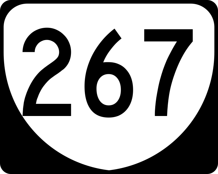
| Description | This is the shield used on Virginia's State Route 267. |
| Date | 27 August 2006 (original upload date) |
| Source | No machine-readable source provided. Own work assumed (based on copyright claims). |
| Author | No machine-readable author provided. NE2 assumed (based on copyright claims). |
Licensing
[edit]
This file is in the public domain because it comes from the Virginia Supplement to the Manual on Uniform Traffic Control Devices, sign number M1-V1c. The Virginia Supplement states on page I-2 "The MUTCD contains its own introduction which shall remain in force in addition to this Introduction for this Supplement. Technical sections contained within the remainder of this Supplement shall replace the corresponding section in the MUTCD in its entirety. If a section from the MUTCD is not contained within this Supplement, the section in the MUTCD shall remain in force." The federal MUTCD states specifically on page I-1 that:
|
File history
Click on a date/time to view the file as it appeared at that time.
| Date/Time | Thumbnail | Dimensions | User | Comment | |
|---|---|---|---|---|---|
| current | 18:43, 28 May 2016 | | 750 × 600 (5 KB) | HWY Shield Bot (talk | contribs) | == {{int:filedesc}} == {{Information |Description= 30-by-24-inch (750 mm × 600 mm) Virginia primary state route sign, made to the specifications of the [http://www.virginiadot.org/business/resources/TED/final_MUTCD/Standard_Highway_Sign... |
| 05:21, 27 August 2006 |  | 480 × 384 (6 KB) | NE2 (talk | contribs) | == Summary == This is the shield used on Virginia's State Route 267. == Licensing == {{PD-self}} 267 |
You cannot overwrite this file.
File usage on Commons
The following 2 pages use this file:
File usage on other wikis
The following other wikis use this file:
- Usage on de.wikipedia.org
- Usage on en.wikipedia.org
- Loudoun County, Virginia
- Fairfax County, Virginia
- Interstate 66
- Washington–Baltimore combined statistical area
- Virginia State Route 267
- Capital Beltway
- Local–express lanes
- Interstate 264 (Virginia)
- Virginia State Route 7
- Fairfax County Parkway
- List of primary state highways in Virginia
- Virginia State Route 123
- Virginia State Route 28
- Silver Line (Washington Metro)
- U.S. Route 15 in Virginia
- U.S. Route 29 in Virginia
- Difficult Run
- Virginia State Route 228
- Virginia State Route 269
- List of highways numbered 267
- User:MPD01605/Exit lists
- User:MPD01605/Roads/Work
- Virginia State Route 659 (Loudoun and Prince William Counties)
- List of toll roads in the United States
- Loudoun County Parkway
- Wikipedia talk:Manual of Style/Road junction lists/Archive 5
- Template:Silver Line (Washington Metro)
- User:DeFaultRyan/Travels
- Virginia State Route 606 (Fairfax and Loudoun Counties)
- Virginia State Route 602 (Fairfax County)
- User:Hardworkingbee/favorites/I-66 Route
- User:Colueihnhnib/My Sandbox
- Virginia State Route 657 (Fairfax County)
- List of former primary state highways in Virginia (Staunton District)
- User:LogoFun13
- Usage on en.wikivoyage.org
- Usage on es.wikipedia.org
- Usage on fa.wikipedia.org
- Usage on fr.wikipedia.org
View more global usage of this file.