File:View from Nikolausberg, borough of Göttingen, Lower Saxony 01.jpg
Jump to navigation
Jump to search
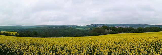
Size of this preview: 800 × 273 pixels. Other resolutions: 320 × 109 pixels | 640 × 219 pixels | 1,024 × 350 pixels | 1,280 × 437 pixels | 5,462 × 1,866 pixels.
Original file (5,462 × 1,866 pixels, file size: 2.54 MB, MIME type: image/jpeg)
Captions
Captions
Add a one-line explanation of what this file represents
Summary
[edit]
| Description |
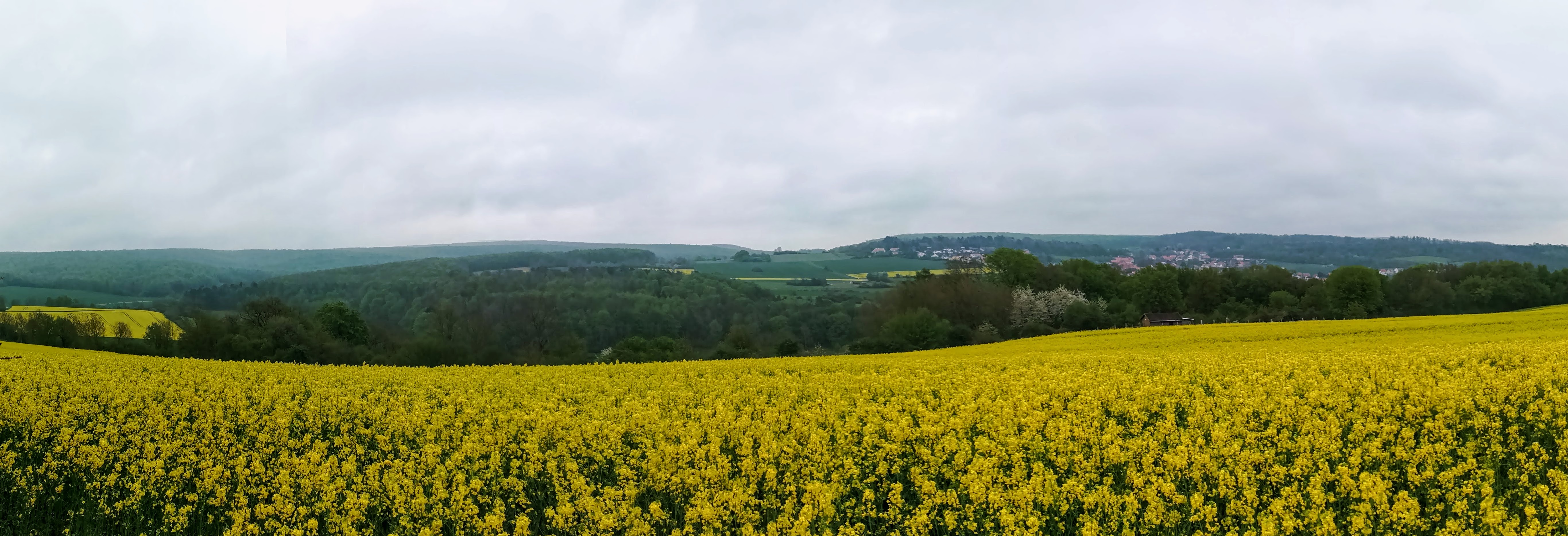
Deutsch: Blick ab Nikolausberg-Göttingen in den Osten.
Mittig rechts die Ortschaft Roringen im Tal. Im Tal links Teil des Naturschutzgebietes Bratental. Im Hintergrund rechts Teil des Schutzgebietes Stadtwald Göttingen und Kerstlingeröder Feld. Im Hintergrund links der Roringer Wald. |
| Date | |
| Source | Own work |
| Author | Nemracc |
| Camera location | | View this and other nearby images on: OpenStreetMap |
|---|
Licensing
[edit]
I, the copyright holder of this work, hereby publish it under the following license:
This file is licensed under the Creative Commons Attribution-Share Alike 4.0 International license.
- You are free:
- to share – to copy, distribute and transmit the work
- to remix – to adapt the work
- Under the following conditions:
- attribution – You must give appropriate credit, provide a link to the license, and indicate if changes were made. You may do so in any reasonable manner, but not in any way that suggests the licensor endorses you or your use.
- share alike – If you remix, transform, or build upon the material, you must distribute your contributions under the same or compatible license as the original.
| Annotations | This image is annotated: View the annotations at Commons |
File history
Click on a date/time to view the file as it appeared at that time.
| Date/Time | Thumbnail | Dimensions | User | Comment | |
|---|---|---|---|---|---|
| current | 22:29, 20 June 2021 | 5,462 × 1,866 (2.54 MB) | Nemracc (talk | contribs) | Uploaded own work with UploadWizard |
You cannot overwrite this file.
File usage on Commons
The following 2 pages use this file: