File:View from Kopasz Hill, Tarcal, Hungary - panoramio (15).jpg
Jump to navigation
Jump to search

Size of this preview: 800 × 521 pixels. Other resolutions: 320 × 208 pixels | 640 × 417 pixels | 1,024 × 667 pixels | 1,280 × 834 pixels | 1,798 × 1,171 pixels.
Original file (1,798 × 1,171 pixels, file size: 387 KB, MIME type: image/jpeg)
Captions
Captions
Add a one-line explanation of what this file represents
Summary
[edit].jpg&action=edit§ion=1)
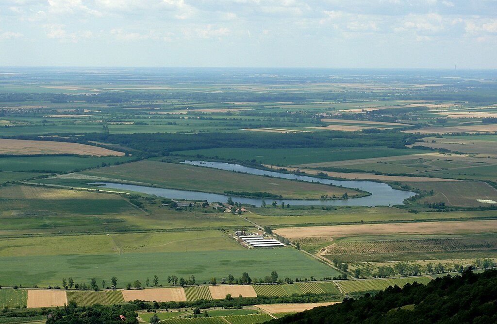
| Description | Tarcal, Hungary. Bodrog or Tisza? | ||
| Date | 22 June 2014 (original upload date) | ||
| Source | https://web.archive.org/web/20161102191320/http://www.panoramio.com/photo/108474824 | ||
| Author | Szemes Elek | ||
| Permission (Reusing this file) |
This file is licensed under the Creative Commons Attribution-Share Alike 3.0 Unported license. Attribution: Szemes Elek
|
||
| Tags (from Panoramio photo page) | Tarcal, 2014, Borsod-Abaúj-Zemplén, Magyarország, Rakamaz, Szabolcs-Szatmár-Bereg, Tokaj |
| Camera location | | View this and other nearby images on: OpenStreetMap |
|---|
.jpg¶ms=048.119450_N_0021.382023_E_globe:Earth_type:camera_source:Panoramio_&language=en)
File history
Click on a date/time to view the file as it appeared at that time.
| Date/Time | Thumbnail | Dimensions | User | Comment | |
|---|---|---|---|---|---|
| current | 19:13, 12 April 2020 | | 1,798 × 1,171 (387 KB) | Sebastian Wallroth (talk | contribs) | Cropped 2 % horizontally, 4 % vertically using CropTool with precise mode. |
| 20:50, 11 April 2017 |  | 1,826 × 1,226 (422 KB) | Panoramio upload bot (talk | contribs) | == {{int:filedesc}} == {{Information |description=Tarcal, Hungary |date={{Original upload date|2014-06-22}} |source=http://www.panoramio.com/photo/108474824 |author=[http://www.panoramio.com/user/284747?with_photo_id=108474824 Szemes Elek] |permission=... |
You cannot overwrite this file.
File usage on Commons
The following page uses this file:
- File:Tarcal, Hungary - panoramio (15).jpg (file redirect)
.jpg&redirect=no)
File usage on other wikis
The following other wikis use this file:
- Usage on hu.wikipedia.org
.jpg&oldid=463594113)