File:Viermärker-Taunus-ks01.jpg
Jump to navigation
Jump to search
Size of this preview: 800 × 597 pixels. Other resolutions: 320 × 239 pixels | 640 × 478 pixels | 1,024 × 764 pixels | 1,280 × 956 pixels | 2,560 × 1,911 pixels | 5,208 × 3,888 pixels.
Original file (5,208 × 3,888 pixels, file size: 11.39 MB, MIME type: image/jpeg)
Captions
Captions
Add a one-line explanation of what this file represents
Summary
[edit]
| Description |
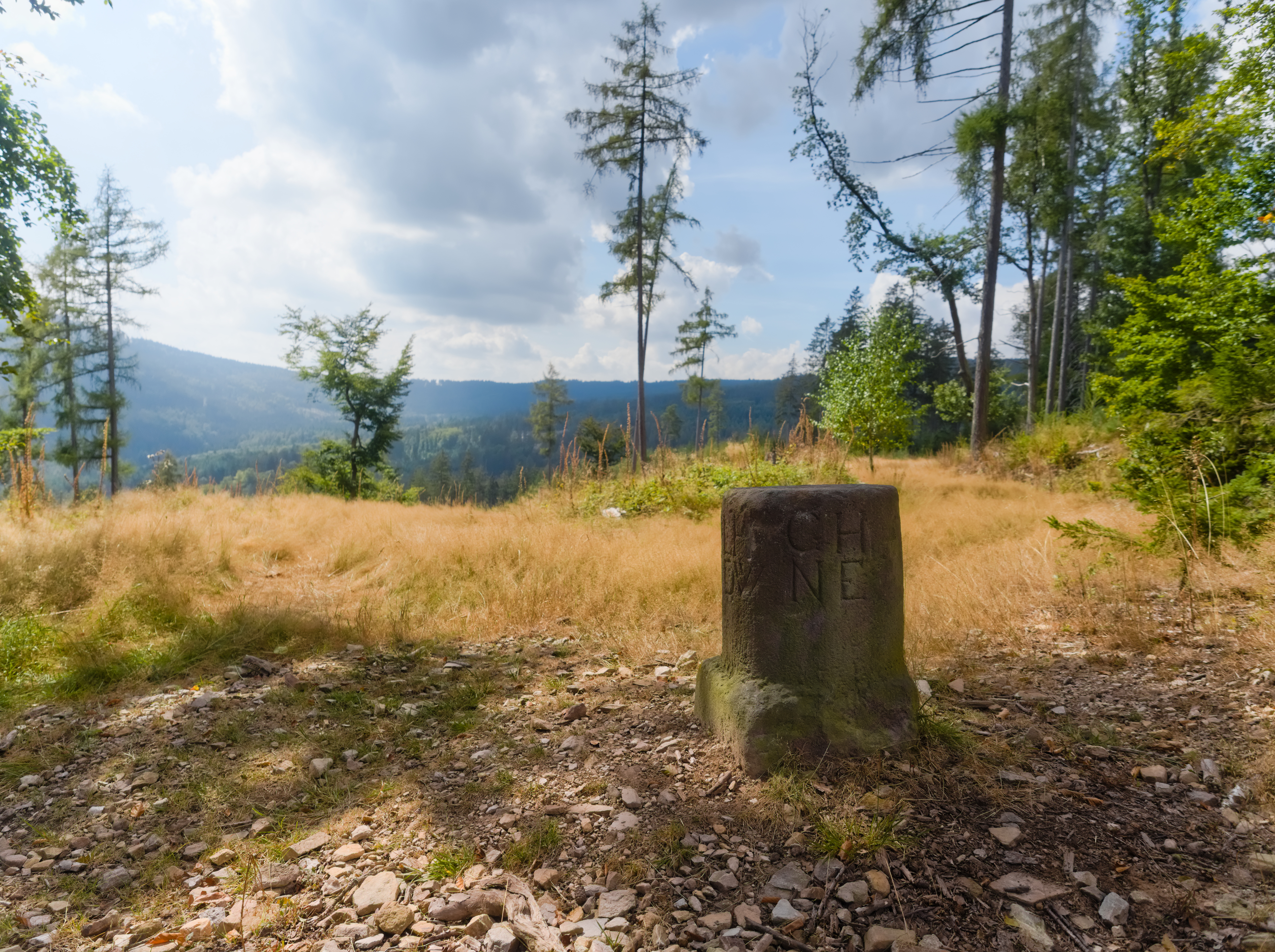
English: Historic boundary stone "Viermärker" ("four-marker"), Taunus range, Germany
Deutsch: Historischer Grenzstein „Viermärker“ im Taunus |
| Date | Taken on 3 September 2024, 13:55 |
| Source | Own work |
| Author | Kreuzschnabel |
| Object location | | View this and other nearby images on: OpenStreetMap |
|---|
Licensing
[edit]
I, the copyright holder of this work, hereby publish it under the following license:
This file is licensed under the Creative Commons Attribution-Share Alike 3.0 Unported license.
- You are free:
- to share – to copy, distribute and transmit the work
- to remix – to adapt the work
- Under the following conditions:
- attribution – You must give appropriate credit, provide a link to the license, and indicate if changes were made. You may do so in any reasonable manner, but not in any way that suggests the licensor endorses you or your use.
- share alike – If you remix, transform, or build upon the material, you must distribute your contributions under the same or compatible license as the original.

|
Permission is granted to copy, distribute and/or modify this document under the terms of the GNU Free Documentation License, Version 1.2 or any later version published by the Free Software Foundation; with no Invariant Sections, no Front-Cover Texts, and no Back-Cover Texts. A copy of the license is included in the section entitled GNU Free Documentation License. |
| Copyleft: This work of art is free; you can redistribute it and/or modify it according to terms of the Free Art License. You will find a specimen of this license on the Copyleft Attitude site as well as on other sites. |
 |
 Licensing: Choose any of the following licenses for reuse of this work. Usage is free of charge as long as all terms of the license chosen are complied with. If you would like alternative terms, please get in touch with me via Wikimail or leave a request on my my discussion page to negotiate.
In any case, I should be glad to receive a Wikimail message or, for printed media, a sample copy. |
File history
Click on a date/time to view the file as it appeared at that time.
| Date/Time | Thumbnail | Dimensions | User | Comment | |
|---|---|---|---|---|---|
| current | 11:15, 9 September 2024 | | 5,208 × 3,888 (11.39 MB) | Kreuzschnabel (talk | contribs) | {{Information |Description={{en|Historic boundary stone "Viermärker" ("four-marker"), Taunus range, Germany}} {{de|Historischer Grenzstein „Viermärker“ im Taunus}} |Source={{own}} |Date=2024-09-02 |Author= Kreuzschnabel |Permission={{subst:User:Kreuzschnabel/Lizenz}} |other_versions= }} Category:Hohe Mark (Taunus) Category:Boundary stones in Germany |
You cannot overwrite this file.
File usage on Commons
The following 2 pages use this file:
File usage on other wikis
The following other wikis use this file:
- Usage on de.wikipedia.org