File:Via Santa Groce in Lucca - panoramio.jpg
Jump to navigation
Jump to search

Size of this preview: 800 × 515 pixels. Other resolutions: 320 × 206 pixels | 640 × 412 pixels | 1,024 × 660 pixels | 1,280 × 824 pixels | 3,074 × 1,980 pixels.
Original file (3,074 × 1,980 pixels, file size: 1.82 MB, MIME type: image/jpeg)
Captions
Captions
Add a one-line explanation of what this file represents
Summary
[edit]
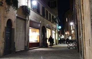
| Description | Via Santa Groce in Lucca | ||
| Date | Taken on 27 March 2013 | ||
| Source | https://web.archive.org/web/20161025123759/http://www.panoramio.com/photo/88134297 | ||
| Author | qwesy qwesy | ||
| Permission (Reusing this file) |
This file is licensed under the Creative Commons Attribution 3.0 Unported license. Attribution: qwesy qwesy
|
||
| Tags (from Panoramio photo page) | Lucca, 2013, Italien, Lucca, Toskana |
| Camera location | | View this and other nearby images on: OpenStreetMap |
|---|
File history
Click on a date/time to view the file as it appeared at that time.
| Date/Time | Thumbnail | Dimensions | User | Comment | |
|---|---|---|---|---|---|
| current | 12:51, 15 February 2017 | | 3,074 × 1,980 (1.82 MB) | Panoramio upload bot (talk | contribs) | == {{int:filedesc}} == {{Information |description=Via Santa Groce in Lucca |date={{Taken on|2013-03-27}} |source=http://www.panoramio.com/photo/88134297 |author=[http://www.panoramio.com/user/596286?with_photo_id=88134297 qwesy qwesy] |permission={{cc-... |
You cannot overwrite this file.
File usage on Commons
There are no pages that use this file.