File:Verlichte brug Kromme Nieuwegracht - panoramio (3).jpg
Jump to navigation
Jump to search
Size of this preview: 800 × 533 pixels. Other resolutions: 320 × 213 pixels | 640 × 426 pixels | 1,024 × 682 pixels | 1,280 × 853 pixels | 1,600 × 1,066 pixels.
Original file (1,600 × 1,066 pixels, file size: 1.55 MB, MIME type: image/jpeg)
Captions
Captions
Add a one-line explanation of what this file represents
Summary
[edit].jpg&action=edit§ion=1)
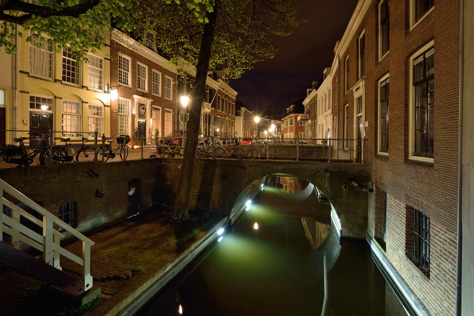
| Description | Verlichte brug Kromme Nieuwegracht | ||
| Date | Taken on 4 May 2013 | ||
| Source | https://web.archive.org/web/20161029013806/http://www.panoramio.com/photo/92120586 | ||
| Author | Aat van den Heuvel | ||
| Permission (Reusing this file) |
This file is licensed under the Creative Commons Attribution 3.0 Unported license. Attribution: Aat van den Heuvel
|
||
| Tags (from Panoramio photo page) | Utrecht |
| Camera location | | View this and other nearby images on: OpenStreetMap |
|---|
.jpg¶ms=052.090720_N_0005.125742_E_globe:Earth_type:camera_source:Panoramio_&language=en)
File history
Click on a date/time to view the file as it appeared at that time.
| Date/Time | Thumbnail | Dimensions | User | Comment | |
|---|---|---|---|---|---|
| current | 10:07, 24 February 2017 | | 1,600 × 1,066 (1.55 MB) | Panoramio upload bot (talk | contribs) | == {{int:filedesc}} == {{Information |description=Verlichte brug Kromme Nieuwegracht |date={{Taken on|2013-05-04}} |source=http://www.panoramio.com/photo/92120586 |author=[http://www.panoramio.com/user/5635152?with_photo_id=92120586 Aat van den Heuvel]... |
You cannot overwrite this file.
File usage on Commons
There are no pages that use this file.
.jpg&oldid=816526851)