File:Venezuela Nueva Esparta location map.svg
Jump to navigation
Jump to search

Size of this PNG preview of this SVG file: 771 × 600 pixels. Other resolutions: 309 × 240 pixels | 617 × 480 pixels | 988 × 768 pixels | 1,280 × 996 pixels | 2,560 × 1,991 pixels | 1,647 × 1,281 pixels.
Original file (SVG file, nominally 1,647 × 1,281 pixels, file size: 139 KB)
Captions
Captions
Add a one-line explanation of what this file represents
| Description |
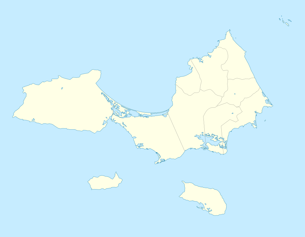
English: Geographic limits of the map:
* West : 64.442° W * East : 63.702° W * North : 11.259° N * South : 10.682° N Español: Límites geográficos del mapa: * Oeste : 64.442° O * Este : 63.702° O * Norte : 11.259° N * Sur : 10.682° N |
| Date | (UTC) |
| Source | |
| Author |
|
| SVG development |
I, the copyright holder of this work, hereby publish it under the following licenses:
This file is licensed under the Creative Commons Attribution-Share Alike 2.5 Generic, 2.0 Generic and 1.0 Generic license.
- You are free:
- to share – to copy, distribute and transmit the work
- to remix – to adapt the work
- Under the following conditions:
- attribution – You must give appropriate credit, provide a link to the license, and indicate if changes were made. You may do so in any reasonable manner, but not in any way that suggests the licensor endorses you or your use.
- share alike – If you remix, transform, or build upon the material, you must distribute your contributions under the same or compatible license as the original.
| This file is licensed under the Creative Commons Attribution-Share Alike 3.0 Unported license. | ||
| ||
| This licensing tag was added to this file as part of the GFDL licensing update. |

|
Permission is granted to copy, distribute and/or modify this document under the terms of the GNU Free Documentation License, Version 1.2 or any later version published by the Free Software Foundation; with no Invariant Sections, no Front-Cover Texts, and no Back-Cover Texts. A copy of the license is included in the section entitled GNU Free Documentation License. |
You may select the license of your choice.
Original upload log
[edit]
This image is a derivative work of the following images:
- File:Nueva Esparta Mapa Vial.svg licensed with Cc-by-sa-2.5,2.0,1.0, Cc-by-sa-3.0-migrated, GFDL
- 2008-11-01T19:03:53Z Wilfredor 3612x2508 (2032618 Bytes) {{Information |Description= |Source= |Date= |Author= |Permission= |other_versions= }}
Uploaded with derivativeFX
File history
Click on a date/time to view the file as it appeared at that time.
| Date/Time | Thumbnail | Dimensions | User | Comment | |
|---|---|---|---|---|---|
| current | 14:54, 29 August 2011 | | 1,647 × 1,281 (139 KB) | Milenioscuro (talk | contribs) | {{Information |Description= |Source=*File:Nueva_Esparta_Mapa_Vial.svg |Date=2011-08-29 14:53 (UTC) |Author=*File:Nueva_Esparta_Mapa_Vial.svg: Wilfredo R. Rodriguez H. *derivative work: ~~~ |Permission= |other_versions= }} { |
You cannot overwrite this file.
File usage on Commons
There are no pages that use this file.
File usage on other wikis
The following other wikis use this file:
- Usage on de.wikipedia.org
- Usage on eo.wikipedia.org
- Usage on es.wikipedia.org
- Juan Griego
- La Asunción
- Porlamar
- Isla de Margarita
- El Valle del Espíritu Santo
- Isla de Coche
- Pampatar
- San Juan Bautista (Venezuela)
- Santa Ana (Nueva Esparta)
- San Pedro de Coche
- Boca del Río (Venezuela)
- La Guardia (Nueva Esparta)
- Atamo
- Paraguachí
- Isla de Cubagua
- Wikiproyecto:Ilustración/Taller de Cartografía/Realizaciones/América del Sur
- Isla Blanca (Venezuela)
- Plantilla:Mapa de localización de Nueva Esparta
- Altagracia (Nueva Esparta)
- Hotel La Posada de El Reino
- Catalán (Estado Nueva Esparta)
- Usage on fr.wikipedia.org
- La Asunción
- Margarita (île)
- Santa Ana (Nueva Esparta)
- Atamo
- Los Cerritos (Venezuela)
- Porlamar
- Coche (île)
- Estadio Nueva Esparta
- Cubagua
- Pampatar
- Juan Griego
- Punta de Piedras (Tubores)
- San Juan Bautista (Venezuela)
- Aéroport International Del Caribe Santiago Mariño
- La Plaza de Paraguachí
- El Valle del Espíritu Santo
- Boca de Río
- San Pedro de Coche
- Phare de Punta Charagato
- Phare de La Puntilla
- Phare de Punta Faragoza
View more global usage of this file.