File:Venezia Campo San Toma R01.jpg
Jump to navigation
Jump to search
Size of this preview: 800 × 574 pixels. Other resolutions: 320 × 229 pixels | 640 × 459 pixels | 1,024 × 734 pixels | 1,280 × 918 pixels | 2,560 × 1,836 pixels | 4,486 × 3,217 pixels.
Original file (4,486 × 3,217 pixels, file size: 8.01 MB, MIME type: image/jpeg)
Captions
Captions
Add a one-line explanation of what this file represents
Summary
[edit]
| Description |
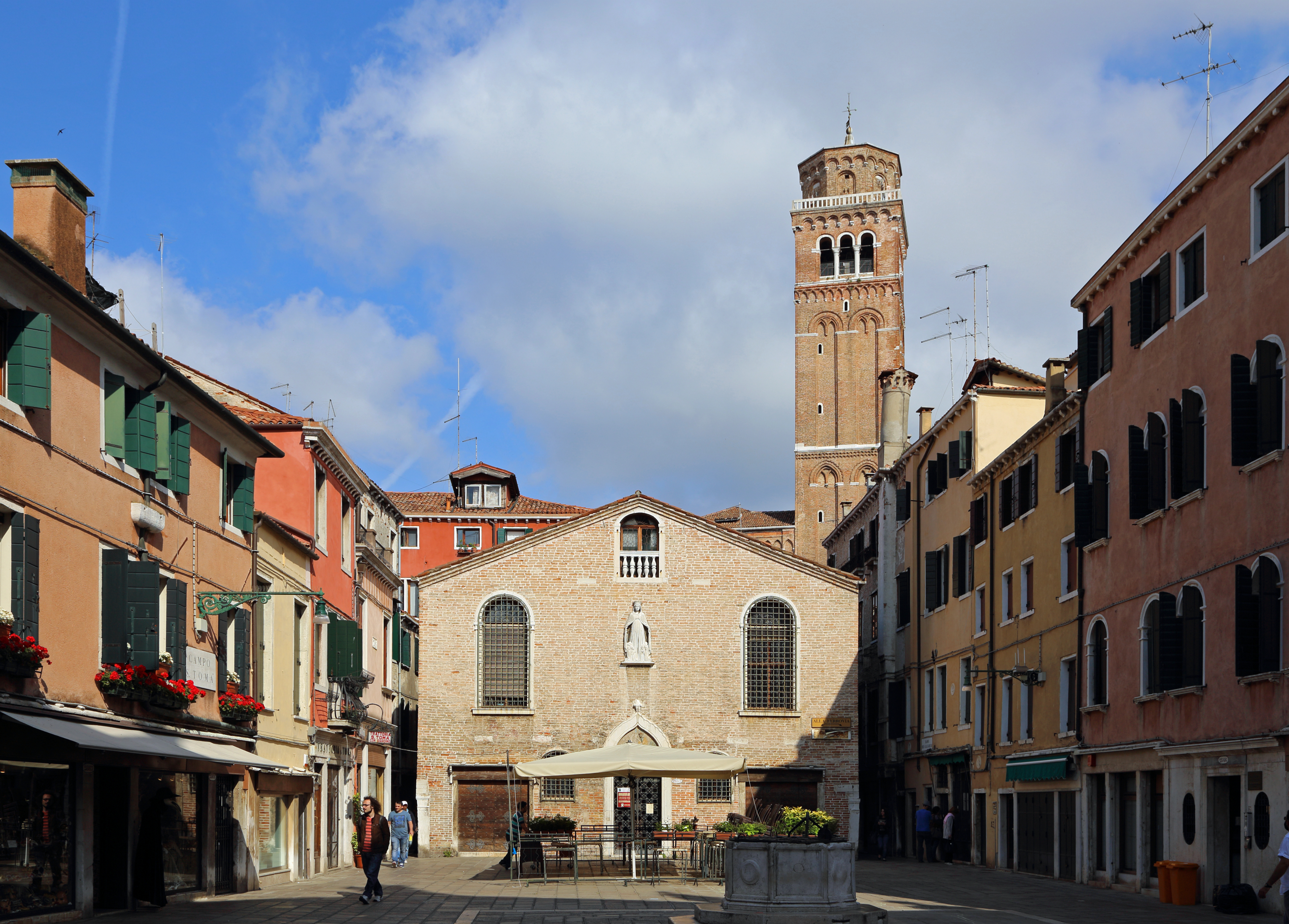
Nederlands: Venetië (Italië): de Campo San Tomà, met centraal in beeld de Scoletta dei Calegheri (voormalig gildehuis van de schoenmakers)
English: Venice (Italy): the Campo San Tomà, with the Scoletta dei Calegheri (former shoemakers' guildhall)
Français : Venise (Italie) : le Campo San Tomà, avec au centre de l'image la Scoletta dei Calegheri (anciennement le siège de la corporation des cordonniers) |
| Date | |
| Source | Own work |
| Author | Marc Ryckaert |
| Camera location | | View this and other nearby images on: OpenStreetMap |
|---|
Licensing
[edit]
I, the copyright holder of this work, hereby publish it under the following license:
This file is licensed under the Creative Commons Attribution-Share Alike 4.0 International license.
- You are free:
- to share – to copy, distribute and transmit the work
- to remix – to adapt the work
- Under the following conditions:
- attribution – You must give appropriate credit, provide a link to the license, and indicate if changes were made. You may do so in any reasonable manner, but not in any way that suggests the licensor endorses you or your use.
- share alike – If you remix, transform, or build upon the material, you must distribute your contributions under the same or compatible license as the original.
File history
Click on a date/time to view the file as it appeared at that time.
| Date/Time | Thumbnail | Dimensions | User | Comment | |
|---|---|---|---|---|---|
| current | 13:28, 31 March 2016 | | 4,486 × 3,217 (8.01 MB) | MJJR (talk | contribs) | User created page with UploadWizard |
You cannot overwrite this file.
File usage on Commons
There are no pages that use this file.