File:Van Giao, Tinh bien, An giang - panoramio.jpg
Jump to navigation
Jump to search
Size of this preview: 800 × 440 pixels. Other resolutions: 320 × 176 pixels | 640 × 352 pixels | 1,024 × 563 pixels | 1,280 × 704 pixels | 2,560 × 1,408 pixels | 4,398 × 2,419 pixels.
Original file (4,398 × 2,419 pixels, file size: 8.16 MB, MIME type: image/jpeg)
Captions
Captions
Add a one-line explanation of what this file represents
Summary
[edit]
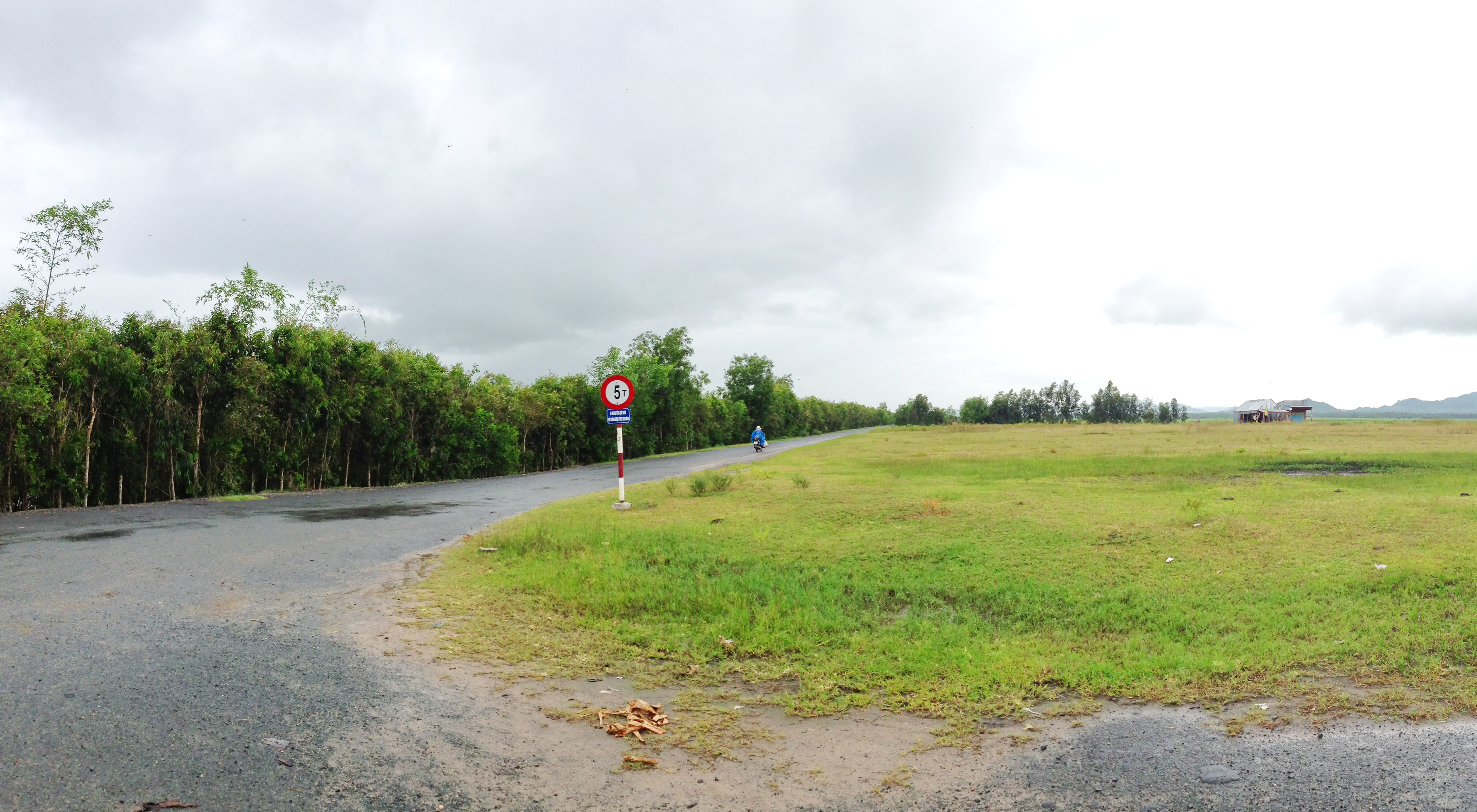
| Description | Van Giao, Tinh bien, An giang | ||
| Date | Taken on 5 October 2013 | ||
| Source | https://web.archive.org/web/20161031152743/http://www.panoramio.com/photo/97733993 | ||
| Author | trungydang | ||
| Permission (Reusing this file) |
This file is licensed under the Creative Commons Attribution 3.0 Unported license. Attribution: trungydang
|
||
| Tags (from Panoramio photo page) | Văn Giáo, An Giang, An Giang (tt. Nhà Bàng), An Giang (Tịnh Biên), Văn Giáo |
| Camera location | | View this and other nearby images on: OpenStreetMap |
|---|
File history
Click on a date/time to view the file as it appeared at that time.
| Date/Time | Thumbnail | Dimensions | User | Comment | |
|---|---|---|---|---|---|
| current | 03:56, 20 March 2017 | | 4,398 × 2,419 (8.16 MB) | Panoramio upload bot (talk | contribs) | == {{int:filedesc}} == {{Information |description=Van Giao, Tinh bien, An giang |date={{Taken on|2013-10-05}} |source=http://www.panoramio.com/photo/97733993 |author=[http://www.panoramio.com/user/5317517?with_photo_id=97733993 trungydang] |permission=... |
You cannot overwrite this file.
File usage on Commons
There are no pages that use this file.