File:Valle Schizzola - panoramio (2).jpg
Jump to navigation
Jump to search
Size of this preview: 800 × 263 pixels. Other resolutions: 320 × 105 pixels | 640 × 211 pixels | 1,024 × 337 pixels | 1,280 × 421 pixels | 3,889 × 1,280 pixels.
Original file (3,889 × 1,280 pixels, file size: 2.04 MB, MIME type: image/jpeg)
Captions
Captions
Add a one-line explanation of what this file represents
Summary
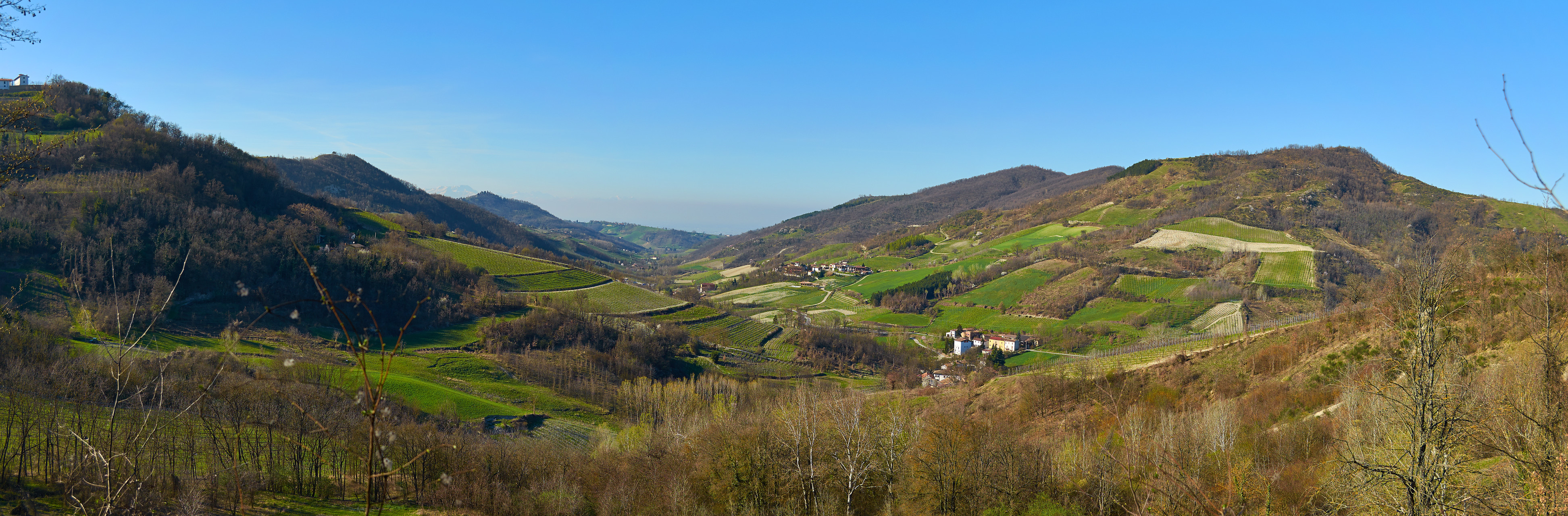
[edit]| Description | Valle Schizzola | ||
| Date | 18 March 2014 (original upload date) | ||
| Source | https://web.archive.org/web/20161028174700/http://www.panoramio.com/photo/104527201 | ||
| Author | Terensky | ||
| Permission (Reusing this file) |
This file is licensed under the Creative Commons Attribution 3.0 Unported license. Attribution: Terensky
|
||
| Tags (from Panoramio photo page) | Montesegale, Lombardia, Montesegale, Oltrepo Pavese |
| Camera location | | View this and other nearby images on: OpenStreetMap |
|---|

.jpg&action=edit§ion=1)
.jpg¶ms=044.922260_N_0009.130576_E_globe:Earth_type:camera_source:Panoramio_&language=en)
.jpg&action=edit&withJS=MediaWiki:Catcheck.js)
File history
Click on a date/time to view the file as it appeared at that time.
| Date/Time | Thumbnail | Dimensions | User | Comment | |
|---|---|---|---|---|---|
| current | 05:22, 24 March 2017 | 3,889 × 1,280 (2.04 MB) | Panoramio upload bot (talk | contribs) | == {{int:filedesc}} == {{Information |description=Valle Schizzola |date={{Original upload date|2014-03-18}} |source=http://www.panoramio.com/photo/104527201 |author=[http://www.panoramio.com/user/4616731?with_photo_id=104527201 Terensky] |permission={{... |
You cannot overwrite this file.
File usage on Commons
There are no pages that use this file.
.jpg&oldid=666416381)