File:Vaal River - panoramio.jpg
Jump to navigation
Jump to search

Size of this preview: 800 × 499 pixels. Other resolutions: 320 × 200 pixels | 640 × 400 pixels | 1,024 × 639 pixels | 1,280 × 799 pixels | 2,992 × 1,868 pixels.
Original file (2,992 × 1,868 pixels, file size: 2.68 MB, MIME type: image/jpeg)
Captions
Captions
Add a one-line explanation of what this file represents
Summary
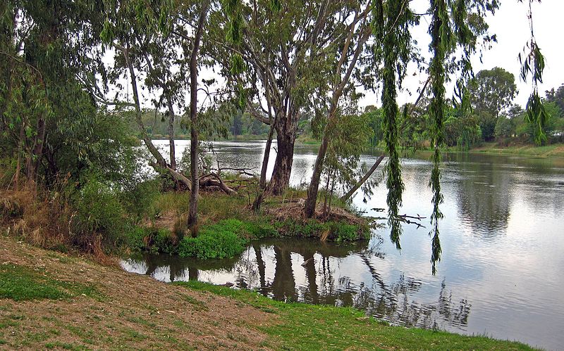
[edit]| Description | Vaal River | ||
| Date | Taken on 9 October 2009 | ||
| Source | https://web.archive.org/web/20161014004026/http://www.panoramio.com/photo/28153432 | ||
| Author | Johann Snyman | ||
| Permission (Reusing this file) |
This file is licensed under the Creative Commons Attribution-Share Alike 3.0 Unported license. Attribution: Johann Snyman
|
||
| Tags (from Panoramio photo page) | Potchefstroom, southafrica parys vaal river |
| Camera location | | View this and other nearby images on: OpenStreetMap |
|---|

File history
Click on a date/time to view the file as it appeared at that time.
| Date/Time | Thumbnail | Dimensions | User | Comment | |
|---|---|---|---|---|---|
| current | 08:56, 6 December 2016 | | 2,992 × 1,868 (2.68 MB) | Panoramio upload bot (talk | contribs) | == {{int:filedesc}} == {{Information |description=Vaal River |date={{Taken on|2009-10-09}} |source=http://www.panoramio.com/photo/28153432 |author=[http://www.panoramio.com/user/3531746?with_photo_id=28153432 Johann Snyman] |permission={{cc-by-sa-3.0|J... |
You cannot overwrite this file.
File usage on Commons
There are no pages that use this file.