File:VIEW FROM TU-ENDIE-WEI PARK, AT PT. PLEASANT, ON THE POINT FORMED BY THE JUNCTION OF THE OHIO AND KANAWHA RIVERS. THE... - NARA - 551166.jpg
Original file (3,000 × 2,044 pixels, file size: 942 KB, MIME type: image/jpeg)
Captions
Captions
Summary
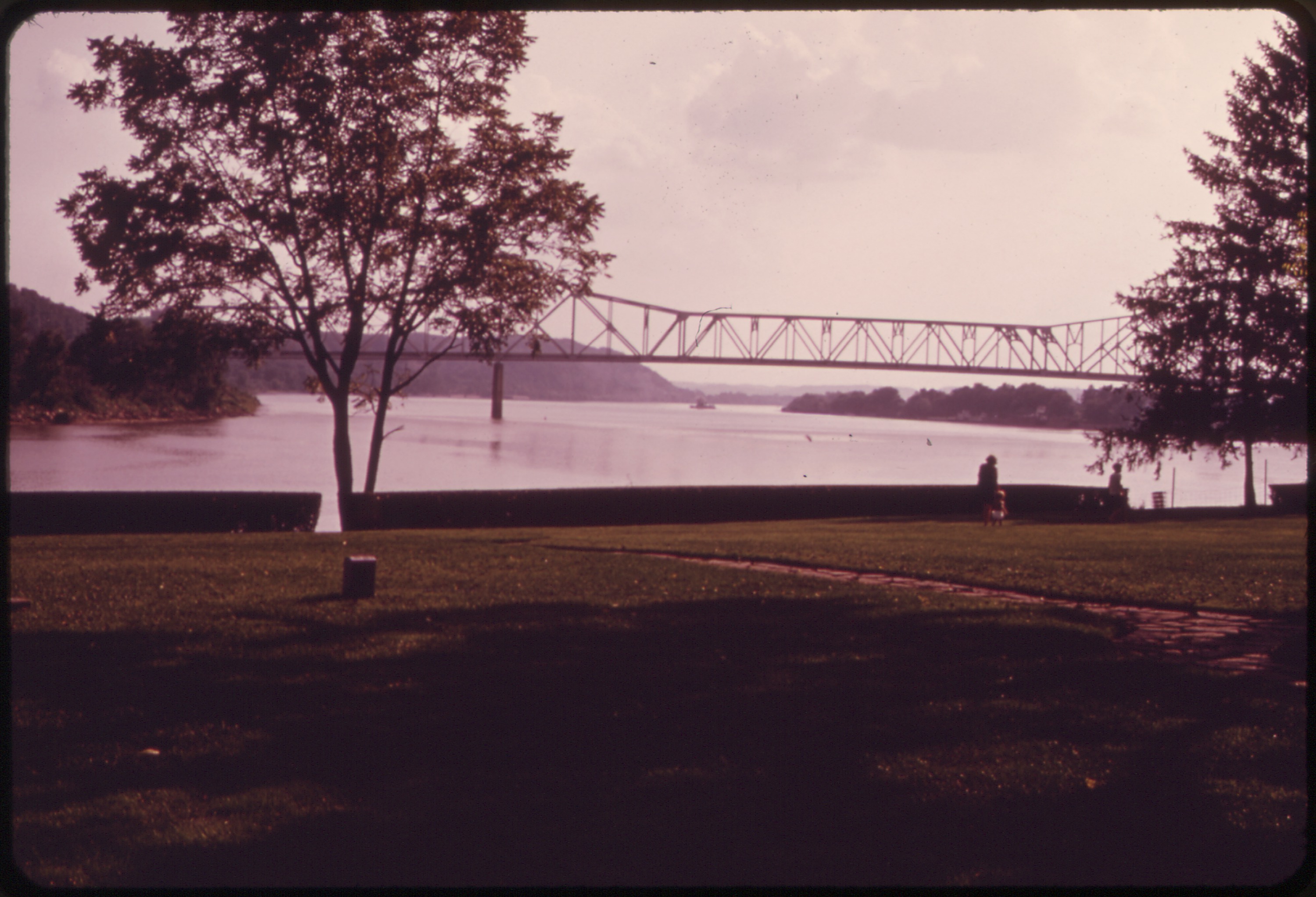
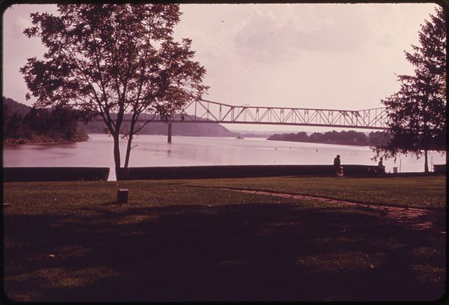
[edit]| VIEW FROM TU-ENDIE-WEI PARK, AT PT. PLEASANT, ON THE POINT FORMED BY THE JUNCTION OF THE OHIO AND KANAWHA RIVERS. THE PARK COMMEMORATES THE BATTLE OF POINT PLEASANT, FOUGHT IN 1774
( |
|||||||||||||||||||||||||||
|---|---|---|---|---|---|---|---|---|---|---|---|---|---|---|---|---|---|---|---|---|---|---|---|---|---|---|---|
| Author |
Schaefer, Harry, Photographer (NARA record: 8464469) |
||||||||||||||||||||||||||
| Record creator | Environmental Protection Agency. (12/02/1970 - ) | ||||||||||||||||||||||||||
| Title |
VIEW FROM TU-ENDIE-WEI PARK, AT PT. PLEASANT, ON THE POINT FORMED BY THE JUNCTION OF THE OHIO AND KANAWHA RIVERS. THE PARK COMMEMORATES THE BATTLE OF POINT PLEASANT, FOUGHT IN 1774 |
||||||||||||||||||||||||||
| Depicted place |
Charleston (Kanawha county, West Virginia, United States, North and Central America) inhabited place (38°19′59″N 81°37′01″W / 38.333°N 81.617°W; NARA geographical record) |
||||||||||||||||||||||||||
| Date | August 1973 | ||||||||||||||||||||||||||
| Collection |
|
||||||||||||||||||||||||||
| Record ID |
NAIL Control Number: NWDNS-412-DA-8681
|
||||||||||||||||||||||||||
| Source | U.S. National Archives and Records Administration | ||||||||||||||||||||||||||
| Other versions |
Please do not overwrite this file: any restoration work should be uploaded with a new name and linked in this page's "other versions=" parameter, so that this file represents the exact file found in the NARA catalog record to which it links. The metadata on this page was imported directly from NARA's catalog record; additional descriptive text may be added by Wikimedians to the template below with the "description=" parameter, but please do not modify the other fields.
|
||||||||||||||||||||||||||


Licensing
[edit]
This file was provided to Wikimedia Commons by the National Archives and Records Administration as part of a cooperation project. The National Archives and Records Administration provides images depicting American and global history which are public domain or licensed under a free license.
|
This image (or other media) is a work of an Environmental Protection Agency employee, taken or made as part of that person's official duties. As works of the U.S. federal government, all EPA images are in the public domain.
|
||
File history
Click on a date/time to view the file as it appeared at that time.
| Date/Time | Thumbnail | Dimensions | User | Comment | |
|---|---|---|---|---|---|
| current | 10:16, 25 October 2011 | | 3,000 × 2,044 (942 KB) | US National Archives bot (talk | contribs) | == {{int:filedesc}} == {{NARA-image-full | Title = VIEW FROM TU-ENDIE-WEI PARK, AT PT. PLEASANT, ON THE POINT FORMED BY THE JUNCTION OF THE OHIO AND KANAWHA RIVERS. THE PARK COMMEMORATES THE BATTLE OF POINT PLEASANT, FOUGHT IN 1774 | |
You cannot overwrite this file.
File usage on Commons
The following 2 pages use this file:
Metadata
- Point Pleasant, West Virginia
- Bridges over the Ohio River in Ohio
- Bridges over the Ohio River in West Virginia
- Cantilever bridges in the United States
- Built in Ohio in 1969
- Built in West Virginia in 1969
- 1960s bridges in Ohio
- 1960s bridges in West Virginia
- Road bridges in the United States completed in 1969
- Through truss bridges in Ohio
- Longest cantilever bridges
- 0.5-kilometer bridges in the United States
- Roads in Mason County, West Virginia
- Gallipolis, Ohio
- Through truss bridges in West Virginia
- Tu-Endie-Wei State Park
- Mason County, West Virginia in the 1970s
- DOCUMERICA photographs by Harry Schaefer