File:VIC Kew District 1967-76.png
Jump to navigation
Jump to search

Size of this preview: 600 × 600 pixels. Other resolutions: 240 × 240 pixels | 480 × 480 pixels | 768 × 768 pixels | 1,024 × 1,024 pixels | 2,401 × 2,401 pixels.
Original file (2,401 × 2,401 pixels, file size: 237 KB, MIME type: image/png)
Captions
Captions
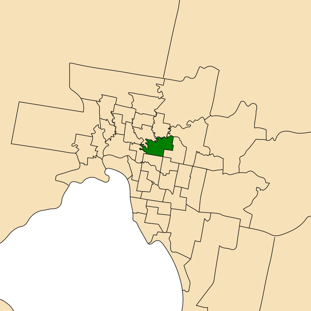
Map of Victorian electoral districts in years 1967-1976 with Kew highlighted.
Summary
[edit]
| Description |
English: A map of Victorian electoral districts (1967-1976) with Greater Melbourne depicted. The Electoral District of Kew is highlighted dark green.
The information used to create this file can be found here: http://psephos.adam-carr.net/countries/a/australia/states/vic/maps/vicmapsindex16.shtml Should you require a map of a Victorian electoral district between the years 1967-1976 feel free to contact me on my talk page. |
| Date | |
| Source | Own work |
| Author | GA Melbourne |
Licensing
[edit]
I, the copyright holder of this work, hereby publish it under the following license:
This file is licensed under the Creative Commons Attribution-Share Alike 4.0 International license.
- You are free:
- to share – to copy, distribute and transmit the work
- to remix – to adapt the work
- Under the following conditions:
- attribution – You must give appropriate credit, provide a link to the license, and indicate if changes were made. You may do so in any reasonable manner, but not in any way that suggests the licensor endorses you or your use.
- share alike – If you remix, transform, or build upon the material, you must distribute your contributions under the same or compatible license as the original.
File history
Click on a date/time to view the file as it appeared at that time.
| Date/Time | Thumbnail | Dimensions | User | Comment | |
|---|---|---|---|---|---|
| current | 06:58, 31 December 2022 | | 2,401 × 2,401 (237 KB) | GMH Melbourne (talk | contribs) | Uploaded own work with UploadWizard |
You cannot overwrite this file.
File usage on Commons
There are no pages that use this file.
File usage on other wikis
The following other wikis use this file:
- Usage on en.wikipedia.org