File:Usedlost čp. 39, Chrášťovice.jpg
Original file (5,472 × 3,648 pixels, file size: 2.43 MB, MIME type: image/jpeg)
Captions
Summary
[edit]DescriptionUsedlost čp. 39, Chrášťovice.jpg |
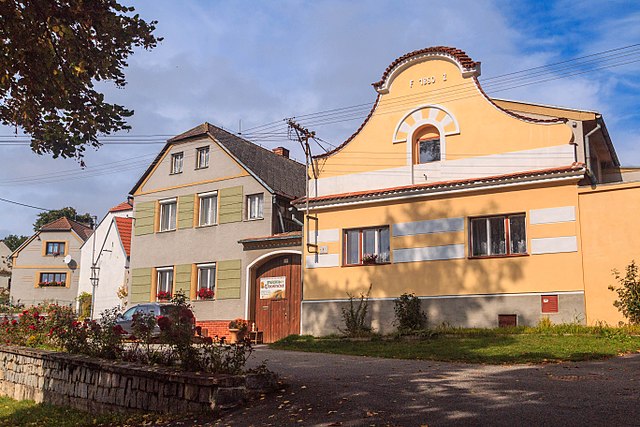
Čeština: Usedlosti čp. 38 a 39, Chrášťovice.
|
||
Date | |||
Source |
Own work
|
||
Author | Petr1888 | ||
Permission (Reusing this file) |
I, the copyright holder of this work, hereby publish it under the following license: This file is licensed under the Creative Commons Attribution-Share Alike 4.0 International license.
|
Camera location | 49° 20′ 01.4″ N, 13° 53′ 44.22″ E | View this and other nearby images on: OpenStreetMap | 49.333722; 13.895617 |
---|
Annotations InfoField | This image is annotated: View the annotations at Commons |
Chrášťovice čp. 39
čp. 38
File history
Click on a date/time to view the file as it appeared at that time.
Date/Time | Thumbnail | Dimensions | User | Comment | |
---|---|---|---|---|---|
current | 08:22, 6 October 2017 | 5,472 × 3,648 (2.43 MB) | Petr1888 (talk | contribs) | User created page with UploadWizard |
You cannot overwrite this file.
File usage on Commons
The following page uses this file:
File usage on other wikis
The following other wikis use this file:
- Usage on cs.wikipedia.org
- Usage on www.wikidata.org
Metadata
This file contains additional information such as Exif metadata which may have been added by the digital camera, scanner, or software program used to create or digitize it. If the file has been modified from its original state, some details such as the timestamp may not fully reflect those of the original file. The timestamp is only as accurate as the clock in the camera, and it may be completely wrong.
Camera manufacturer | Canon |
---|---|
Camera model | Canon EOS 70D |
Exposure time | 1/1,250 sec (0.0008) |
F-number | f/8 |
ISO speed rating | 100 |
Date and time of data generation | 12:54, 28 September 2017 |
Lens focal length | 24 mm |
Latitude | 49° 20′ 1.4″ N |
Longitude | 13° 53′ 44.22″ E |
Altitude | 545.1 meters above sea level |
Horizontal resolution | 72 dpi |
Vertical resolution | 72 dpi |
Software used | Adobe Photoshop Lightroom 5.7 (Windows) |
File change date and time | 11:56, 3 October 2017 |
Exposure Program | Aperture priority |
Exif version | 2.3 |
Date and time of digitizing | 12:54, 28 September 2017 |
APEX shutter speed | 10.287712 |
APEX aperture | 6 |
APEX exposure bias | −1.3333333333333 |
Maximum land aperture | 4 APEX (f/4) |
Metering mode | Spot |
Flash | Flash did not fire |
DateTimeOriginal subseconds | 00 |
DateTimeDigitized subseconds | 00 |
Focal plane X resolution | 2,452.1186523438 |
Focal plane Y resolution | 2,452.1186523438 |
Focal plane resolution unit | 3 |
Custom image processing | Normal process |
Exposure mode | Auto exposure |
White balance | Auto white balance |
Scene capture type | Standard |
GPS time (atomic clock) | 10:53 |
Satellites used for measurement | 12 |
Receiver status | Measurement in progress |
Measurement mode | 3-dimensional measurement |
Measurement precision | Fair (1.8) |
Reference for direction of image | Magnetic direction |
Direction of image | 303 |
Geodetic survey data used | WGS-84 |
GPS date | 28 September 2017 |
GPS tag version | 0.0.3.2 |
Serial number of camera | 178056005853 |
Lens used | EF24-105mm f/4L IS USM |
Date metadata was last modified | 13:56, 3 October 2017 |
Unique ID of original document | D9497D69B952790B195147D032D16ADE |
IIM version | 4 |