File:Upstream-downstream side of an island (upstream).jpg
Jump to navigation
Jump to search
Size of this preview: 800 × 600 pixels. Other resolutions: 320 × 240 pixels | 640 × 480 pixels | 1,024 × 768 pixels | 1,280 × 960 pixels | 2,560 × 1,920 pixels | 2,816 × 2,112 pixels.
Original file (2,816 × 2,112 pixels, file size: 2.58 MB, MIME type: image/jpeg)
Captions
Captions
Add a one-line explanation of what this file represents
Summary
[edit].jpg&action=edit§ion=1)
| Description |
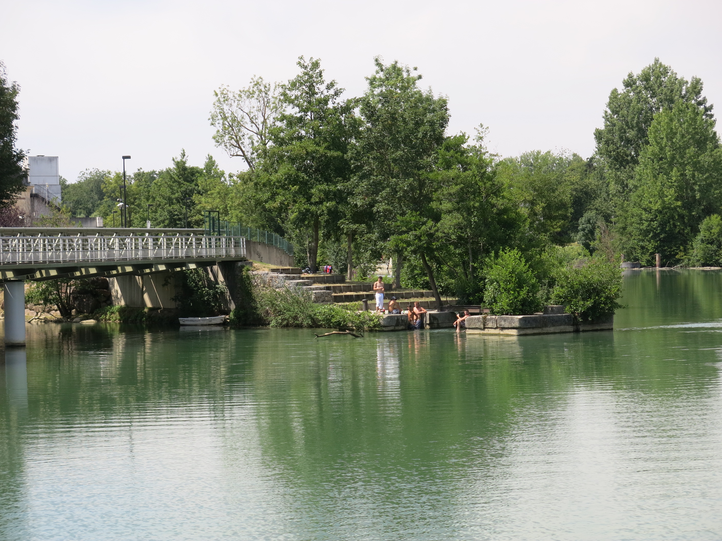
English: View to the upstream of an island. As on most islands, because of streams, the banks have been reinforced. Island of the dam of Noisiel (Seine-et-Marne, France).
Français : Vue du côté amont d'une île. Comme sur la plupart des îles, à cause du courant, les rives ont été renforcées. Ile du barrage de Noisiel (Seine-et-Marne). |
| Date | |
| Source | Self-photographed |
| Author | Tangopaso |
| Other versions |
.jpg) |
| Camera location | | View this and other nearby images on: OpenStreetMap |
|---|
.jpg¶ms=048.856877_N_0002.627175_E_globe:Earth_type:camera_heading:315.00&language=en)
This image was uploaded as part of L'Été des villes 2015.
|
Licensing
[edit].jpg&action=edit§ion=2)
| I, the copyright holder of this work, release this work into the public domain. This applies worldwide. In some countries this may not be legally possible; if so: I grant anyone the right to use this work for any purpose, without any conditions, unless such conditions are required by law. |
File history
Click on a date/time to view the file as it appeared at that time.
| Date/Time | Thumbnail | Dimensions | User | Comment | |
|---|---|---|---|---|---|
| current | 18:43, 8 August 2015 | | 2,816 × 2,112 (2.58 MB) | Tangopaso (talk | contribs) | =={{int:filedesc}}== {{Information |Description= {{en|1=View to the upstream of an island. As on most islands, because of streams, the banks have been reinforced. Island of the dam of Noisiel (Seine-et-Marne, France).}} {{fr|1=Vue du côté amont d'une... |
You cannot overwrite this file.
File usage on Commons
The following page uses this file:
.jpg&oldid=697097044)