File:Unterer Thurlauf um 1860.png
Jump to navigation
Jump to search
Size of this preview: 800 × 299 pixels. Other resolutions: 320 × 119 pixels | 640 × 239 pixels | 1,024 × 382 pixels | 1,280 × 478 pixels | 2,964 × 1,106 pixels.
Original file (2,964 × 1,106 pixels, file size: 6.36 MB, MIME type: image/png)
Captions
Captions
Add a one-line explanation of what this file represents
Summary
[edit]
| Description |
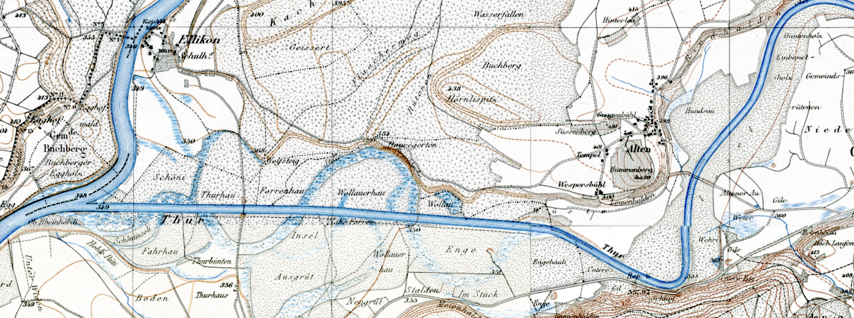
Deutsch: Alter und neuer Thurlauf auf der Siegfriedkarte |
| Source | http://map.geo.admin.ch |
| Author | Eidgenössisches Stabsbureau (heute Bundesamt für Landestopografie) |
Licensing
[edit]
|
This work is in the public domain in its country of origin and other countries and areas where the copyright term is the author's life plus 70 years or fewer. | |
| This file has been identified as being free of known restrictions under copyright law, including all related and neighboring rights. | |
File history
Click on a date/time to view the file as it appeared at that time.
| Date/Time | Thumbnail | Dimensions | User | Comment | |
|---|---|---|---|---|---|
| current | 14:55, 22 May 2022 | 2,964 × 1,106 (6.36 MB) | Parpan05 (talk | contribs) | =={{int:filedesc}}== {{Information |description={{de|1=Alter und neuer Thurlauf auf der Siegfriedkarte |source={{own}} |author=Parpan05 |permission= |other versions= }} =={{int:license-header}}== Category:Thurauen Category:Topographischer Atlas der Schweiz }} |
You cannot overwrite this file.
File usage on Commons
The following page uses this file:
File usage on other wikis
The following other wikis use this file:
- Usage on de.wikipedia.org