File:United States - European Union map (2007).png
Jump to navigation
Jump to search
No higher resolution available.
United_States_-_European_Union_map_(2007).png (738 × 375 pixels, file size: 19 KB, MIME type: image/png)
Captions
Captions
Add a one-line explanation of what this file represents
Summary
[edit].png&action=edit§ion=1)
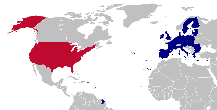
This is a map of the US and the EU (as of 2007). The map is the same as Image:United States - European Union map.png; however French Guiana and Puerto Rico have been added. This map is based off of Image:BlankMap-World-v5-EU.png.
Licensing
[edit].png&action=edit§ion=2)
| This work has been released into the public domain by its author, Hoshie. This applies worldwide. In some countries this may not be legally possible; if so: |
File history
Click on a date/time to view the file as it appeared at that time.
| Date/Time | Thumbnail | Dimensions | User | Comment | |
|---|---|---|---|---|---|
| current | 23:34, 9 April 2007 | | 738 × 375 (19 KB) | Hoshie (talk | contribs) | used a newer base map that shows more islands and other places than before |
| 02:47, 6 March 2007 |  | 703 × 363 (18 KB) | Hoshie (talk | contribs) | fixed an island close to alaska, after looking at a CIA map | |
| 02:07, 19 November 2006 |  | 703 × 363 (18 KB) | Hoshie (talk | contribs) | Reverted to earlier revision | |
| 00:42, 19 November 2006 |  | 703 × 363 (18 KB) | Hoshie (talk | contribs) | fixed a part of Alaska | |
| 03:38, 18 November 2006 |  | 703 × 363 (18 KB) | Hoshie (talk | contribs) | This is a map of the US and the EU (as of 2007). The map is the same as Image:United States - European Union map.png; however French Guiana and Puerto Rico have been added. This map is based off of Image:BlankMap-World-v5-EU.png. ==Licensing== |
You cannot overwrite this file.
File usage on Commons
The following page uses this file:
.png&oldid=754001861)