File:Umm Qais wlm 28.jpg
Original file (4,288 × 2,848 pixels, file size: 5.42 MB, MIME type: image/jpeg)
Captions
Summary
[edit]DescriptionUmm Qais wlm 28.jpg |
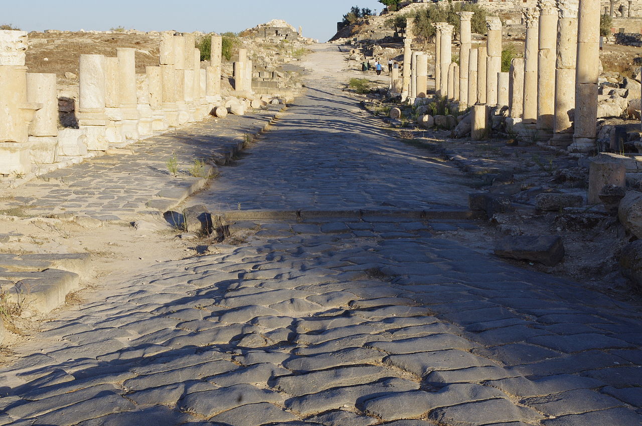
English: Gadara – Umm Qais (Arabic: أم قيس, also transliterated as Umm Qays) is a town in northern Jordan near the site of the ancient town of Gadara. It is situated in the extreme north-west of the country, where the borders of Jordan, Israel and Syria meet, perched on a hilltop (378 metres above sea level), overlooking the sea of Tiberias, the Golan heights and the Yarmuk gorge. Umm Qais is in Jordan's Irbid Governorate and belongs to the Bani Kinanah Department. العربية: ام قيس بلدة أردنية تقع في لواء بني كنانة التابع لمحافظة إربد شمال المملكة. تقع على بعد 28 كم شمال اربد على ارتفاع 364 م تطلع على نهر اليرموك وهضبة الجولان وبحيرة طبريا وقد كان لموقعها الاستراتيجي بالإضافة إلى وفرة مياها نقطة جذب للنشاط السكاني واسمها قديماً جدارا وتعني"التحصينات" أو "المدينة المحصنة" ومن أهم البقايا الأثرية: المدرج الغربي وشارع الاعمدة وكنيسة المقابر المزينة.
|
||
Date | |||
Source | https://www.flickr.com/photos/kjfnjy/5241183581/ | ||
Author | Ken and Nyetta |
Camera location | 32° 39′ 30.6″ N, 35° 40′ 41.8″ E | View this and other nearby images on: OpenStreetMap | 32.658499; 35.678278 |
---|
Licensing
[edit]This image was originally posted to Flickr. Its license was verified as "cc-by-2.0" by the UploadWizard Extension at the time it was transferred to Commons. See the license information for further details. |
- You are free:
- to share – to copy, distribute and transmit the work
- to remix – to adapt the work
- Under the following conditions:
- attribution – You must give appropriate credit, provide a link to the license, and indicate if changes were made. You may do so in any reasonable manner, but not in any way that suggests the licensor endorses you or your use.
This image was uploaded as part of Wiki Loves Monuments 2014.
Afrikaans ∙ Alemannisch ∙ العربية ∙ جازايرية ∙ azərbaycanca ∙ Bikol Central ∙ беларуская ∙ беларуская (тарашкевіца) ∙ български ∙ বাংলা ∙ brezhoneg ∙ bosanski ∙ català ∙ čeština ∙ Cymraeg ∙ dansk ∙ Deutsch ∙ Zazaki ∙ Ελληνικά ∙ English ∙ Esperanto ∙ español ∙ eesti ∙ euskara ∙ فارسی ∙ suomi ∙ français ∙ Frysk ∙ Gaeilge ∙ galego ∙ עברית ∙ हिन्दी ∙ hrvatski ∙ magyar ∙ հայերեն ∙ Bahasa Indonesia ∙ Ido ∙ italiano ∙ 日本語 ∙ ქართული ∙ 한국어 ∙ кыргызча ∙ Lëtzebuergesch ∙ latviešu ∙ Malagasy ∙ македонски ∙ മലയാളം ∙ Bahasa Melayu ∙ Malti ∙ norsk bokmål ∙ नेपाली ∙ Nederlands ∙ norsk nynorsk ∙ norsk ∙ polski ∙ português ∙ português do Brasil ∙ română ∙ русский ∙ sicilianu ∙ davvisámegiella ∙ slovenčina ∙ slovenščina ∙ shqip ∙ српски / srpski ∙ svenska ∙ ไทย ∙ Tagalog ∙ Türkçe ∙ українська ∙ اردو ∙ oʻzbekcha / ўзбекча ∙ Yorùbá ∙ 中文 ∙ 中文(中国大陆) ∙ 中文(简体) ∙ 中文(繁體) ∙ 中文(香港) ∙ 中文(臺灣) ∙ +/− |
File history
Click on a date/time to view the file as it appeared at that time.
Date/Time | Thumbnail | Dimensions | User | Comment | |
---|---|---|---|---|---|
current | 11:01, 24 September 2014 | 4,288 × 2,848 (5.42 MB) | Tarawneh (talk | contribs) | User created page with UploadWizard |
You cannot overwrite this file.
File usage on Commons
There are no pages that use this file.
File usage on other wikis
The following other wikis use this file:
- Usage on el.wikipedia.org
Metadata
This file contains additional information such as Exif metadata which may have been added by the digital camera, scanner, or software program used to create or digitize it. If the file has been modified from its original state, some details such as the timestamp may not fully reflect those of the original file. The timestamp is only as accurate as the clock in the camera, and it may be completely wrong.
Camera manufacturer | PENTAX |
---|---|
Camera model | PENTAX K-x |
Author | Ken Fairfax |
Copyright holder | Kenneth Fairfax |
Exposure time | 1/180 sec (0.0055555555555556) |
F-number | f/11 |
ISO speed rating | 400 |
Date and time of data generation | 17:54, 3 November 2010 |
Lens focal length | 40 mm |
Headline | Main Street in Ancient Gadara |
Image title | This is one of two main streets that intersect in ancient Gadara. The paving is all original and dates from around 2,200 years ago. The columns are nearly 400 years newer -- from the 2nd century AD -- and were stood up after being uncovered by archeologists. Elsewhere along the road, archeologists left many of the columns laying down where they had been put during the Byzantine period when the graceful Roman colonnade was convered into a fortified wall. If you look closely at the paving stones, you can see the ruts left by thousands of ancient carts and chariots. |
Orientation | Normal |
Horizontal resolution | 0 dpi |
Vertical resolution | 25.737372695297 dpi |
Software used | Corel Photo Album 6 |
File change date and time | 19:41, 7 December 2010 |
Y and C positioning | Co-sited |
Exposure Program | Creative program (biased toward depth of field) |
Exif version | 2.2 |
Date and time of digitizing | 17:54, 3 November 2010 |
Meaning of each component |
|
APEX exposure bias | 0 |
Metering mode | Pattern |
Flash | Flash did not fire, compulsory flash suppression |
Supported Flashpix version | 1 |
Color space | sRGB |
Sensing method | One-chip color area sensor |
File source | Digital still camera |
Scene type | A directly photographed image |
Custom image processing | Normal process |
Exposure mode | Auto exposure |
White balance | Auto white balance |
Focal length in 35 mm film | 60 mm |
Scene capture type | Landscape |
Contrast | Hard |
Saturation | Normal |
Sharpness | Hard |
Subject distance range | Distant view |
IIM version | 2 |
- Cultural heritage monuments in Jordan with known IDs
- Files with coordinates missing SDC location of creation
- Flickr images verified by UploadWizard
- CC-BY-2.0
- Images from Wiki Loves Monuments 2014
- Images from Wiki Loves Monuments 2014 in Jordan
- Images from Wiki Loves Monuments missing SDC depicts
- Images from Wiki Loves Monuments missing SDC location of creation
- Images from Wiki Loves Monuments missing SDC creator
- Uploaded via Campaign:wlm-jo