File:Ullardhall Farm - geograph.org.uk - 433244.jpg
Jump to navigation
Jump to search
No higher resolution available.
Ullardhall_Farm_-_geograph.org.uk_-_433244.jpg (640 × 480 pixels, file size: 84 KB, MIME type: image/jpeg)
Captions
Captions
Add a one-line explanation of what this file represents
Summary
[edit]
| Description |
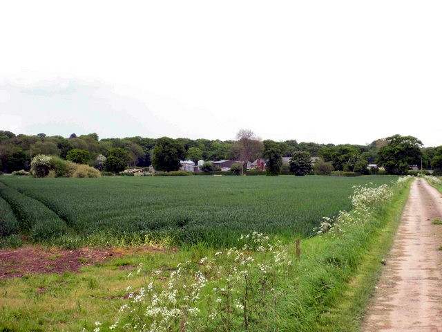
English: Ullardhall Farm Ash Wood SJ748761 lies behind the farm. The public footpath follows the track on the right, bending left through the farm and passing to the left of the wood, before continuing past Toft Hall to the outskirts of Knutsford. Only a few hundred yards behind the photographer runs the busy M6. |
| Date | |
| Source | From geograph.org.uk |
| Author | John Robinson |
| Attribution (required by the license) | John Robinson / Ullardhall Farm / |
| Camera location | | View this and other nearby images on: OpenStreetMap |
|---|
_heading:90.00&language=en)
| Object location | | View this and other nearby images on: OpenStreetMap |
|---|
_heading:90.00&language=en)
Licensing
[edit]

|
This image was taken from the Geograph project collection. See this photograph's page on the Geograph website for the photographer's contact details. The copyright on this image is owned by John Robinson and is licensed for reuse under the Creative Commons Attribution-ShareAlike 2.0 license.
|
This file is licensed under the Creative Commons Attribution-Share Alike 2.0 Generic license.
Attribution: John Robinson
- You are free:
- to share – to copy, distribute and transmit the work
- to remix – to adapt the work
- Under the following conditions:
- attribution – You must give appropriate credit, provide a link to the license, and indicate if changes were made. You may do so in any reasonable manner, but not in any way that suggests the licensor endorses you or your use.
- share alike – If you remix, transform, or build upon the material, you must distribute your contributions under the same or compatible license as the original.
- Remove redundant categories and try to put this image in the most specific category/categories
- Remove this template
- The location categories are based on information from this geonames tool and this OpenStreetMap tool combined with a database. You can also have a look at this tool from mysociety.
- The topic category from Geograph was Farm buildings (find similar images buildings at Geograph)
File history
Click on a date/time to view the file as it appeared at that time.
| Date/Time | Thumbnail | Dimensions | User | Comment | |
|---|---|---|---|---|---|
| current | 16:18, 11 May 2021 | | 640 × 480 (84 KB) | PawełMM (talk | contribs) | white balanced |
| 09:27, 4 February 2011 |  | 640 × 480 (58 KB) | GeographBot (talk | contribs) | == {{int:filedesc}} == {{Information |description={{en|1=Ullardhall Farm Ash Wood SJ748761 lies behind the farm. The public footpath follows the track on the right, bending left through the farm and passing to the left of the wood, before continuing |
You cannot overwrite this file.
File usage on Commons
The following page uses this file:
File usage on other wikis
The following other wikis use this file: